

How Ground Penetration Radar Supports BIM and Digital Twin Development
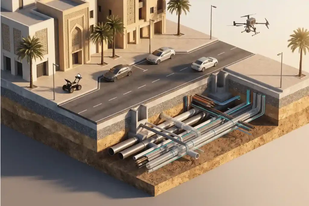
Modern architecture, engineering, and construction (AEC) projects operate in increasingly dense urban environments where physical space above and below the surface is at a premium. While surface topography, structural framing, and architectural facades are documented using advanced reality capture tools, the space beneath concrete slabs, roadway pavements, and building foundations remains largely invisible. Ground Penetrating […]
 English