

Drone LiDAR Mapping and Topographic Survey Workflows for NEOM Oxagon
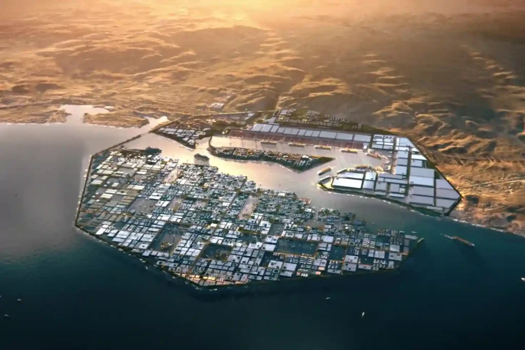
Developing primary infrastructure across Oxagon’s 48 km² core industrial zone along the Red Sea coast requires creating accurate, high-density 3D spatial baselines. Designed as an automated port, clean energy, and industrial hub within NEOM, Oxagon features a complex shape of infrastructure networks. These include multi-utility rights-of-way, heavy haul transport roads, freight rail lines, high-voltage distribution […]
 English