How an Anti Drone System Finds Hidden Threats

Modern industrial sites face a serious risk from low-altitude drones that avoid traditional radar. These unauthorized drones can reach sensitive areas like oil refineries or power plants without being noticed. To stop them, an anti drone system must find these targets as early as possible. This requires moving away from loud sensors and using silent […]
Drone Defense Overview: Exploring the Drone Detection Solution
The sky is becoming a busy place as commercial drones are now used for everything from delivery to photography. While most are harmless, the proliferation of these machines creates new risks for critical infrastructure like power plants and large public events. Traditional security cannot stop a threat that comes from above. This is why modern […]
How to Spot Unknown Drones In Your Facilities in Real-Time

For modern oil and gas refineries, the threat from unauthorized drones is no longer theoretical. Whether it is industrial espionage, illegal photography, or potential physical interference, an unknown UAV in your airspace is a major security breach. However, refineries face a delicate challenge: many traditional drone defense systems use high-power radio signals that can interfere […]
How Drones are Keep Your Petrochemical Inspections On Track Without Risking Your Humans

In the petrochemical industry, traditional inspections are synonymous with high risk. For decades, checking a 50-meter flare stack or a massive crude oil storage tank meant sending humans into “Death Zones”—environments defined by hazardous atmospheres, confined spaces, and extreme heights. Despite strict ISO 45001 safety standards, manual inspections still rely on weeks of scaffolding and […]
Airins’ Autonomous Solutions: Transforming Environmental Monitoring

As we move through 2026, the global push toward Net-Zero and environmental accountability has reached a critical inflection point. Traditional monitoring relying on manual sampling or static sensors is no longer sufficient to meet the speed and precision required by modern regulatory frameworks like OGMP 2.0. The “blind spots” in industrial facilities and aquatic ecosystems […]
How Quadruped Robot Inspects Extreme Industrial 24/7

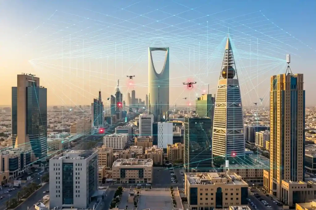
As Saudi Arabia accelerates toward Vision 2030, the Kingdom’s energy sector is undergoing a profound metamorphosis. Leaders like Saudi Aramco and SABIC are moving beyond traditional maintenance toward a future defined by digital twins and unstaffed facilities. However, the bridge between a virtual model and a physical refinery is data—specifically, high-fidelity, real-time data collected from […]
Saving $1 Million Worth of Downtime with Drone-Based NDT

Drone-based non-destructive testing solutions (NDT) are redefining how critical infrastructure is inspected across high-risk, asset-intensive industries. Whether in oil & gas, petrochemical processing, power generation, or heavy manufacturing, the need for accurate, timely, and safe inspection of complex structures has never been more pressing. Non-Destructive Testing (NDT) refers to a range of inspection techniques used […]
Drone Monitoring: Your Fast-Track to ESG and HSE Excellence

Drone monitoring is transforming how oil and gas operators approach environmental and safety obligations. As industrial zones across the globe face mounting pressure over air pollution and its long-term consequences, the shift from static inspection systems to dynamic drone-based solutions has become not only strategic but essential. Traditional air quality monitoring infrastructure, often reliant on […]
Advance Your Horizons: A Guide to Drone Career Path in 2025

The drone career path is no longer an emerging concept, it’s a well-defined route to high-value roles across industries that rely on precision, efficiency, and innovation. From flare stack inspections in oil & gas to aerial mapping in urban planning, drones have become a central part of modern operations. As we step into 2025, UAV […]
Terra Drone Arabia Showcases Advanced Drone Solutions for Mining at Future Minerals Forum 2025

Demonstrating commitment to Saudi Arabia’s mining sector growth through innovative drone applications and industry expertise. Riyadh, Saudi Arabia — January 16, 2025 — Terra Drone Arabia, a leading provider of drone and AI-powered solutions, participated in the Future Minerals Forum 2025, held from January 14 to 16 at the King Abdulaziz International Conference Center in […]
