How DJI Dock 3 Cuts Solar Inspection Costs
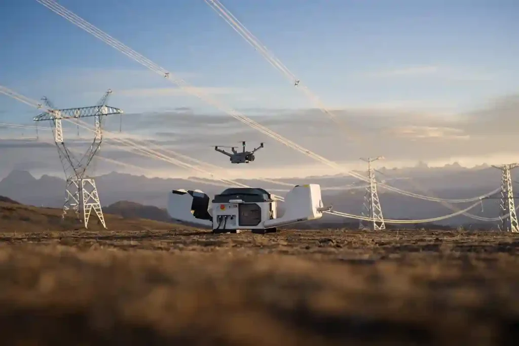
Managing large energy sites often requires massive manual effort and high operational costs. A standard 100MW solar farm covers roughly 3.4 square kilometers and contains over 900,000 panels. Inspecting such a vast area manually can take a ground crew more than one full month to complete. A conventional ground crew of four to six people […]
Owning A Drone vs Hiring a Vendor: Which One Do You Actually Need?

Many business owners see the price tag of a high-end drone and think that is the only cost they need to worry about. But buying a professional drone is like looking at an iceberg. The purchase price is just the small part you see above the water. Beneath the surface is a massive collection of […]
How TDOA Technology Secures Airport Airspace Passively

In modern aviation, a single unauthorized drone sighting can paralyze an entire airport in minutes. Unauthorized UAV intrusions lead to grounded flights, diverted passengers, and millions of dollars in operational losses, not to mention the catastrophic safety risks to aircraft during takeoff and landing. However, airports face a unique technical dilemma: many traditional active radar […]
The Integration of Drones and Building Information Modeling (BIM)

In the rapidly evolving world of construction technology, the integration of drones and Building Information Modeling (BIM) stands out as a pioneering advancement. This powerful combination enhances architectural planning, structural engineering, and project management, revolutionizing how projects are approached, managed, and executed. By marrying aerial insights with detailed 3D modeling, the construction industry is achieving […]
How Drones in Hazardous Areas Collect Data Safely and Efficiently

Transforming Data Collection: Drones in Hazardous Areas Drones in hazardous areas deployment for data collection has been a game-changer in various industries. Their ability to traverse dangerous environments and deliver real-time, accurate data is revolutionizing operations, while ensuring a higher degree of safety for personnel. Benefits of Using Drones in Hazardous Areas for Data Collection […]
Drones for NDT in Oil & Gas and Petrochemical Industries
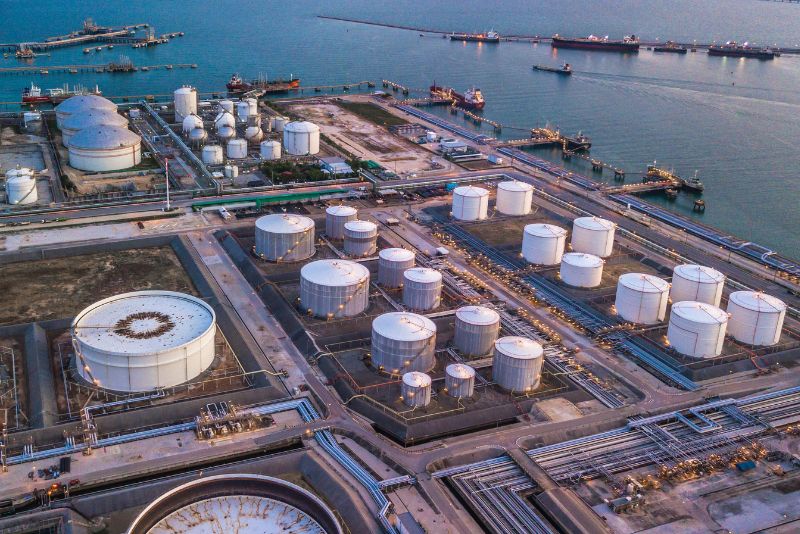
Elevating Inspection Standards: Drones for NDT in Oil & Gas and Petrochemical The adoption of drones for NDT (Non-Destructive Testing) inspections has unlocked unprecedented possibilities for the oil & gas and petrochemical industries. Not only has it improved the safety of personnel, but it has also significantly boosted efficiency and cost-effectiveness. A New Era […]
