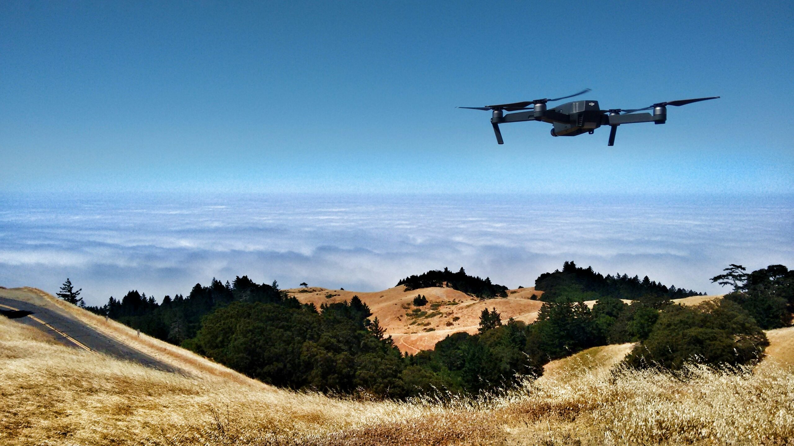
Drones, also known as unmanned aerial vehicles (UAVs), have rapidly transitioned from military applications to become essential tools in various civil and environmental sectors. In the realm of environmental conservation, drones offer a unique perspective, literally and figuratively, by providing a bird’s-eye view that can be critical for monitoring vast and often inaccessible natural areas. This transformative technology is reshaping how conservation efforts are conducted, enabling researchers and conservationists to gather data more efficiently, monitor wildlife more effectively, and manage natural resources more sustainably.
The Rise of UAVs in Environmental Efforts
The integration of UAV technology in the field of environmental conservation represents a significant leap forward in how we understand and manage our natural environment. As ecological challenges mount, from deforestation and habitat loss to climate change-induced disasters, the need for innovative solutions has never been greater. Drones offer just that by providing a versatile platform for data collection and resource management.
Bridging the Gap in Data Collection
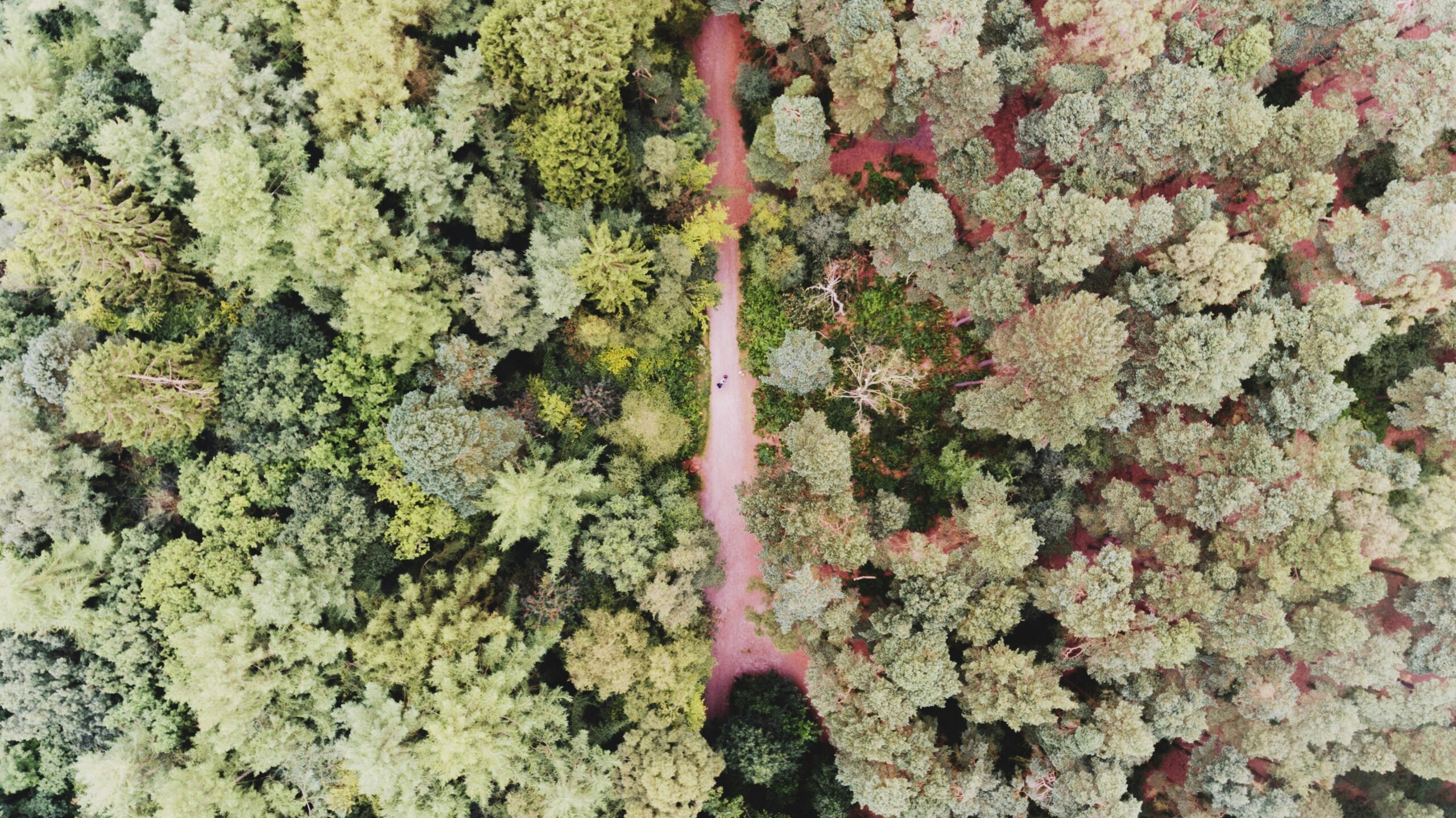
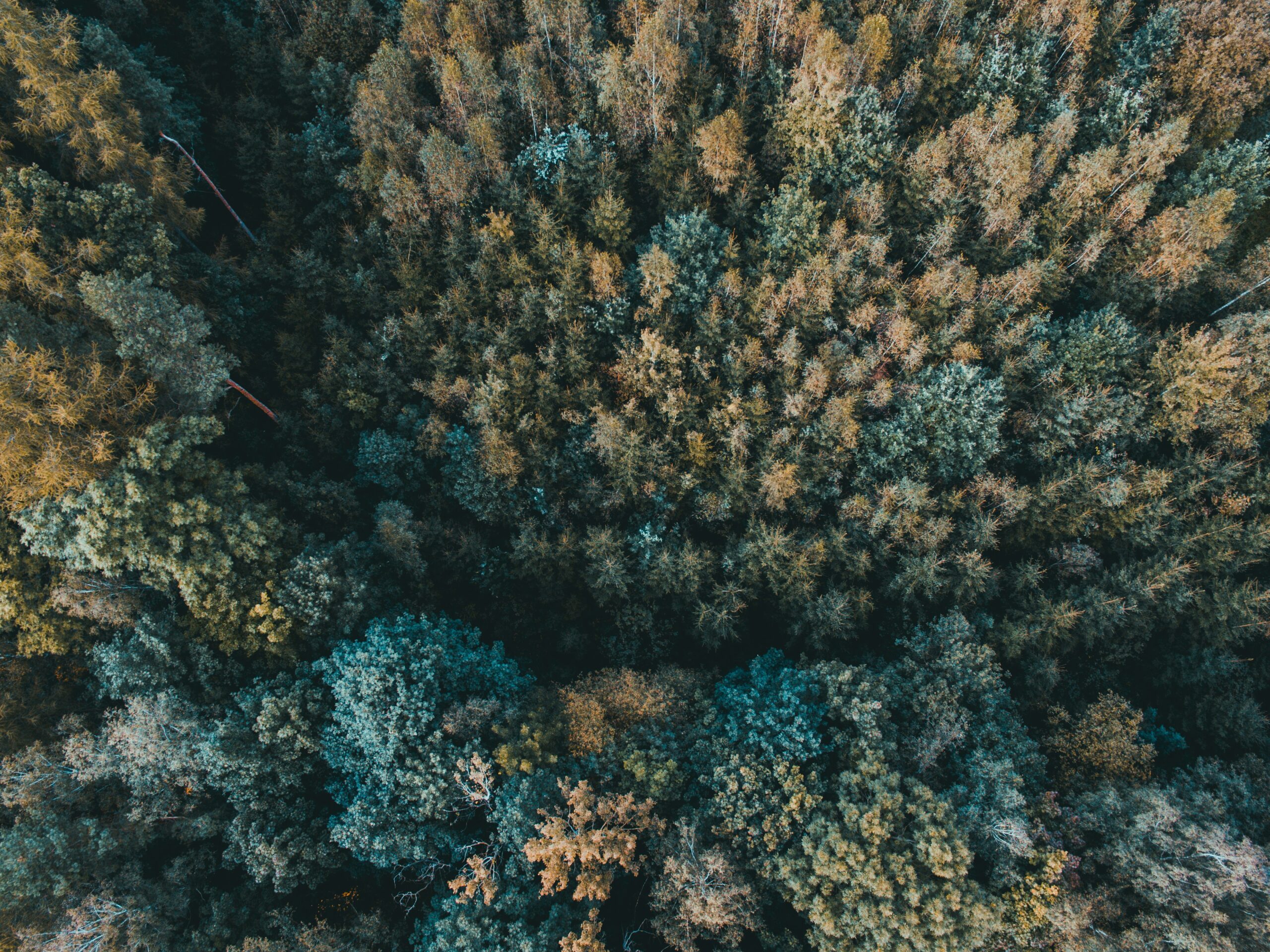
Drones provide a practical solution to the logistical challenges of traditional environmental research, which often involves labor-intensive fieldwork across difficult terrains. UAVs can access virtually any area with minimal impact, from the dense, insect-laden rainforests of the Amazon to the icy expanses of the Arctic. This capability allows for the continuous monitoring of environments that would otherwise be prohibitively expensive or dangerous for human researchers.
By deploying drones, scientists can perform regular surveys over extensive areas without the need for physical presence, reducing both time and labor costs. UAVs equipped with multispectral or hyperspectral cameras can capture data across different wavelengths, providing detailed images that reveal health information about vegetation, water bodies, and even soil conditions. This data is crucial for tracking changes over time, such as the growth or reduction of vegetation in an area, the erosion of soils, or the drying up of lakes and rivers.
Enhancing Precision in Environmental Management
The precision data collected by drones is also instrumental in crafting targeted conservation strategies. For instance, by analyzing drone-captured images using vegetation indices, conservationists can identify specific areas suffering from degradation and intervene appropriately. This method is particularly useful in managing protected areas, where precise information about the location and extent of threats is crucial for effective stewardship.
Furthermore, UAVs can facilitate the restoration of ecosystems by mapping degraded areas for reforestation and tracking the progress and success of these initiatives. This application is increasingly important as global efforts to combat climate change include significant reforestation components, which require careful planning and monitoring to ensure their long-term viability.
Supporting Biodiversity and Habitat Conservation
Drones also play a critical role in biodiversity conservation by enabling the detailed mapping of habitats and the species that inhabit them. UAV technology helps identify patterns of habitat use and the impacts of human activity on wildlife corridors, which are essential for the movement of species across landscapes. Such information is vital for creating effective conservation plans that accommodate both wildlife needs and human interests.
For example, in marine environments, drones are used to map coral reefs and assess their health, which is vital for marine biodiversity. They provide high-resolution imagery that can detect changes in reef structures, track bleaching events, and monitor the recovery of reefs over time. In terrestrial environments, drones help in mapping forest canopy gaps, which are crucial for understanding forest health and the dynamics of various species that depend on these forests for their survival.
Monitoring Wildlife with UAVs
Drones are proving to be an indispensable tool in the field of wildlife conservation, offering a minimally invasive method to study and protect animal populations. This technological advancement has fundamentally changed the landscape of ecological research, providing unprecedented insights into the natural behaviors and habitats of diverse species.
Non-Intrusive Observation Techniques
The primary advantage of using drones in wildlife monitoring is their ability to observe animals without causing significant disturbance. Traditional wildlife monitoring techniques, which often require close physical proximity to animals, can lead to stress and behavioral changes in wildlife. Drones eliminate much of this risk by observing from a distance, making it possible to gather more naturalistic data about species in their habitats.
For example, researchers use UAVs to study the nesting behaviors of birds in high treetops or cliff faces, areas that are typically inaccessible or risky for human climbers. Drones can quietly hover at a safe distance, capturing high-definition video and photographs without disrupting the nesting process. This kind of observation is crucial for understanding breeding patterns and survival rates, which are key indicators of the health of bird populations.
Enhancing Data Accuracy and Coverage
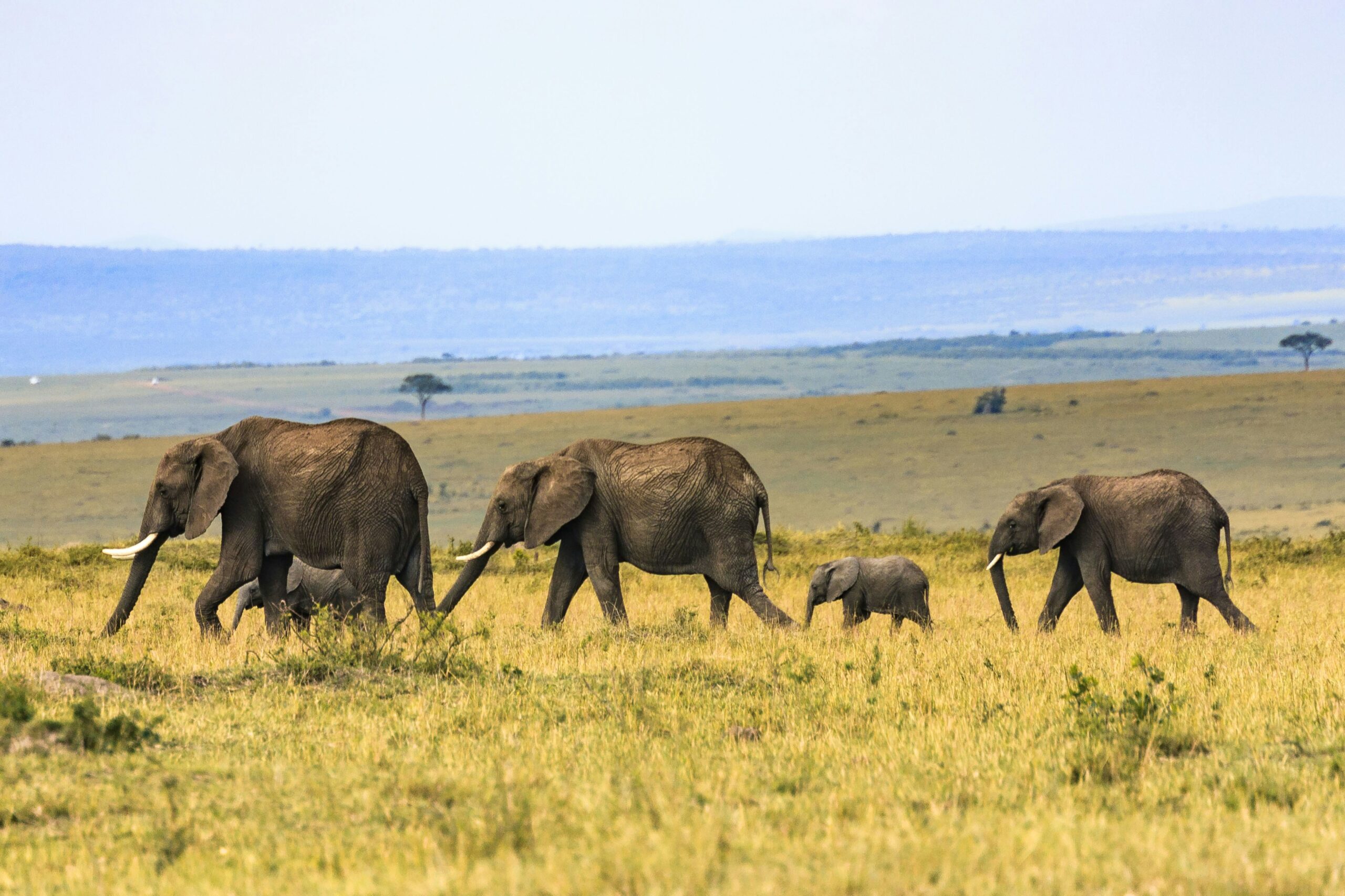
Drones also excel in providing broad geographical coverage and detailed, accurate data collection over expansive areas. This capability is essential for tracking wildlife across large territories or in tracking migratory patterns. Equipped with GPS and advanced imaging technologies, drones can follow herds of large mammals, such as elephants or wildebeests, across savannahs or other open landscapes, documenting their movement patterns and interactions with the environment.
This data is invaluable for conservation efforts, as it helps identify critical habitats, migration corridors, and potential conflict zones with human activities. Furthermore, UAVs can be used in conjunction with other technologies, such as radio collars or satellite tracking, to provide a comprehensive understanding of wildlife dynamics.
Case Studies in Conservation Success
One notable success story of drone usage in wildlife monitoring is the protection of the rhinoceros from poachers in African game reserves. Drones equipped with night-vision cameras patrol vast areas of the reserve, providing live feeds to conservation teams. This proactive surveillance acts as a deterrent to poachers and has significantly increased the response times of anti-poaching units, directly contributing to the decline in poaching incidents in areas covered by drone operations.
Similarly, in marine environments, scientists use drones to monitor sea turtle nesting sites on beaches. Drones conduct aerial surveys to count nests and track hatching success rates without disturbing the nests, something that ground-based observers might inadvertently do. This data helps marine biologists understand the impacts of environmental factors, such as beach erosion or rising sea levels, on turtle breeding success.
Battling Illegal Logging with UAV Surveillance
Illegal logging is a major global concern that not only contributes to significant environmental destruction but also undermines the economic and ecological stability of forested regions. Drones in conservation are becoming a game-changer in the fight against this illegal activity by enhancing surveillance capabilities and providing real-time data crucial for enforcement and prevention efforts.
Advanced Surveillance Capabilities
Drones equipped with high-resolution cameras and night-vision capabilities can monitor vast forest areas with a level of detail that is impossible to achieve through ground patrols alone. These UAVs can fly over hard-to-reach areas and transmit live footage back to control centers, where it can be analyzed by experts in real-time. This allows for the immediate identification of suspicious activities, such as the movement of trucks at odd hours or the presence of unauthorized personnel in protected zones.
Additionally, drones can be equipped with thermal imaging technology, which is invaluable for operations conducted during the night or in dense forests where visibility is limited. Thermal cameras can detect heat signatures from humans and vehicles, which stand out against the cooler backdrop of the natural environment, making it easier to spot illegal loggers even when they attempt to hide or operate under the cover of darkness.
Cost-Effective and Efficient Operations
Utilizing drones for surveillance is not only more effective but also more cost-efficient compared to traditional methods. Maintaining manned aircraft or conducting regular patrols with large teams of rangers involves significant financial and human resources. Drones, on the other hand, can cover much larger areas in a shorter time, reducing the need for extensive manpower and cutting operational costs.
This efficiency makes drones an attractive option for conservation agencies, especially those operating with limited budgets in developing countries where illegal logging is most rampant. By deploying drones, these agencies can maximize their resources while increasing the frequency and coverage of their monitoring efforts.
Enhancing Legal Enforcement and Compliance
The real-time data provided by drones is also crucial for legal enforcement. When illegal activity is detected, GPS coordinates and video evidence collected by drones can be used to guide law enforcement agencies to the exact location of the breach. This not only facilitates quicker response times but also improves the chances of apprehending perpetrators and collecting evidence needed for prosecution.
Furthermore, the mere presence of drones can act as a significant deterrent to illegal loggers. Knowing that the area is under constant surveillance and that their illegal activities can be spotted and responded to swiftly increases the risk associated with illegal logging, thereby discouraging the activity.
The Expanding Role of Drones in Pollution Assessment
In an age where environmental pollution poses significant threats to public health and ecosystems, drones are emerging as pivotal tools in the identification and management of pollutants. Their ability to access hard-to-reach places and collect data quickly makes them indispensable for environmental scientists and regulatory agencies.
Read more about it here: Drone-Assisted Monitoring of Atmospheric Pollution—A Comprehensive Review
Rapid Response to Environmental Hazards
Drones can be deployed swiftly in response to environmental emergencies, such as chemical spills, oil leaks, or unusual emissions from industrial sites. Equipped with specialized sensors, these UAVs can collect air and water samples from affected areas without risking human health or requiring expensive and time-consuming setup of ground-based equipment. This rapid response capability allows for immediate assessment of the situation, helping to limit environmental damage and inform effective cleanup strategies.
For instance, following an oil spill, drones can be used to map the spread of oil, monitor its movement in water, and guide containment and recovery efforts. This use of drones not only speeds up response times but also provides a comprehensive overview of the spill that is crucial for coordinating emergency actions and reporting to environmental protection agencies.
Detailed Monitoring of Air and Water Quality
Drones are also revolutionizing the monitoring of air and water quality. UAVs equipped with gas analyzers, particulate counters, and other detection technologies can gather detailed data on the concentration of various pollutants, such as VOCs (volatile organic compounds), particulate matter, and heavy metals in the atmosphere or water bodies.
This capability is particularly important in urban and industrial areas, where air quality can vary significantly over small distances and pollution sources are numerous. Drones can easily traverse these areas, providing a detailed pollution map that helps local authorities and environmental organizations target their interventions more effectively.
In terms of water quality, drones are used to assess the health of rivers, lakes, and oceans by measuring parameters such as pH, turbidity, and the presence of harmful algae blooms. The ability to quickly survey large areas of water and access locations that are otherwise difficult or dangerous to reach (like the middle of a large polluted lake) enhances the accuracy and efficiency of environmental monitoring.
Long-term Environmental Management
Beyond immediate responses to pollution, drones offer a sustainable option for long-term environmental management. Regular drone flights can track changes in environmental conditions over time, providing valuable data that can be used to assess the effectiveness of pollution control measures and refine environmental policies.
For instance, in urban planning, data collected by drones can help in designing green zones that reduce air pollution or managing water runoff in ways that minimize contamination of waterways. In agriculture, drones can identify areas of pesticide runoff that may be affecting nearby natural habitats, allowing for the implementation of corrective measures to prevent further harm.
Future Directions: The Expanding Scope of UAVs in Environmental Conservation
The potential for future advancements in drone technology and its applications in conservation is immense. Innovations are expected to enhance UAV endurance, allowing for longer flights and greater coverage areas. Additionally, improvements in AI and machine learning will enable drones to process environmental data on the fly, making real-time environmental monitoring a reality.
Drones are not merely tools; they represent a paradigm shift in conservation strategies. As UAV technology advances, it promises to further empower those dedicated to preserving our natural world, heralding a new era of environmental stewardship.

