


BIM and drones in the evolving landscape of construction technology stand out as a game-changer. This powerful combination is revolutionizing construction workflows, leading to unprecedented levels of operational efficiency. For project managers, architects, engineers, and industry professionals, understanding this integration is key to driving success in modern construction projects.
Synergy Between BIM Software and Drone Technology
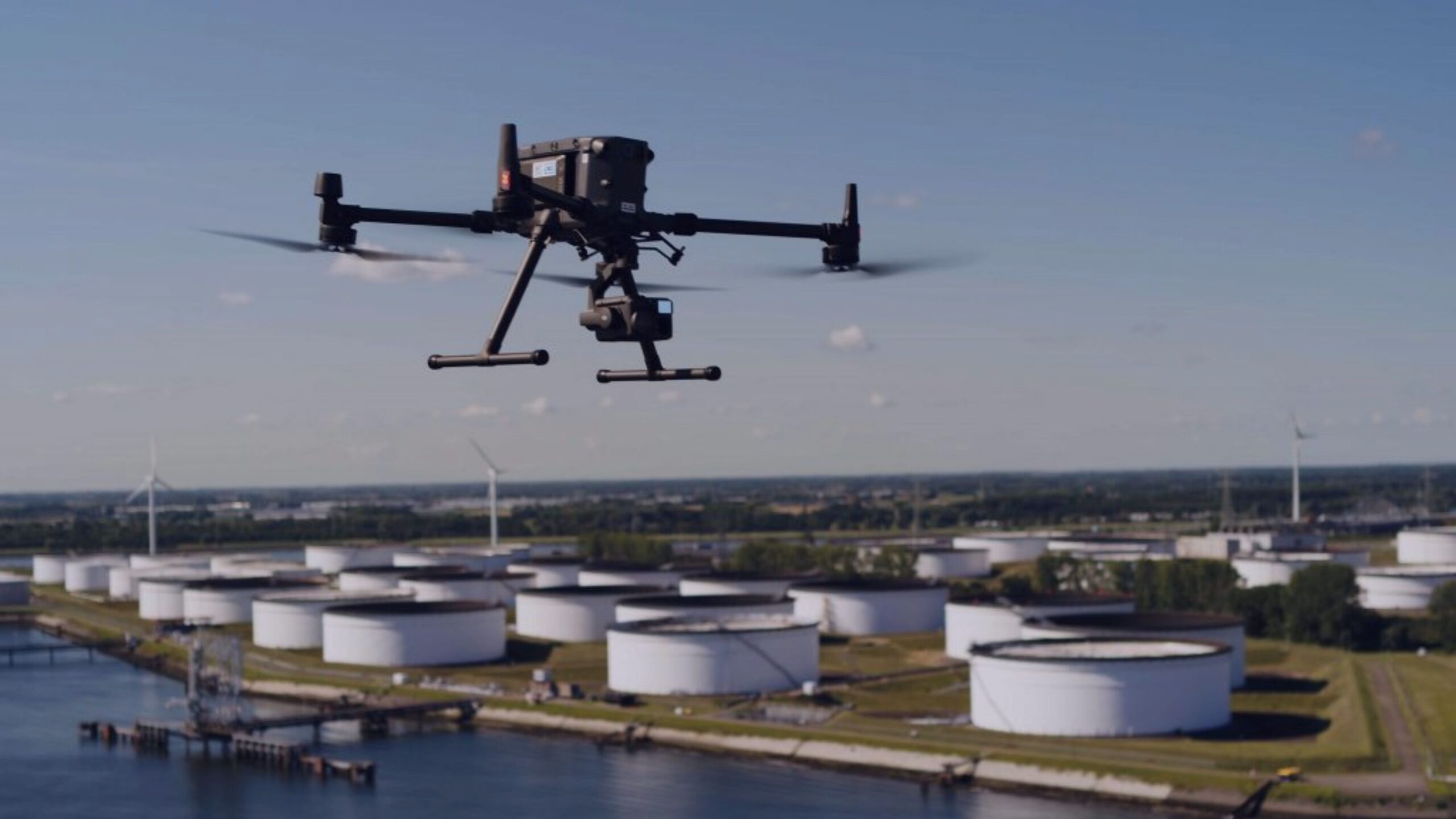
The integration of BIM and drone technology creates a robust framework for managing complex construction projects. Drones provide aerial data that BIM software uses to enhance the virtual construction environment, making it richer and more accurate. This synergy not only streamlines project phases but also ensures that they are executed with greater precision.
Key Improvements in Construction Workflows
Increased Accuracy and Reduced Errors
High-resolution data captured by drones is seamlessly integrated into BIM systems, significantly reducing discrepancies and preventing costly errors. Frequent aerial updates ensure that BIM models remain accurate and reflective of real-world conditions, crucial for maintaining construction integrity and adherence to planned outlines.
Improved Project Management
Real-time insights provided by drones enhance decision-making and communication across teams. Project managers gain a bird’s-eye view of the site, helping them oversee operations more effectively and respond swiftly to any arising issues. This capability ensures that projects stay on track and within budget, boosting overall construction site productivity.
Read why is this so: Drones in Construction: Why Project Managers are Using Them
Cost Efficiency
The speed and precision of drone surveys reduce the time and resources traditionally required for data collection, thus lowering operational costs. Moreover, the accuracy of drone data minimizes rework by catching potential issues early in the construction process, and optimizes resource allocation—each contributing to a more cost-effective project execution.

In A Nutshell
The collaboration between BIM and drone technology is not just enhancing construction project outcomes—it’s redefining them. By leveraging this integration, construction professionals can achieve higher accuracy, improved management efficiency, and greater cost savings. As we continue to embrace these advancements, the construction industry is set to become smarter, safer, and more sustainable.

 English