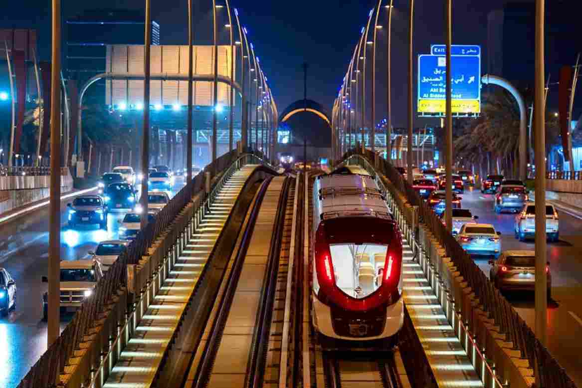
The Royal Commission for Riyadh City (RCRC) is actively extending the Riyadh Metro Red Line by 8.4 kilometers, driving the transit network directly into the Diriyah Gate development project.
This mass infrastructure expansion introduces a significant civil engineering challenge, requiring 7.1 kilometers of deep underground tunneling alongside 1.3 kilometers of elevated viaduct tracks.
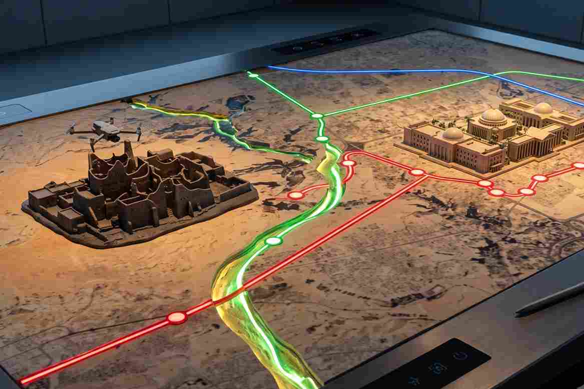
The expansion introduces five new stations: two located at King Saud University (KSU) and three distributed within the Diriyah district.
Once completed around 2032, this railway link will dramatically alter inter-city connectivity, cutting projected commute times to under 15 minutes from STC Station and less than 20 minutes from the King Abdullah Financial District (KAFD).
However, linear rail developments of this magnitude are historically vulnerable to severe scheduling and budget deviations.
A global infrastructure analysis reveals that major rail projects experience an average budget overrun of 44.7%, while related structural elements like tunnels and bridges face an average 35% cost expansion.
Most importantly, the data indicates that external regulatory or political shifts are rarely the primary cause; instead, poor site execution is directly responsible for 73% of these time and cost overruns.
To protect the 2032 completion timeline, engineering consortiums must look past traditional oversight and implement progressive site tracking methods.
Tracking the Physical Transition from Groundworks to Deep Excavations
Preliminary ground works and construction have already commenced at the King Saud University station sites.
As the project transitions from initial surface clearing to deep shaft excavations for underground lines and concrete pier installations for elevated tracks, tracking geometric accuracy becomes increasingly complex.
Managing the intersections between underground bored tunnels and above-ground station structures leaves zero margin for spatial error.
Traditional monitoring methods fall short when applied to an active 8.4-kilometer construction corridor.
Relying on basic aerial photography or slow manual field notes cannot scale across complex overground and underground rail boundaries.
When ground teams rely on manual tape measurements or uncalibrated visual checks, small placement errors go unnoticed.
By the time an error is discovered during the installation of steel tracks or precast station modules, the resulting delay impacts the entire transit corridor.
High-frequency, progressive reality capture is essential to provide engineering teams with the ongoing utility needed to detect structural design clashes early, verify excavation progress, and keep the project moving according to schedule.
Why The DJI Matrice 4 Enterprise for This?
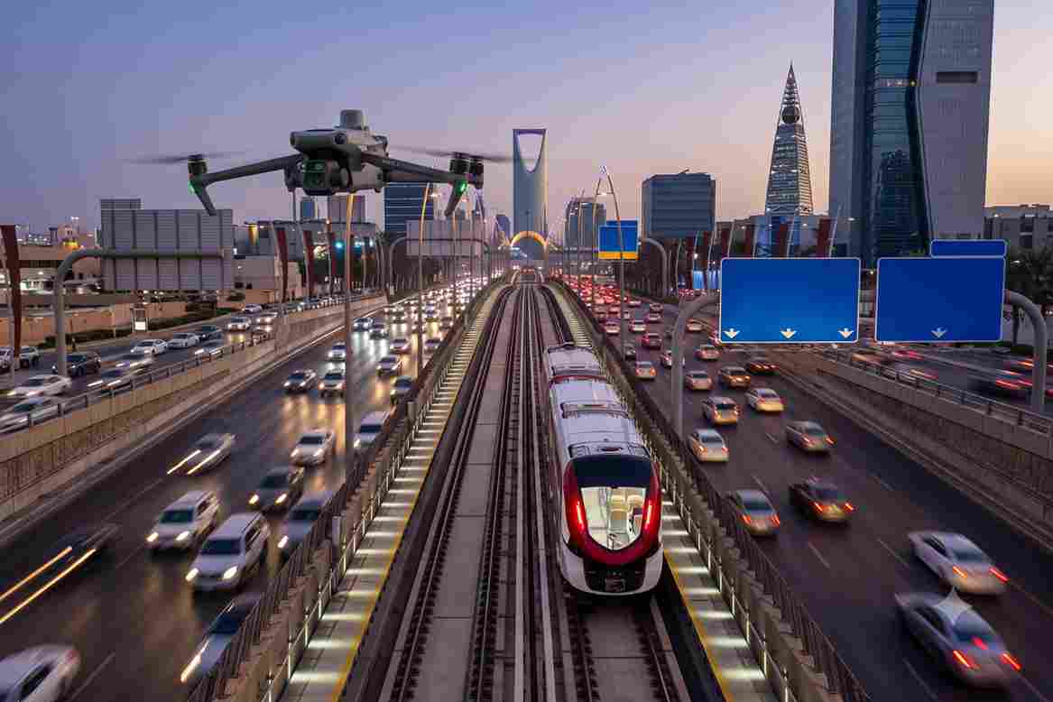
To establish absolute structural transparency and maintain tight control over execution variations, project teams deploy the compact DJI Matrice 4 Enterprise drone across active transit construction zones.
This aerial platform operates as an automated digital ledger, tracking earthwork volumes and structural alignment day by day.
The drone airframe is highly optimized for linear infrastructure monitoring. It is light, fast to deploy weekly, and handles large, complex site grids easily without requiring heavy ground equipment setups or interrupting active excavators and tunnel boring machine operations.
The DJI Matrice 4 Enterprise overcomes the common problem of data distortion through its specialized hardware configuration:
- Zero Image Blur via Mechanical Shutter: Traditional drone cameras utilize electronic shutters that record images line-by-line while moving. At high flight speeds, this creates a “rolling shutter” warping effect, bending the straight lines of rails, concrete columns, and excavation walls. The DJI Matrice 4 Enterprise features a built-in 20MP Mechanical Shutter Camera that opens and closes instantly, completely preventing image blur and geometric distortion when flying fast over active construction yards.
- Centimeter-Level Map Accuracy: To ensure this imagery is useful for engineering audits, the drone uses an integrated RTK Module that constantly synchronizes with ground base stations. This real-time kinematic link corrects satellite signals instantly, overriding standard GPS drift to provide survey-grade, centimeter-level mapping accuracy where every pixel of data is tied to exact geographic coordinates.
Once the weekly flight grids are completed, photogrammetry software processes the image packages to generate a high-density 3D reality mesh.
This progressive 3D digital twin captures the exact as-built state of the stations and tracks.
Engineers can overlay this digital model directly onto the original Building Information Modeling (BIM) design blueprints to run virtual alignment audits.
If a deep excavation wall or an elevated viaduct pier deviates from the blueprints by even a few millimeters, the software flags the error instantly.
This allows the engineering consortium to correct the placement before concrete cures or subsequent steel components are laid down.
The economic value of this workflow is verified by international infrastructure data.
Studies confirm that 60% to 70% of construction executives state that integrating drone platforms directly into site workflows successfully shortens project schedules and cuts total project budgets by at least 10%.
Cutting Gaps in The Infrastructure
Relying on slow field tracking or unverified manual reporting introduces unnecessary risks to large-scale mass transit developments.
Transitioning to automated remote spatial audits ensures that building components and deep excavations align perfectly with design models from the moment groundwork begins.
This proactive verification process keeps railway infrastructure timelines secure, logistics optimized, and downstream budgets completely intact.
Consult with our expert today to integrate digital twin and drone logistics management workflows into your next infrastructure project.

