How Virtual Models Prevent Costly Building Mistakes Before It’s Built
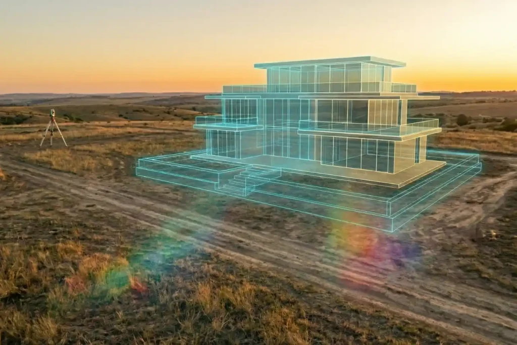
Urban planning is, without a doubt, a beautiful prospect. There is a certain magic in envisioning a skyline defined by luxurious, modern architecture and vibrant communal spaces. But as any developer knows, bringing those sleek glass-and-steel visions to life is where the true challenge begins. Planning a development isn’t as simple as placing pawns on […]
Safe Site Measurement: Visual RTK GNSS Measurement for Elevation Models and Surface Mapping

In the high-stakes environments of 2026, topographic surveying has evolved. We have moved past simple coordinates and into the realm of complex Digital Elevation Models (DEM) and Digital Surface Models (DSM). However, a persistent challenge remains: the vertical barrier. Whether it is an unstable pit wall in a quarry or a jagged stockpile in a […]
DJI Mavic 3: The Portable Work Drone
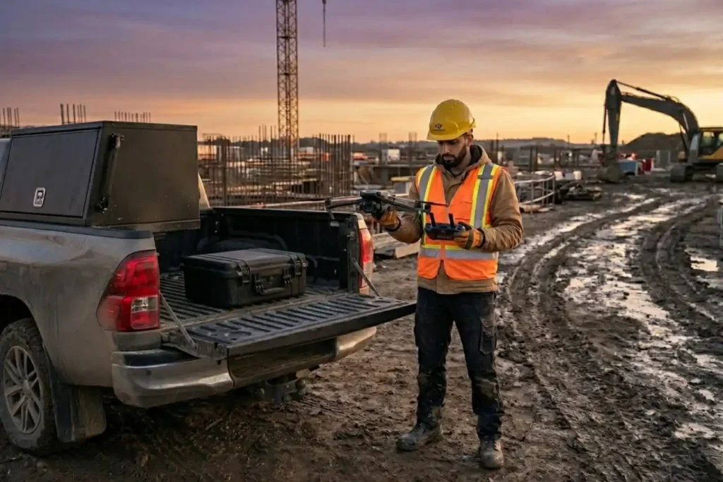
For years, professional drone operations were synonymous with large vans, heavy equipment cases, and multi-person crews. However, as we move through 2026, the industry has realized a vital truth: drones alone are no longer enough for operational purposes. While the aircraft gets you into the sky, reliable software is needed to process the large amounts […]
The Complete DJI Enterprise Software Guide: From Data to Intel

Drones alone are no longer enough for operational purposes. While a high-performance aircraft is the “muscle” of the operation, it is merely a vehicle for sensors. To truly unlock value, reliable software is needed to process large amounts of data acquired during field missions. The complexity of modern infrastructure means that “one size fits all” […]
Drone Battery Storage & Safety: The Essential Guide

In recent years, lithium-ion battery incidents have surged globally, with reports showing a 17% increase in related fires due to mishandling during storage and charging. A single lithium battery failure can trigger “thermal runaway,” a catastrophic chain reaction where temperatures spike from 100°C to over 1,000°C in seconds. Alarmingly, over 50% of these fires occur […]
How DJI FlyCart 30 Delivers in Difficult Terrain and High Altitudes

In 2026, drone delivery has transitioned from an emerging trend into a formidable operational challenge. As global industries push for total automation, the real test lies in the “Last Mile”—the final, most difficult stretch of the supply chain. While the world demands faster connectivity, remote and mountainous terrains continue to pose a multi-million dollar bottleneck […]
How to Spot Unknown Drones In Your Facilities in Real-Time

For modern oil and gas refineries, the threat from unauthorized drones is no longer theoretical. Whether it is industrial espionage, illegal photography, or potential physical interference, an unknown UAV in your airspace is a major security breach. However, refineries face a delicate challenge: many traditional drone defense systems use high-power radio signals that can interfere […]
How Drones are Keep Your Petrochemical Inspections On Track Without Risking Your Humans

In the petrochemical industry, traditional inspections are synonymous with high risk. For decades, checking a 50-meter flare stack or a massive crude oil storage tank meant sending humans into “Death Zones”—environments defined by hazardous atmospheres, confined spaces, and extreme heights. Despite strict ISO 45001 safety standards, manual inspections still rely on weeks of scaffolding and […]
How TDOA Technology Secures Airport Airspace Passively

In modern aviation, a single unauthorized drone sighting can paralyze an entire airport in minutes. Unauthorized UAV intrusions lead to grounded flights, diverted passengers, and millions of dollars in operational losses, not to mention the catastrophic safety risks to aircraft during takeoff and landing. However, airports face a unique technical dilemma: many traditional active radar […]
Securing The Energy Asset: Why Active Anti-Drone Defense is Essential in 2026

The Middle East has long been a region defined by complex tensions and volatile geopolitics that threaten global social and economic stability. In such an unstable environment, the active protection of vital national assets, ranging from military installations and government hubs to critical energy infrastructure is no longer a luxury, but a prerequisite for national […]