Habitat Mapping for Bird Migration: Protecting Safe Stops
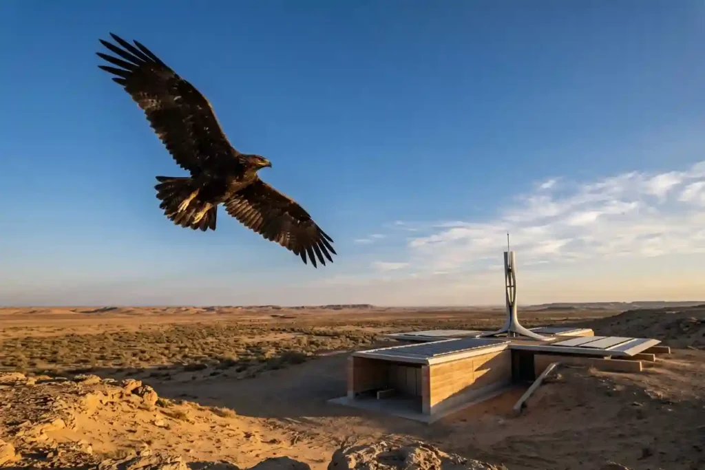
Every year, millions of birds cross continents to find better weather and food. As of May 2026, Saudi Arabia remains a vital safe haven on the African-Eurasian flyway, serving as a rest stop for these travelers. The Kingdom is home to over 500 bird species and hosts 14 out of the 15 species that are […]
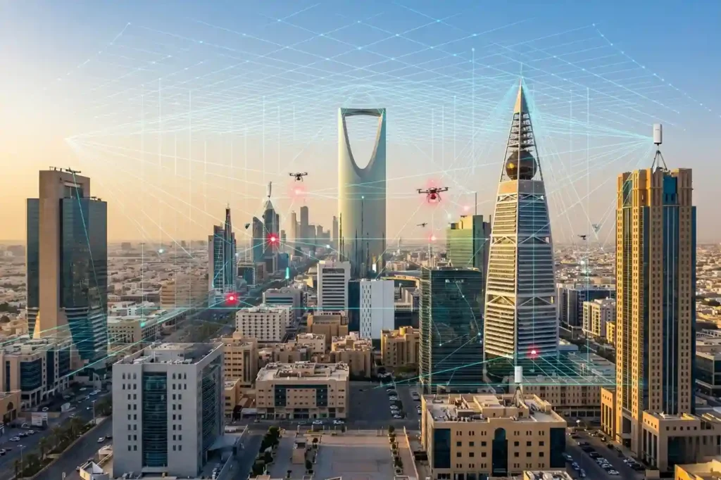
Surveillance Unit For Smart Cities: Saving Lives in 90 Seconds
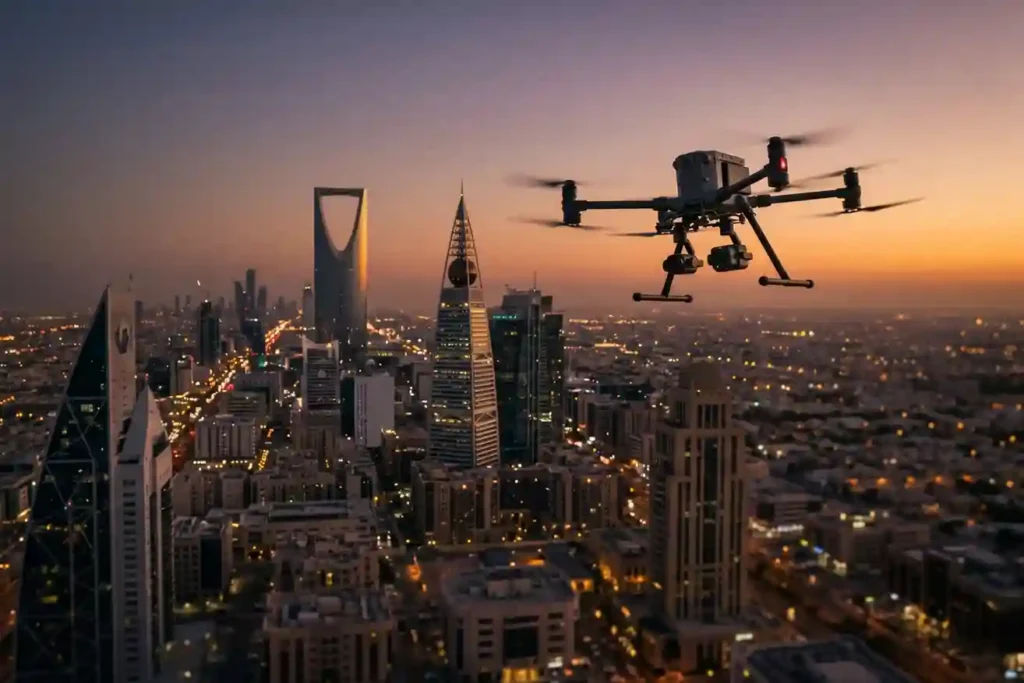
The “7-minute gap” is a major problem for emergency services in modern smart cities. While ground teams try to reach an emergency in 7 minutes, rising traffic and massive construction projects in cities like Riyadh and Jeddah make this almost impossible. The need for better monitoring is a global trend. Recently, the Sindh police in […]
GACA Drone Regulations: The 2026 Permit Guide
In 2026, Saudi Arabia’s drone industry is a core part of the Kingdom’s digital transformation and Vision 2030 goals. Operating a drone professionally requires more than just a controller; it requires a multi-step legal framework. Following GACA regulations ensures that your business objectives are recognized as part of a safe and integrated airspace. This guide […]
How an Anti Drone System Finds Hidden Threats

Modern industrial sites face a serious risk from low-altitude drones that avoid traditional radar. These unauthorized drones can reach sensitive areas like oil refineries or power plants without being noticed. To stop them, an anti drone system must find these targets as early as possible. This requires moving away from loud sensors and using silent […]
How DJI Dock 3 Cuts Solar Inspection Costs

Managing large energy sites often requires massive manual effort and high operational costs. A standard 100MW solar farm covers roughly 3.4 square kilometers and contains over 900,000 panels. Inspecting such a vast area manually can take a ground crew more than one full month to complete. A conventional ground crew of four to six people […]
Shahed-136: Affordable Protection for Strategic Sites

The modern battlefield is undergoing a rapid and permanent transformation. The Shahed-136 has transitioned from a niche experimental tool into what experts call a “single reliable weapon” for asymmetric warfare. These slow-moving loitering munitions are designed for one purpose: to strike deep into enemy territory with high precision. They have moved the front lines away […]
Real-Time Traffic Management With Drones to End Road Jams
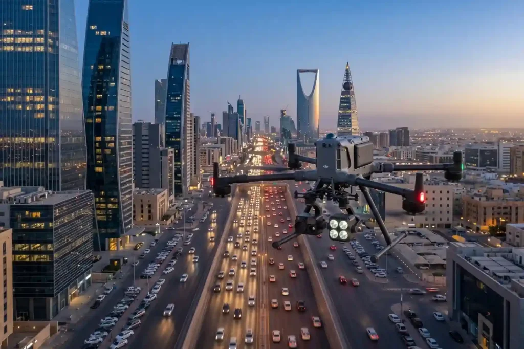
In rapidly growing cities like Riyadh and Jeddah, traffic congestion is more than a simple daily annoyance. It represents a significant drag on economic productivity and a hurdle to improving the general quality of life. The primary issue with current infrastructure is that most traffic lights operate on static, fixed timers. These systems are unable […]
Why We Need Digital Twins to Save Our Ancient Landmarks
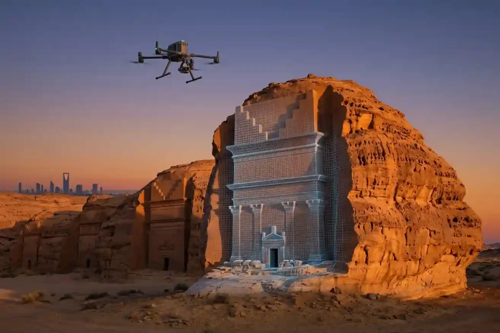
History is not permanent. Even the strongest stones of Al-Ula and the ancient mud-brick walls of Diriyah face a silent, constant threat from time, weather, and the natural process of decay. While we cannot stop the clock, we now have the technology to create a perfect digital backup of these treasures before they change forever. […]
Owning A Drone vs Hiring a Vendor: Which One Do You Actually Need?
Many business owners see the price tag of a high-end drone and think that is the only cost they need to worry about. But buying a professional drone is like looking at an iceberg. The purchase price is just the small part you see above the water. Beneath the surface is a massive collection of […]
Drone Defense Overview: Exploring the Drone Detection Solution
The sky is becoming a busy place as commercial drones are now used for everything from delivery to photography. While most are harmless, the proliferation of these machines creates new risks for critical infrastructure like power plants and large public events. Traditional security cannot stop a threat that comes from above. This is why modern […]