

I. Executive Summary & Project Objective
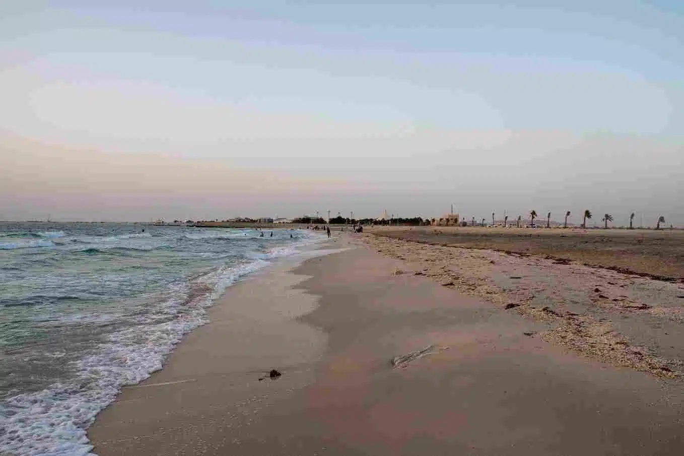
This technical case study details the execution of a large-scale aerial mapping and environmental monitoring initiative across a highly sensitive intertidal ecosystem.
The target coastal footprint sustained severe ecological damage from historical regional environmental disruptions.
To establish a baseline for long-term environmental remediation, habitat restoration, and regulatory compliance, the project required a comprehensive, high-resolution topographic and imagery dataset.
The mission encompassed a total survey area of 414.75 square kilometers, divided into four distinct operational zones:
- Area 1: 341.87 km2
- Area 2: 2.00 km2
- Area 3: 58.78 km2
- Area 4: 12.10 km2
The core objective was to capture survey-grade Light Detection and Ranging (LiDAR) data alongside high-resolution photogrammetric imagery.
This data provides a baseline to evaluate land transformation, track physical erosion, and support ongoing coastal ecosystem rehabilitation.
II. The Primary Logistical Constraint: The Tidal Window
Executing a coastal survey of this magnitude introduces severe intertidal constraints.
Because coastal mudflats, sandbars, and shallow shorelines change geometry rapidly with ocean movements, the land must be completely exposed to capture accurate topography.
Collecting data during high tide would mask sub-surface features and distort elevation data.
To overcome this, the project team engineered a highly synchronized flight matrix integrated directly with regional historical tidal schedules.
Operations were restricted to strict, daily low-tide windows. This constraint compressed the available flight times, leaving zero room for equipment downtime or optimization delays.
Traditional ground surveying methods were entirely unviable for this project. Walking a 414-square-kilometer active intertidal zone is physically impossible within compressed tidal windows and poses severe safety risks to ground crews.
Deploying high-speed, autonomous aerial reality capture was the only modern workflow capable of covering these expansive grids safely while preserving absolute data consistency before the incoming tide altered the landscape.
III. Multimodal Fleet Selection & Payload Configuration
To maximize data collection efficiency during the short low-tide windows, the team deployed a hybrid, multimodal fleet consisting of both fixed-wing Vertical Takeoff and Landing (VTOL) and multirotor drone platforms:
1. Fixed-Wing VTOL Fleet (Wide-Area Coverage)
- Airframe: Quantum Systems Trinity Pro
- Operational Role: Selected as the primary wide-area mapping platform due to its 90-minute flight endurance and optimal cruise speed of 17 m/s.
- Efficiency: Enabled the team to cover up to 3.5 square kilometers per individual flight, making it the ideal asset for the expansive 341.87 $\text{km}^2$ Area 1 footprint.
- Primary Payload: Qube 240 LiDAR Sensor
- Performance: Achieved an ultra-precise structural accuracy of under 3 cm. The active laser pulses easily penetrated sparse coastal vegetation to capture the true bare-earth terrain grid.
2. Multirotor Fleet (Targeted & Complex Terrain)
- Airframe: DJI Matrice 350 RTK (M350 RTK)
- Operational Role: Deployed for localized, high-density scanning over complex shoreline infrastructures, structural boundaries, and restricted operational zones.
- Efficiency: Handled high-wind coastal conditions easily, operating at a consistent survey speed of 12 m/s at 95 meters above ground level (AGL).
- Primary Payload: DJI Zenmuse L2 LiDAR integrated with a high-resolution photogrammetry camera.
- Performance: Captured dense point clouds at a rate of up to 240,000 points per second (single return), ensuring a high data density across irregular coastal features.
3. Flight Calibration Parameters
- LiDAR Density: Locked in a targeted system density of 4 to 8 points per square meter across all zones.
- Photogrammetry Resolution: Planned flight altitudes to secure a crisp Ground Sampling Distance (GSD) of 6 to 10 cm per pixel, guaranteeing high-fidelity visual orthomosaics.
- Data Redundancy: Programmed all flight missions with a strict 70% forward overlap and 20% side lap for LiDAR data to ensure complete coverage and data redundancy.
IV. Establishing Geodetic Ground Control
To anchor the aerial data to real-world coordinates and meet strict geographic standards, the team established a rigid ground control network before launching any flight missions.
- Hardware Deployment: High-precision Trimble R12 and DJI D-RTK 2 GNSS base receivers were deployed across accessible coastal terrain.
- Control Infrastructure: Teams installed a network of Permanent Reference Markers (PRMs) and Ground Control Points (GCPs). These benchmarks were tied directly to the national geodetic network via static post-processed measurements, securing a baseline geodetic precision of under 5 centimeters.
- RTK Synchronization: During flights, the drones maintained a real-time kinematic (RTK) data link with the ground base stations. This corrected satellite signal drift instantly, stamping every single aerial image and LiDAR log with centimeter-level metadata coordinates.
- Quality Assurance: The team deployed Independent Check Points (ICPs) across the survey zones. These checkpoints were withheld from the initial data processing pipeline, serving as an unbiased post-processing filter to independently verify the horizontal and vertical accuracy of the final models.
V. Technical Deliverables & Environmental Insights
Once the field data collection was complete, the raw aerial imagery, LiDAR point logs, and GNSS trajectory files were processed through advanced photogrammetry and point-cloud baseline software.
The synthesis of these multi-sensor datasets yielded a comprehensive, high-precision digital ledger:
- Classified Point Clouds: Raw LiDAR returns were filtered and classified into distinct structural categories, separating the bare earth ground terrain from low-lying coastal vegetation and built infrastructure.
- Digital Terrain Models (DTMs) & Digital Surface Models (DSMs): The stripped bare-earth data provided a precise DTM illustrating absolute elevation changes and water runoff channels, while the DSM retained all surface features to map vegetation canopies.
- Orthomosaics & Contours: The photogrammetric images were stitched into a seamless, distortion-free, high-resolution visual map, accompanied by topographic contour layouts showing precise elevation changes.
Project Outcome: The finalized geospatial dataset provided the environmental agency with an indisputable, highly accurate digital twin of the 414.75-square-kilometer coastal zone.
This baseline data successfully eliminated execution gaps for the engineering consortium, serving as the definitive foundation for upcoming shoreline stabilization, habitat remediation monitoring, and long-term environmental compliance audits.

 English