

Building an Operational Digital Twin Using Multi-Modal Reality Capture Across City Infrastructure
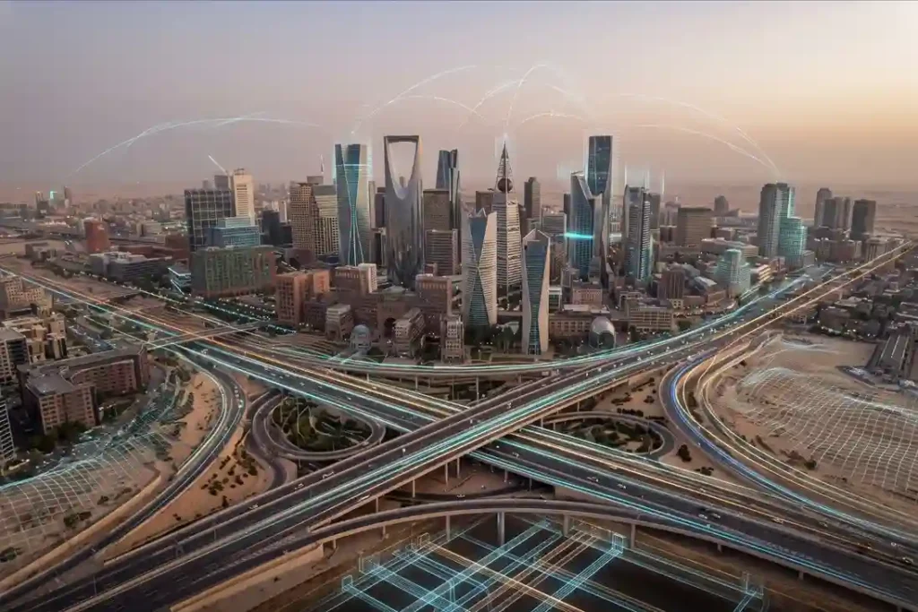
Royal commissions, municipal authorities, and giga-project developers manage vast, highly interconnected urban ecosystems. Historically, municipal asset records develop independently across departments, where surface transportation maps, building design drawings, underground utility schematics, and marine port surveys reside in separate databases. This structural disconnect creates operational blind spots, delays engineering reviews, and leads to costly project redesigns […]
 English