Pre-Construction Topographic Mapping for the Large-Scale Gas Expansion in Jafurah

A wide-angle aerial view of a massive desert land grading project in a hyper-arid environment, showing heavy earthmoving machinery leveling a vast sand dune field for energy infrastructure construction.

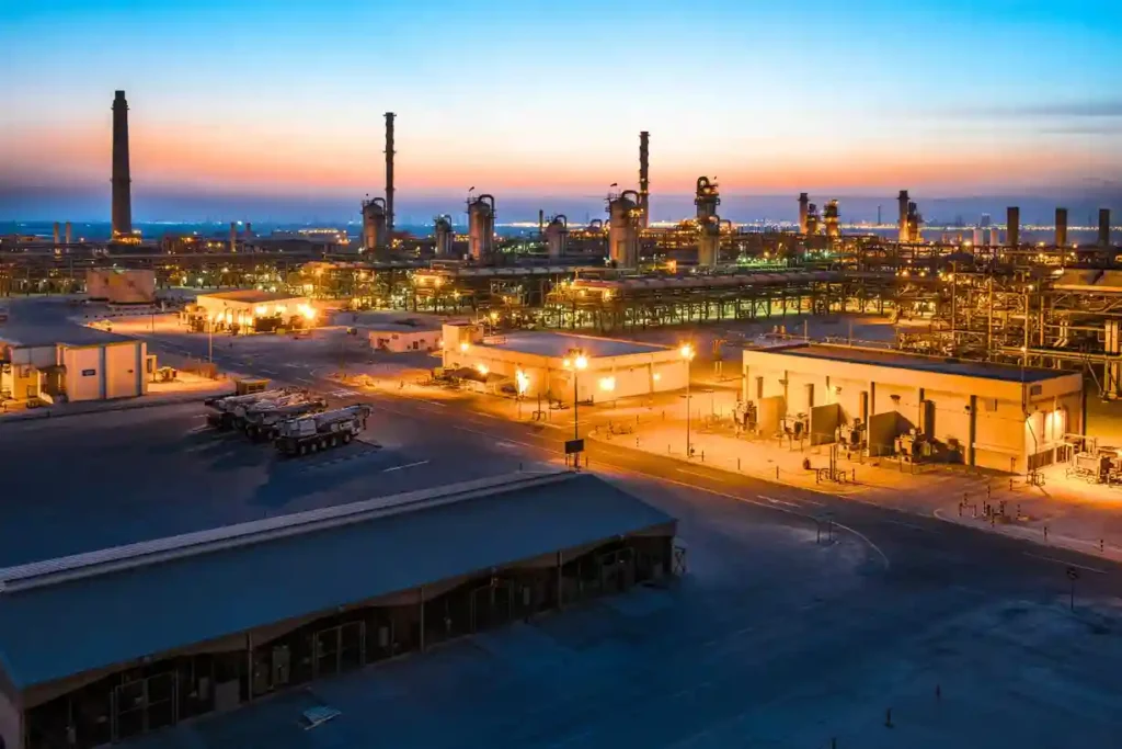
Expanding regional energy infrastructure across hyper-arid environments requires absolute geographic precision before a single asset is mobilized. As part of its long-term strategy to boost domestic energy production, Aramco is actively scaling up its country-wide gas network, recently finalizing a series of major expansion contracts totaling SAR 93.8 billion. A major pillar of this multi-tier […]

Aerial drone view of Riyadh skyline in Saudi Arabia

Get the Drone & Geospatial Brief, Saudi Arabia

Real project breakdowns, GACA regulatory updates, and field-tested case studies from oil and gas, mining, and infrastructure operations. Used by engineering and procurement teams at Saudi Arabia’s largest operators. 

Joined by 2K+ industry professionals in Saudi Arabia.