

How Geospatial Intelligence Powers Predictive Asset Management
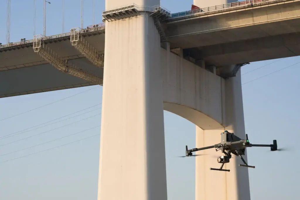
The Operational Imperative The moment infrastructure like highways, bridges, and industrial assets finish construction, they enter a critical new phase: operational risk. Managing maintenance is the single largest long-term cost, and reactive failure, waiting for a fault before fixing it is unacceptable for any modern smart city. The challenge lies in inspection. Traditional integrity checks […]
 English