Cutting The 80%: The Efficiency and Safety Gains in Land Surveying.

Drone Photogrammetry and LiDAR Integration for land surveying.

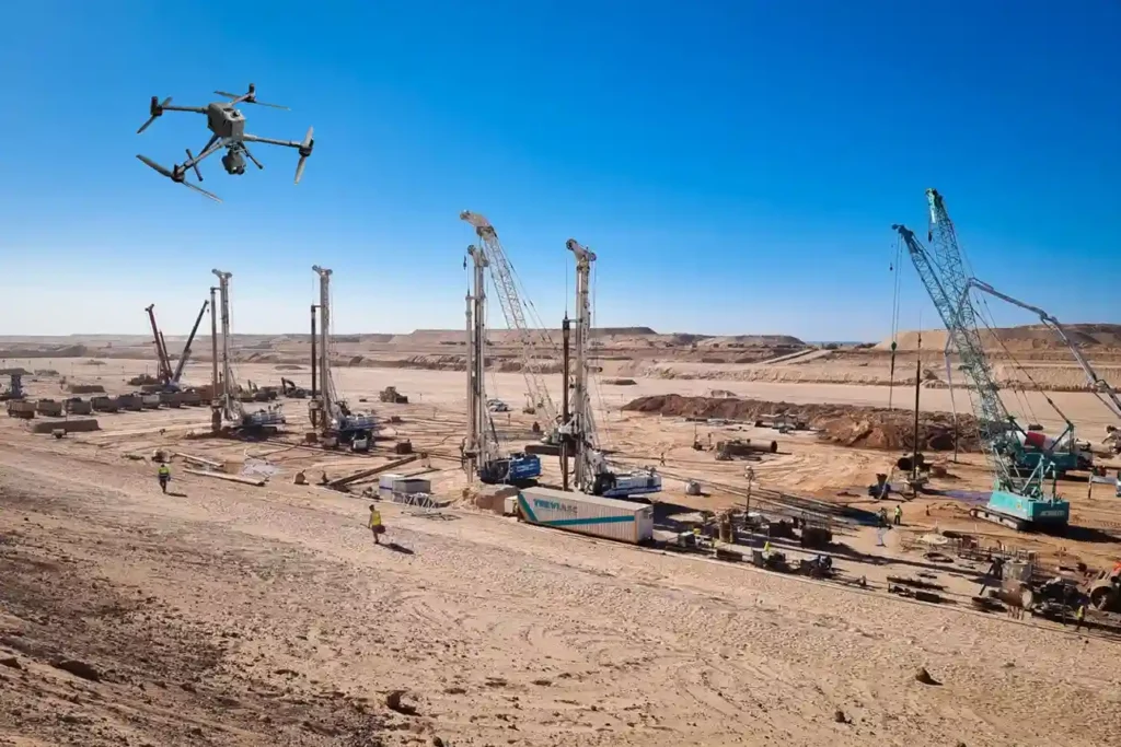
The foundational work of building Saudi Arabia’s next-generation cities from the coastal developments of Red Sea Global to the vast infrastructure of NEOM begins with a single critical step: land surveying. This core discipline, often taken for granted, is the very first factor dictating a project’s timeline and budget. Yet, the relentless pace and massive […]

Aerial drone view of Riyadh skyline in Saudi Arabia

Get the Drone & Geospatial Brief, Saudi Arabia

Real project breakdowns, GACA regulatory updates, and field-tested case studies from oil and gas, mining, and infrastructure operations. Used by engineering and procurement teams at Saudi Arabia’s largest operators. 

Joined by 2K+ industry professionals in Saudi Arabia.