Revolutionizing Land Surveying with Drone Photogrammetry and LiDAR Integration
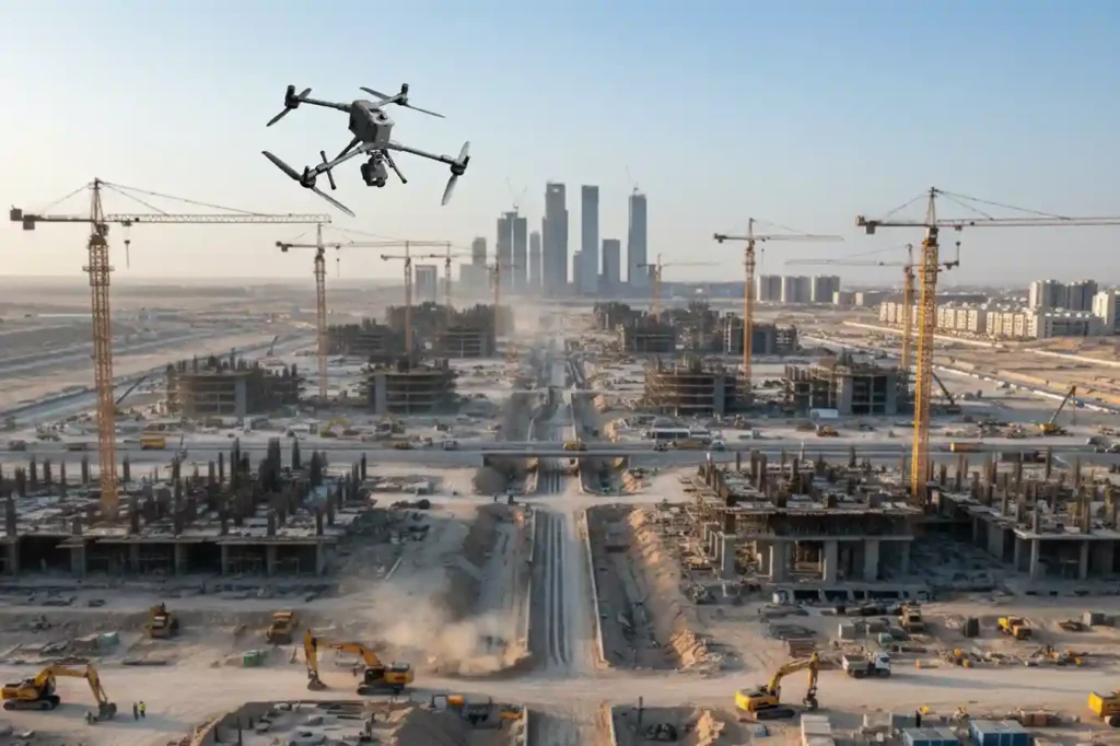
The foundational work of building Saudi Arabia’s next-generation cities from the coastal developments of Red Sea Global to the vast infrastructure of NEOM begins with a single critical step: land surveying. This core discipline, often taken for granted, is the very first factor dictating a project’s timeline and budget. Yet, the relentless pace and massive […]
From 6 Months to 3: The Reality Capture Revolution Driving Topographic Survey For Saudi Vision 2030
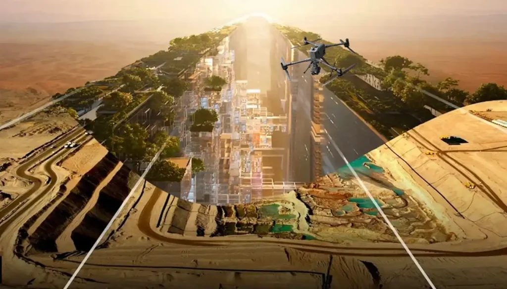
The scale and speed of construction across Saudi Arabia from NEOM to ROSHN are rewriting the global rules of project management. Under the demanding mandate of Vision 2030, a months-long delay in acquiring foundational data is no longer an option. Project timelines have compressed to the point where the traditional methods used for decades simply […]
