ثورة في مسح الأراضي باستخدام التصوير المساحي بالدرون والتكامل مع تقنية ليدار
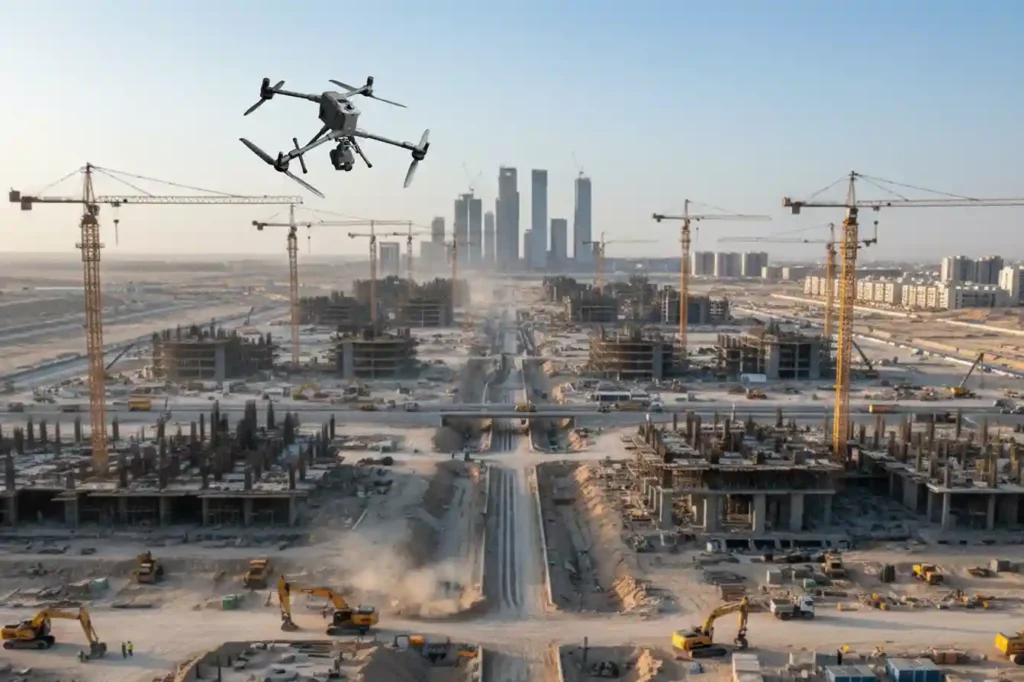
The foundational work of building Saudi Arabia’s next-generation cities from the coastal developments of Red Sea Global to the vast infrastructure of NEOM begins with a single critical step: land surveying. This core discipline, often taken for granted, is the very first factor dictating a project’s timeline and budget. Yet, the relentless pace and massive […]
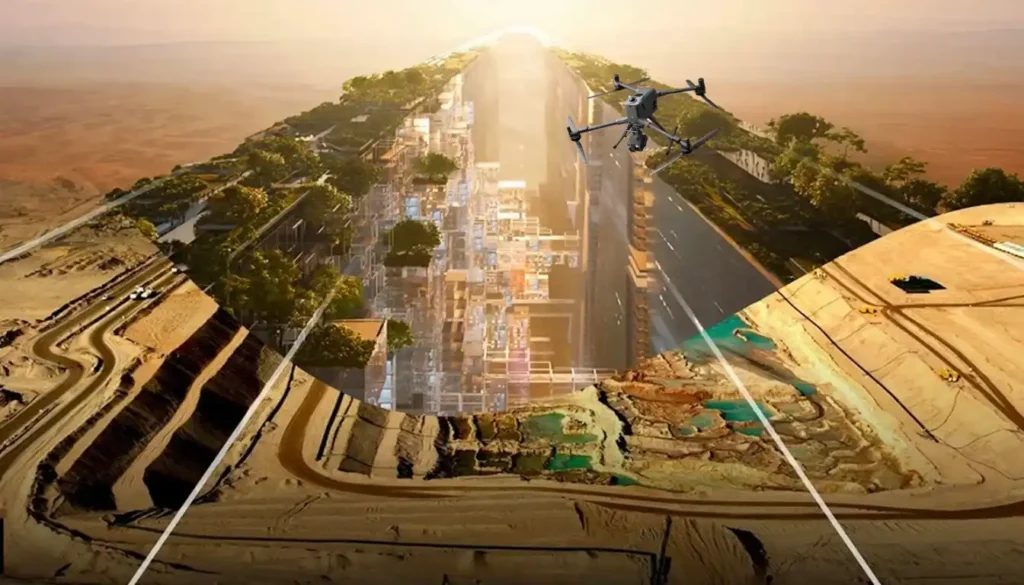
من 6 أشهر إلى 3: ثورة التقاط الواقع تدفع المسح الطبوغرافي لرؤية السعودية 2030
إن حجم وسرعة الإنشاءات في جميع أنحاء المملكة العربية السعودية، من نيوم إلى روشن، يعيدان كتابة القواعد العالمية لإدارة المشاريع. في ظل الولاية الحاسمة لرؤية 2030، لم يعد التأخير لأشهر في الحصول على البيانات الأساسية خيارًا. لقد تم ضغط الجداول الزمنية للمشاريع إلى الحد الذي أصبحت فيه الطرق التقليدية المستخدمة لعقود ببساطة [...]
