How Drone Topographic Mapping Captured 124 km² in 1 Month

Single stat card showing 124 square kilometers mapped in North Jeddah near the airport.

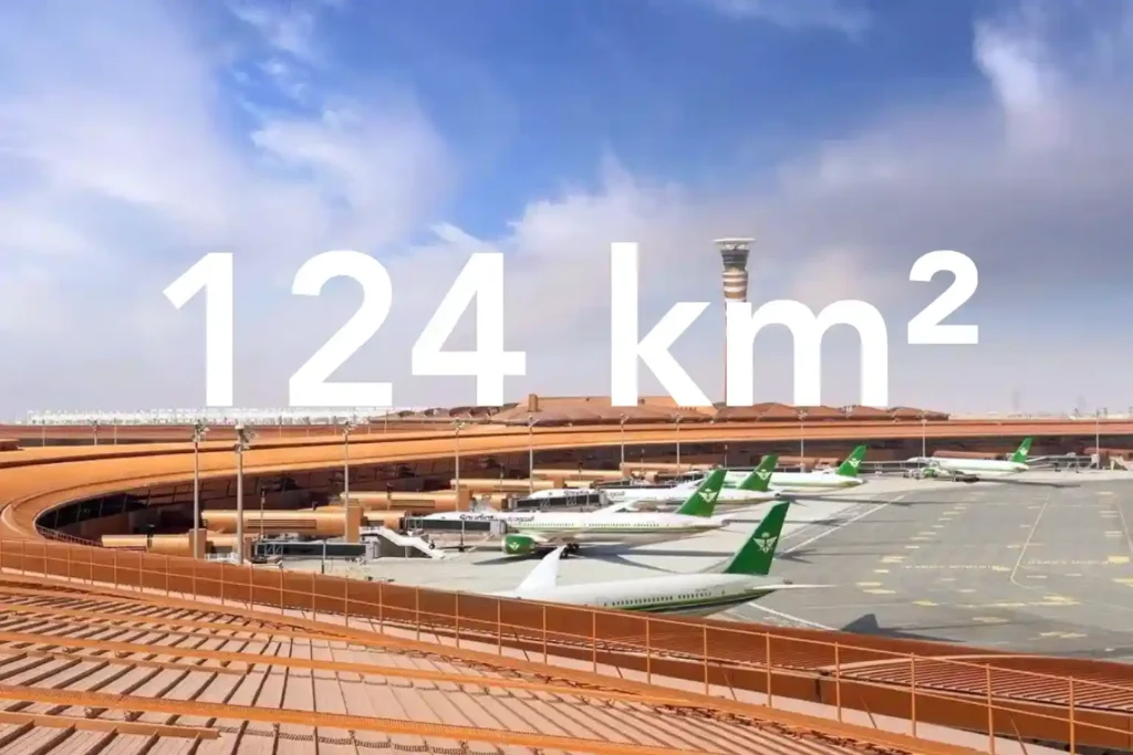
Every decision in a sewer upgrade or drainage expansion depends on the fidelity of the ground surface you hand to designers. In a dense urban corridor next to an international airport, conventional total station and GNSS traverses face line-of-sight gaps and obstruction bias that create uneven accuracy and patchy coverage. That risk is real in […]

Aerial drone view of Riyadh skyline in Saudi Arabia

Get the Drone & Geospatial Brief, Saudi Arabia

Real project breakdowns, GACA regulatory updates, and field-tested case studies from oil and gas, mining, and infrastructure operations. Used by engineering and procurement teams at Saudi Arabia’s largest operators. 

Joined by 2K+ industry professionals in Saudi Arabia.