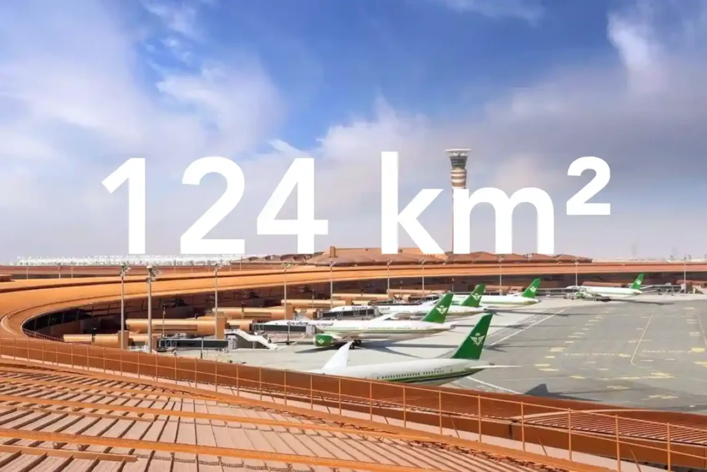
كيف قامت خرائط الطائرات بدون طيار الطبوغرافية بمسح 124 كم² في شهر واحد
يعتمد كل قرار في ترقية مجاري الصرف الصحي أو توسيع أنظمة الصرف على دقة سطح الأرض الذي تقدمه للمصممين. في ممر حضري كثيف بجوار مطار دولي، تواجه المسوحات التقليدية بواسطة المحطات الشاملة وأنظمة تحديد المواقع العالمية (GNSS) فجوات في خط الرؤية وتحيزًا بسبب العوائق مما يخلق عدم دقة وتغطية غير متساوية. هذا الخطر حقيقي في [...]
