Terra Drone Arabia Showcases Mobility-Focused Drone Solutions at Highways Saudi Arabia 2025

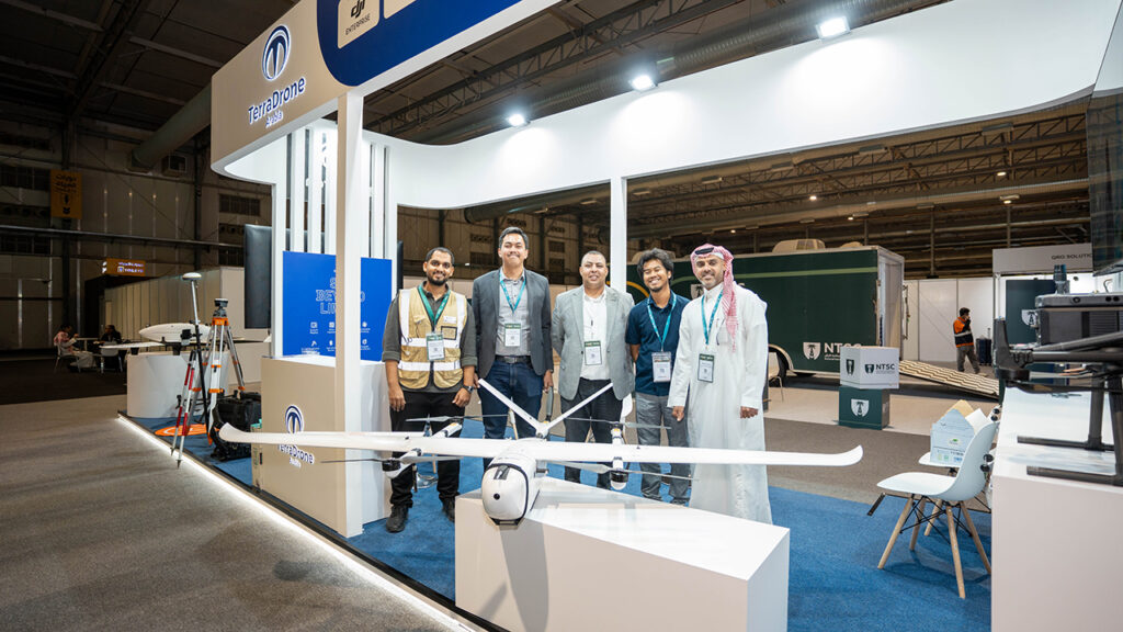
RIYADH, Saudi Arabia – October 20, 2025 – Terra Drone Arabia, a leading provider of drone and geospatial solutions in the Kingdom of Saudi Arabia, announced its participation as a Silver Sponsor at Highways Saudi Arabia 2025, held at Riyadh Front Exhibition & Conference Center. Organized by Terrapinn and supported by the Roads General Authority, the event brought together government agencies, infrastructure developers, and technology innovators to shape the future of mobility and transportation infrastructure across the Kingdom. The exhibition, which focuses on the long-term strategic vision of Saudi highway infrastructure stakeholders and their alignment with Vision 2030 goals, will take place from 19 – 20 October 2025 at the Riyadh Front Exhibition & Conference Center. As a leading drone and geospatial solution provider in the Middle East and Africa, Terra Drone Arabia’s participation underscores its unwavering commitment to accelerating digital transformation and sustainable mobility initiatives across the Kingdom. Terra Drone Arabia’s participation underscores its commitment to advancing Saudi Arabia’s smart mobility and infrastructure transformation, aligning with Vision 2030’s sustainable urban development goals. During the exhibition, Terra Drone Arabia demonstrated how drone-based systems can revolutionize the mobility ecosystem, particularly through applications in traffic surveillance, infrastructure inspection, and urban logistics. “Our participation marks our commitment towards sustainable mobility initiatives in the Kingdom by introducing drone solutions as one of the innovative tools in the mobility sector,” said Ryan Hadi, Country Manager of Terra Drone Arabia. “Not only can drones be used to collect critical data to help authorities make informed decisions, but they also form a key part of the larger initiative toward urban and advanced mobility in Saudi Arabia.” Elevating Infrastructure Management with Precision Drone Technology At Highways Saudi Arabia, Terra Drone Arabia presented a portfolio of mobility-related drone technologies designed to support road safety, traffic management, and infrastructure resilience: Drone Traffic Surveillance – enabling real-time monitoring of road networks, congestion, and incidents. Infrastructure Inspection – offering precise, non-intrusive inspection of bridges, tunnels, and road assets using LiDAR and high-resolution imaging. Drone Delivery and Logistics – advancing aerial transport for essential goods, medical supplies, and urban logistics corridors. These solutions demonstrate how unmanned aerial systems can enhance situational awareness, reduce inspection downtime, and improve decision-making for public authorities and private operators alike. Supporting the Kingdom’s Mobility Vision Highways Saudi Arabia serves as the region’s premier platform for transforming mobility, focusing on smart infrastructure, road safety, sustainability, and technology integration. Terra Drone Arabia’s participation reflects its broader role as a technology enabler in Saudi Arabia’s transition toward intelligent transportation and digital infrastructure management. — About Terra Drone Arabia: Terra Drone Arabia aims to be the premier provider of drone and geospatial solutions in the Middle East and Africa. With a mission to empower businesses through advanced technologies, Terra Drone Arabia offers a wide range of services, including land surveying, bathymetry, and data processing, among others. As part of Terra Drone Corporation, a globally recognized drone company, Terra Drone Arabia leverages its international presence and expertise to deliver comprehensive solutions across industries.
Drones as a Pillar of Vision 2030: Integrating National Strategy and Unmanned Aerial Systems

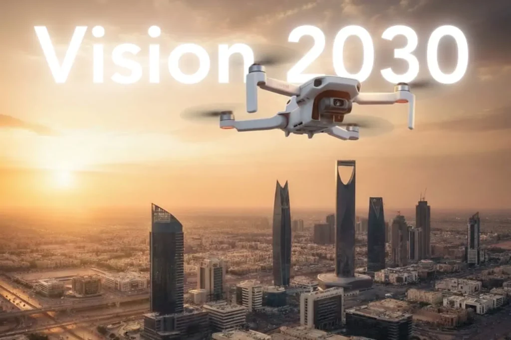
Saudi Arabia’s Vision 2030 is one of the most ambitious transformation programs in the world, aiming to diversify the economy, empower new industries, and deliver smarter, more sustainable cities. Achieving these goals requires advanced digital technologies, and drones are quickly proving themselves to be a pillar of this national strategy. Globally, drones have reshaped industries by cutting costs, reducing risks, and accelerating the delivery of projects. For the Kingdom, the potential is even greater. With its vast energy assets, ambitious smart city projects, and focus on sustainability, Saudi Arabia can lead the Middle East in drone adoption through forward-thinking regulation, public–private partnerships, and large-scale deployment across industries. Building Technical and Strategic Relevance Saudi Arabia’s Vision 2030 rests on three central pillars: creating vibrant societies, diversifying the economy, and building a sustainable future. Drones directly support these objectives by acting as scalable tools that capture, process, and deliver actionable data across the Kingdom’s critical industries. Vision 2030 Goals Supported by Drones Smart Cities Modern smart cities such as NEOM and The Line require live, accurate, and dynamic datasets to function. Drones generate digital twins of entire districts by combining LiDAR scans, RGB imagery, and multispectral data into GIS platforms. Urban mobility strategies also depend on drones for traffic analysis, congestion detection, and integration with UAV Traffic Management (UTM) systems, ensuring safe coexistence of drones and traditional air traffic. By automating city-wide monitoring, drones reduce the time to collect planning data from months to days, enabling urban developers to respond faster to growth challenges. Energy and Utilities Drones have already demonstrated their ability to transform inspections. For example, during a diesel tank inspection at an oil depot, drones reduced downtime from two weeks to just four hours, saving 13 days and 20 hours of lost operations. In utilities, drones inspect transmission lines and substations without cutting off power supply. Thermal cameras detect hotspots in transformers or insulators, while high-resolution zoom sensors identify cracks or corrosion before failure occurs. Compared to ground or rope-access inspections, drones deliver datasets that are both more comprehensive and safer, while reducing inspection costs by 50–70%. Agriculture and Food Security Saudi Arabia’s arid climate demands resource efficiency. Drones support precision agriculture by using multispectral cameras to detect crop stress, identify nutrient deficiencies, and guide irrigation schedules. Drones reduce manual labor costs by 30% and power consumption by 20% by optimizing input distribution and flight-based spraying. Yield prediction models improve accuracy when fed with drone-acquired NDVI (Normalized Difference Vegetation Index) data, allowing farmers to plan harvests and contribute to Vision 2030’s food security objectives. Environmental Sustainability Climate change and sustainability goals require persistent environmental monitoring. Drones equipped with methane detection sensors can detect and quantify leaks with high sensitivity. Frequent inspections reduce leak persistence and can cut emissions by 30% or more compared to traditional surveys. For air quality monitoring, drones fly pre-programmed routes equipped with 5 and PM10 sensors, providing real-time readings across industrial zones. In biodiversity management, thermal and multispectral cameras track wildlife movement, detect changes in vegetation cover, and monitor desertification patterns, helping the Kingdom align with its climate resilience strategies. Digital Infrastructure and Drone Integration The Kingdom’s future-ready economy requires robust digital infrastructure. Drones are not just tools for inspection; they are data-generation engines feeding national systems. GIS Databases: Drone imagery provides georeferenced data that feeds national geographic information systems, supporting planning, defense, and disaster response. LiDAR Mapping: High-density LiDAR scans build 3D terrain models accurate to a few centimeters, creating the foundation for digital twins and advanced civil engineering projects. Mobile Mapping: Drones extend mobile mapping into remote or hard-to-reach areas, where traditional survey vehicles cannot operate. Autonomy at Scale: With platforms like DJI Dock 3, drones operate autonomously, flying pre-programmed routes, charging automatically, and uploading data directly to the cloud. This ensures repeatable, standardized data collection that supports national-scale projects without requiring thousands of manual pilots. By integrating drones into digital infrastructure, Saudi Arabia positions itself to accelerate Vision 2030 goals across smart cities, energy diversification, agricultural sustainability, and climate action. Strategic Roadmap for Adoption For drones to become a true pillar of Saudi Arabia’s Vision 2030, adoption must move beyond isolated projects and pilot programs. It requires a strategic roadmap that ties national benefits to ecosystem development and regulatory modernization. National Benefits of Drones in Vision 2030 Operational Efficiency Across industries, drones have proven their ability to dramatically reduce inspection time and costs. In oil and gas, drones cut tank inspection time from two weeks to four hours, eliminating nearly 14 days of downtime. In agriculture, drone spraying reduces labor by 30% and lowers energy use by 20%, maximizing yields in arid regions. For utilities, drones reduce operational costs by 50–70% by eliminating the need for scaffolding, helicopters, or long shutdowns. Safety Enhancement Drones reduce the need for workers to scale flare stacks, powerlines, or telecom towers. By removing crews from these hazardous environments, accident risks drop by as much as 91%. This safety record strengthens compliance with workplace safety regulations while improving employee well-being. Data-Driven Governance High-resolution geospatial datasets from drones feed into GIS systems and digital twin models. This data enables ministries and municipalities to manage resources, monitor progress, and make evidence-based decisions. From monitoring Vision 2030 mega-projects like NEOM to tracking carbon emissions, drone data ensures progress is measurable and transparent. Multi-Stakeholder Ecosystem Development For drones to scale nationally, adoption must involve all stakeholders: Government Agencies: The General Authority of Civil Aviation (GACA) defines safe airspace rules for drone flights. Expanding frameworks for beyond-visual-line-of-sight (BVLOS) operations will be critical to unlocking logistics, transportation, and regional inspection projects. Industry Leaders: Oil and gas companies, utilities, and telecom operators are already deploying drones at scale. Sharing data and standardizing procedures will help expand adoption across sectors. Mega Projects: Initiatives like NEOM and The Line are testbeds for smart city drone integration, from urban mobility corridors to autonomous inspection systems. Academia and R&D: Universities and innovation centers can accelerate research into sensor technology, battery endurance, and autonomous navigation, ensuring Saudi Arabia