Drone Defense Overview: Exploring the Drone Detection Solution

The sky is becoming a busy place as commercial drones are now used for everything from delivery to photography. While most are harmless, the proliferation of these machines creates new risks for critical infrastructure like power plants and large public events. Traditional security cannot stop a threat that comes from above. This is why modern […]
How Drone Topographic Surveys Improve Power Transmission Project Timelines
Drone topographic surveys are transforming how we map and deliver power transmission projects. With growing energy demands and infrastructure targets tied to Saudi Arabia’s Vision 2030, utility providers and EPC contractors face intense pressure to optimize construction schedules and reduce planning delays. Traditional ground-based survey methods, while accurate, are often slow, labor-intensive, and prone to […]
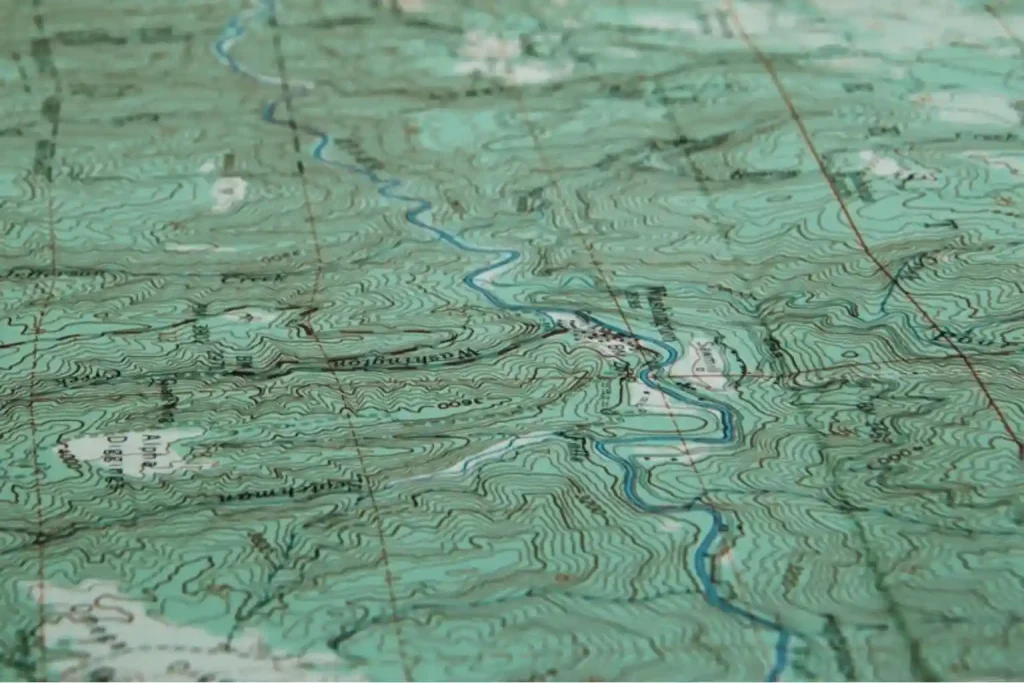
How Drones Reduce Mining Survey Time in A Day

Reduce mining survey time has become critical as exploration teams tackle vast, remote concessions under tight budgets and schedules. Traditional ground surveys require clearing corridors, placing GNSS markers, and drilling dozens of test bores—often taking weeks and costing tens of thousands per square kilometer. Take a look at our team in Indonesia, showcasing this transformation […]
AI in Mining: Is It Transforming How We Extract Resources?

AI in mining is revolutionizing the industry by enhancing exploration, improving operational efficiency, and supporting environmental sustainability. Traditionally, mining relied on manual processes and physical surveys that were costly, time-consuming, and prone to errors. Today, advanced technologies such as artificial intelligence (AI) and satellite imagery are reshaping how companies explore resources, monitor operations, and manage […]
Drones for Stockpile Calculation in Coal Mining
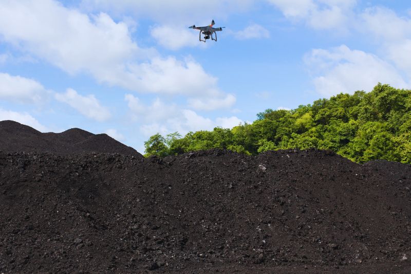
The Future of Coal Mining: Drones for Stockpile Calculation In an industry where precision is paramount, drones are revolutionizing how stockpile calculation is done in coal mining. By employing UAV for stockpile calculation, mining operations are experiencing unparalleled efficiency, accuracy, and safety. A Paradigm Shift: Why Use Drones for Stockpile Calculation? Using this technology to […]
