The Operational Imperative
The moment infrastructure like highways, bridges, and industrial assets finish construction, they enter a critical new phase: operational risk. Managing maintenance is the single largest long-term cost, and reactive failure, waiting for a fault before fixing it is unacceptable for any modern smart city.
The challenge lies in inspection. Traditional integrity checks are slow, subjective, and inherently dangerous. They require costly actions like building scaffolding or closing traffic lanes. This process delivers low-volume, outdated data, locking asset managers into a dangerous cycle of reactive failure.
The only effective solution is the digital twin, a virtual replica built on persistent, high-quality data. This digital twin, fueled by geospatial intelligence for smart city data, enables the fundamental shift to safe, objective, and predictive maintenance.
The Data Foundation for Asset Integrity
The operational success of a highway or an industrial plant starts with the quality of its initial survey data. This information creates the digital foundation for the entire asset lifecycle.
I. Establishing the Digital Baseline for RUL Calculation
All reliable long-term maintenance must start with a perfect measurement of the asset’s original, healthy state.
A. The Geospatial Baseline
The initial centimeter-accurate survey data collected using drone-based LiDAR and Photogrammetry creates the indispensable structural health baseline. This initial data is the only reference point against which all future material wear, structural cracks, and component degradation are measured. Without this accurate baseline, calculating deterioration is impossible.
B. Data Chronology for RUL
The ultimate goal of asset management is accurately forecasting failure. This is done through remaining useful life (RUL) calculation.
- RUL Definition: The RUL predicts how much longer an asset can operate safely before maintenance or replacement is necessary.
- Data Necessity: Accurately calculating RUL requires a consistent, chronological data feed. Drone technology provides this through repeatable missions (weekly or monthly flights) that document changes over time.
- Cost Benefit: Using this predictive data allows companies to shift maintenance spending from sudden, expensive emergencies to planned, controlled projects, maximizing the useful life of the asset.
Advanced Integrity Checks and Simulation
The Digital Twin’s predictive power is unlocked by combining the initial baseline data with continuous, non-contact integrity checks.
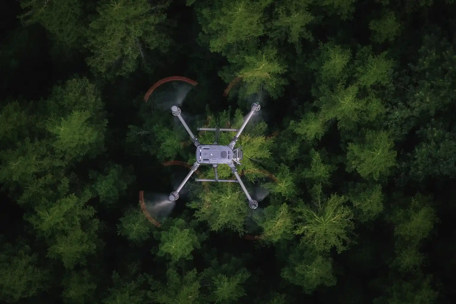
II. Non-Contact Integrity and Defect Detection
Drones perform essential, high-risk inspections without ever endangering human personnel or halting operations.
A. Structural Health Monitoring
- Bridge Scanning: Drones fly precise, automated flight paths beneath complex highway structures and bridges. This non-contact method eliminates the cost of scaffolding and the risk of lane closures.
- Visual Data: High-resolution cameras scan for tiny surface defects like concrete cracks, spalling, and corrosion. Drone inspections can reduce asset inspection times by 4 times compared to manual methods, allowing for more frequent and proactive maintenance checks.
- Pavement Analysis: High-resolution drone cameras collect data used to map and classify pavement damage, such as cracking and rutting. This detailed information helps transportation agencies prioritize road repairs effectively.
B. Specialized Non-Destructive Testing (NDT)
Advanced payloads allow for structural health checks beyond simple visual inspection.
- Thermal Imaging: Thermal cameras detect temperature variations on surfaces like pavements or bridge decks. These temperature differences often reveal subsurface issues like water intrusion, poor drainage, or voids beneath the roadbed that human eyes cannot see. Early thermal mapping prevents minor moisture issues from growing into major structural failures.
- Confined Space Safety: Using small, specialized drones, we inspect hazardous and enclosed assets like boilers, storage tank interiors, and industrial vessels. This capability eliminates human risk and minimizes costly operational shutdown time.
- Drone UT: Drones equipped with ultrasonic thickness (UT) probes perform non-contact measurement of material thinning and corrosion in assets like storage tanks and pipe. This provides critical input for the predictive maintenance model.
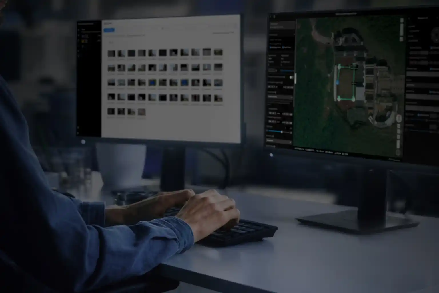
C. Predictive Simulation (The Digital Twin at Work)
The Digital Twin consumes all this recurring inspection data (baseline + defects) to run simulations.
- Forecasting Failure: The twin runs predictive models that forecast when a structural element will reach its critical threshold (RUL). This allows asset managers to schedule repairs precisely, maximizing the useful life of the asset while minimizing costly downtime.
- Centralized Management: This platform ensures that all parts of the future smart city operate cohesively and efficiently, confirming that the foundation of the system is robust, up-to-date Geospatial Intelligence for Smart City data.
Secure Your Operational Future
The digital transformation of asset management moves highway and infrastructure care from reactive to predictive, objective, and safe. The use of continuous geospatial intelligence for smart city platforms ensures that infrastructure remains durable, efficient, and compliant with long-term goals.
Terra Drone Arabia is your certified local partner. We possess the needed technical capacity and local compliance knowledge to deliver comprehensive geospatial data for every inspection mission.
Accelerate your shift to predictive asset management and experience these efficiency gains with FREE 3-month progress monitoring on a key bridge or highway section. Let’s talk to your future-proof critical transportation network.