
With rapid advancements in technology, drones are no longer just flying devices; they’re smart machines that can carry out complex tasks. One such advancement is drone LiDAR. This technology has transformed drones into powerful tools capable of providing unprecedented insights, especially in surveying and mapping. But what is drone equipped with LiDAR, and how does it work?
What is LiDAR?
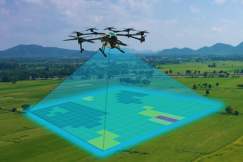
LiDAR, or Light Detection and Ranging, is a remote sensing method that uses light in the form of a pulsed laser to measure variable distances to the Earth. When mounted on drones, this technology allows for rapid data collection over large areas with exceptional accuracy, making LiDAR equipped in a drone to be a go-to solution for many industries.
Also Read:
Taking Flight: Unraveling the Drone Market Size and Its Potential
How Does It Work?
LiDAR equipped to a drone operates by emitting pulses of laser light towards the ground from a device mounted on a drone. The time it takes for each pulse to bounce back is recorded and used to calculate distance, creating a detailed, three-dimensional representation of the area below.
Read More:
LiDAR in Drone Survey
Where is it Used?
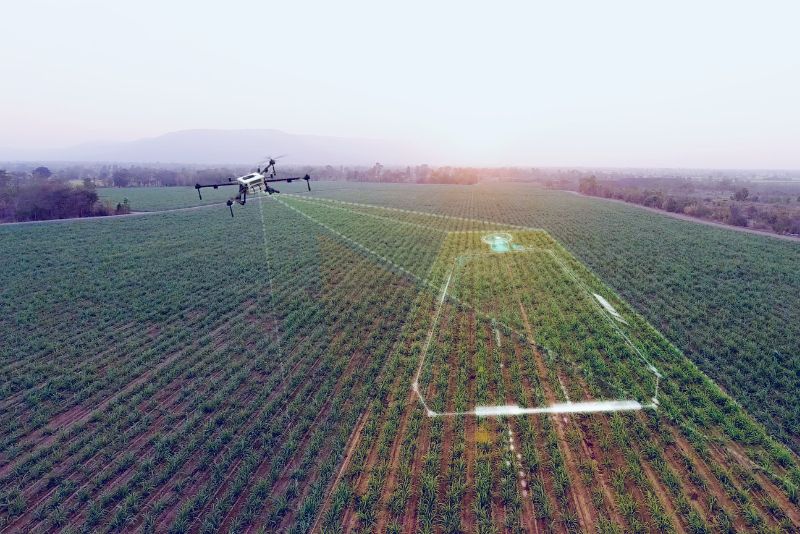
Drone with LiDAR has found use in a myriad of industries. In agriculture, it aids in crop management and soil analysis. In construction and engineering, it’s used for surveying and planning. Even archeologists use it to unearth hidden historical sites, showcasing the technology’s diverse applications.
Also See:
Yield from Above: The Role of Drone in Agriculture Practices
The future of this system is expansive, with potential applications in climate change studies, disaster management, and urban planning. As the technology continues to evolve, it promises to open up even more possibilities.
Read More:
Multispectral and LiDAR drones deployed to protect the Monarch Butterfly
In conclusion, drone equipped with a LiDAR is not just an advanced technology; it’s a groundbreaking tool that’s shaping how we perceive and interact with the world. With its ability to capture high-resolution, three-dimensional data, it is poised to be a game-changer in numerous sectors.

