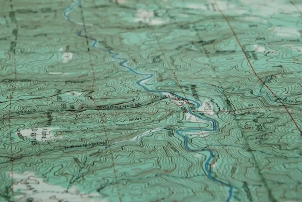
How Drones Cut 8 hours to 30 Minutes in Topographic Survey

Drone Topographic Mapping is rapidly redefining how utility providers and EPC firms approach transmission line surveys. In a region where megaproject timelines are non-negotiable, particularly in Saudi Arabia and across the MENA region, traditional methods simply can’t keep pace with modern demands. 1. Why Timelines Matter in Power Transmission Projects In Saudi Arabia’s ambitious energy […]
How Drone Topographic Surveys Improve Power Transmission Project Timelines
Drone topographic surveys are transforming how we map and deliver power transmission projects. With growing energy demands and infrastructure targets tied to Saudi Arabia’s Vision 2030, utility providers and EPC contractors face intense pressure to optimize construction schedules and reduce planning delays. Traditional ground-based survey methods, while accurate, are often slow, labor-intensive, and prone to […]
Why 16.5% Market Growth in MEA Demands Smarter Drone Ground Support Now

The commercial drone market in the Middle East & Africa (MEA) is entering a phase of rapid expansion valued at $1.60 billion in 2023 and projected to nearly triple to $4.65 billion by 2030, growing at a CAGR of 16.5% from 2024 onward. This surge reflects increasing reliance on drone technology across industries such as […]
Retail Drone Delivery: Solving Last-Mile Logistics

Retail drone delivery operations are transforming the last mile of the supply chain—a stage traditionally known for being the most expensive and inefficient. As e-commerce continues to expand, retailers face growing pressure to deliver goods faster while keeping costs low. Conventional delivery methods struggle to meet this demand due to road congestion, fuel costs, and […]
Terra Drone Arabia and FAHSS Announce Strategic Partnership to Revolutionize Industrial Inspection in Saudi Arabia

RIYADH, Saudi Arabia – April 10, 2025 – Terra Drone Arabia, a leading provider of drone-based inspection solutions, and National Inspection & Technical Testing Company (FAHSS), a member of TÜV NORD Group, announced the signing of a Memorandum of Understanding (MOU) to collaborate on integrating advanced drone technologies into industrial inspection and certification offerings across […]
How Drone Delivery in Retail Doesn’t Only Ship Your Shopping

Drone delivery in retail is no longer a futuristic concept; it’s happening right now. As customer expectations shift toward faster, same-day fulfillment, retailers are turning to UAV technology to close the gap between warehouses and front doors. The last mile, historically the slowest and most expensive part of the delivery chain, is being reimagined through […]
Drone Applications for Environmental: From Desertification to Disaster Response

Drone applications for environmental management are rapidly redefining how industries, governments, and conservation groups address pressing ecological challenges. As Saudi Arabia and the broader MENA region face accelerating climate risks from desertification to greenhouse gas emissions, there’s a critical need for scalable, technology-driven solutions. Drones now serve as force multipliers in this mission, combining aerial […]
Drone Applications for Environmental Challenges

Drone applications for environmental challenges have never been more critical. As climate change accelerates desertification in the Arabian Peninsula and industrial emissions threaten air and water quality, the oil & gas sector faces mounting pressure to adopt innovative solutions. Drones now offer precision, efficiency, and safety—collecting multispectral imagery, deploying seed pellets, and detecting greenhouse gas […]
Scaling Your Drone Fleet: Four Pillars for Pilots

Infrastructure managers often start small. One-off flights to inspect a bridge or survey an oil pipeline. Yet, when the time comes to expand, they encounter fragmented procedures, regulatory hurdles, and interoperability gaps. Scaling drone fleet capabilities provides the answer: a repeatable, secure, and high-impact program that spans dozens of assets without sacrificing quality or compliance. […]
How Drones Reduce Mining Survey Time in A Day

Reduce mining survey time has become critical as exploration teams tackle vast, remote concessions under tight budgets and schedules. Traditional ground surveys require clearing corridors, placing GNSS markers, and drilling dozens of test bores—often taking weeks and costing tens of thousands per square kilometer. Take a look at our team in Indonesia, showcasing this transformation […]
