GACA Drone Regulations: The 2026 Permit Guide
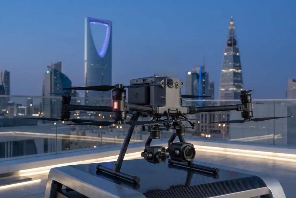
In 2026, Saudi Arabia’s drone industry is a core part of the Kingdom’s digital transformation and Vision 2030 goals. Operating a drone professionally requires more than just a controller; it requires a multi-step legal framework. Following GACA regulations ensures that your business objectives are recognized as part of a safe and integrated airspace. This guide […]
How Virtual Models Prevent Costly Building Mistakes Before It’s Built
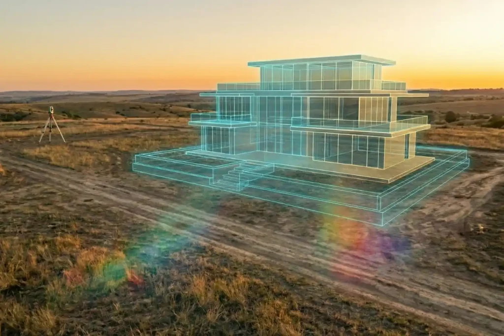
Urban planning is, without a doubt, a beautiful prospect. There is a certain magic in envisioning a skyline defined by luxurious, modern architecture and vibrant communal spaces. But as any developer knows, bringing those sleek glass-and-steel visions to life is where the true challenge begins. Planning a development isn’t as simple as placing pawns on […]
Safe Site Measurement: Visual RTK GNSS Measurement for Elevation Models and Surface Mapping

In the high-stakes environments of 2026, topographic surveying has evolved. We have moved past simple coordinates and into the realm of complex Digital Elevation Models (DEM) and Digital Surface Models (DSM). However, a persistent challenge remains: the vertical barrier. Whether it is an unstable pit wall in a quarry or a jagged stockpile in a […]
How the FJD Trion V10i Redefines Centimeter Precision

In 2026, the margin for error in industrial surveying has effectively vanished. As we move toward a world of autonomous site governance and high-fidelity digital twins, the 1–2 centimeter accuracy range has transitioned from a specialized requirement to the baseline standard for every project. However, achieving this level of precision is rarely a “plug-and-play” affair. […]
FJD Trion Series: The GNSS Ecosystem for Every Operational Frontier

In 2026, centimeter-level accuracy is no longer a luxury, it is the prerequisite for the modern industrial site. Whether automating a tractor for row-crop optimization, guiding an excavator on a complex construction project, or deploying autonomous robotic mowers, high-precision geospatial data serves as the invisible backbone of efficiency. However, the modern operational environment is multi-faceted. […]
Cloud-First Mapping: Accelerating Construction Timelines with ArcGIS Online and ArcGIS Enterprise
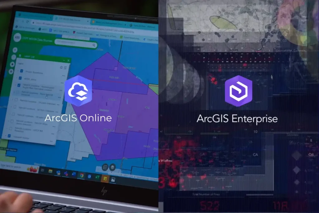
Every drone mission, whether it is an inspection of a solar farm in NEOM or a volumetric survey in the Empty Quarter ends with a massive influx of data. Thousands of images, high-density point clouds, and thermal layers require a “home.” Without a robust platform to organize and visualize this information, your drone program is […]
Integrating Real-Time Data Acquisition and GIS Processing in Industrial Intelligence

In the traditional era of drone mapping, the capture of aerial imagery was only half the battle. For years, the bottleneck was the processing, loading thousands of high-resolution images onto local workstations that would churn for days to produce a single orthomosaic. This fragmented approach led to data silos, inconsistent results, and a lack of […]
Engineering the “Eyes” of Autonomous Flight with Digital Twin & Synthetic Vision

The Pilotless Revolution The future of urban transportation is not just in the air; it is autonomous. To realize the full potential of Advanced Air Mobility (AAM), air taxis must transition from human-piloted craft to fully autonomous systems capable of scaling across busy metropolitan centers. However, this transition faces a massive technical hurdle: the “urban […]
Navigating the Future Air Transportation with Aerial Corridor Mapping

For decades, we have looked at the sky above our cities as an open, unstructured void. While our roads became congested and our ground-level infrastructure reached its physical limits, the airspace remained the “final frontier” for urban transport. However, as we move through 2026, that void is being filled. A quiet revolution is occurring just […]
Milestones to Watch in 2026 as Saudi Arabia Advances Vision 2030
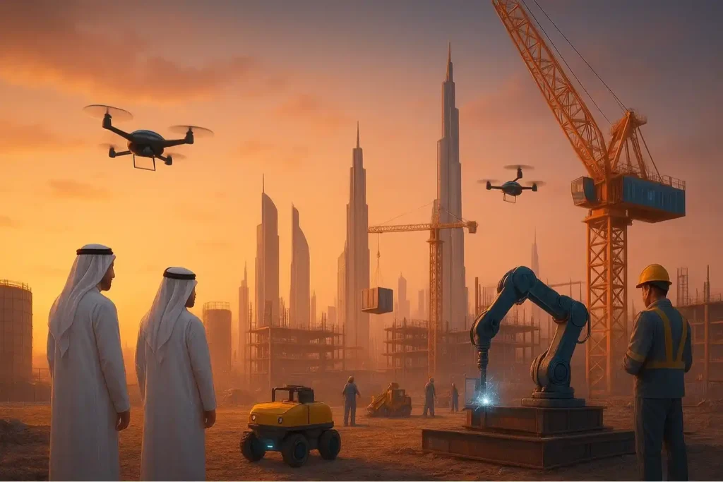
The Year of Realization For the past seven years, the world has watched Saudi Arabia move earth and sand on a scale never seen before. We have witnessed the largest construction sites in history, from the mountains of Trojena to the coasts of the Red Sea. But as we approach 2026, the narrative is changing. […]