
Minimizing Maintenance Downtime: Drone Inspection for Energy Hubs
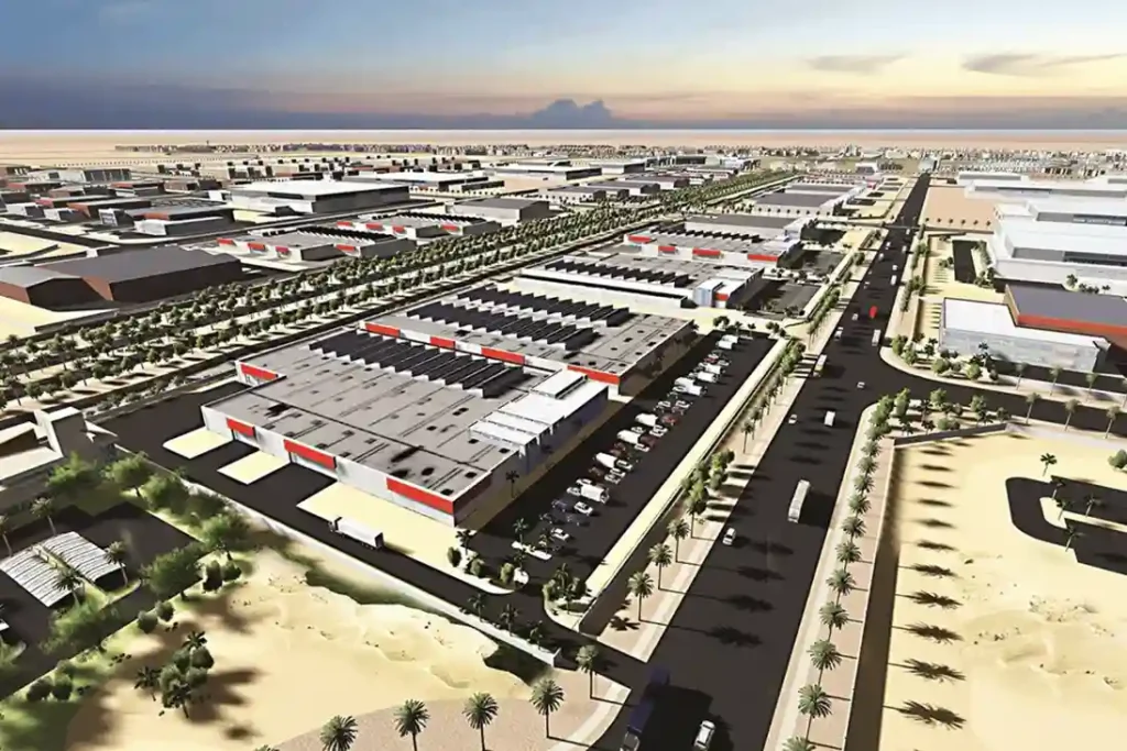
The Problem of Maintenance Shutdown Modern industrial energy hubs, like the King Salman Energy Park (SPARK) which spans a 50 square kilometers master-planned zone, face major challenges checking massive infrastructure networks without halting workflows. Traditional asset tracking relies on manual walkthroughs and emergency fixes, which introduce severe financial losses and direct operational bottlenecks. Within the […]
Cliffside Risk and Moving Components Mapping at the New Qiddiya Stadium
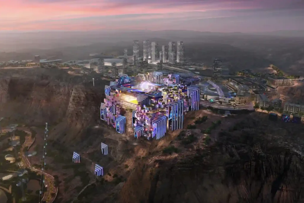
The construction of the Prince Mohammed bin Salman Stadium represents a significant architectural shift in global sports infrastructure. It stands as a crown jewel of the Qiddiya gigaproject, built directly atop a breathtaking, vertical 200-meter-high Tuwaiq cliff edge that overlooks the Qiddiya entertainment district. Designed to serve as a premier venue for the 2027 AFC […]
King Fahd Stadium: How Drone Secures the 2027 Asian Cup Venue
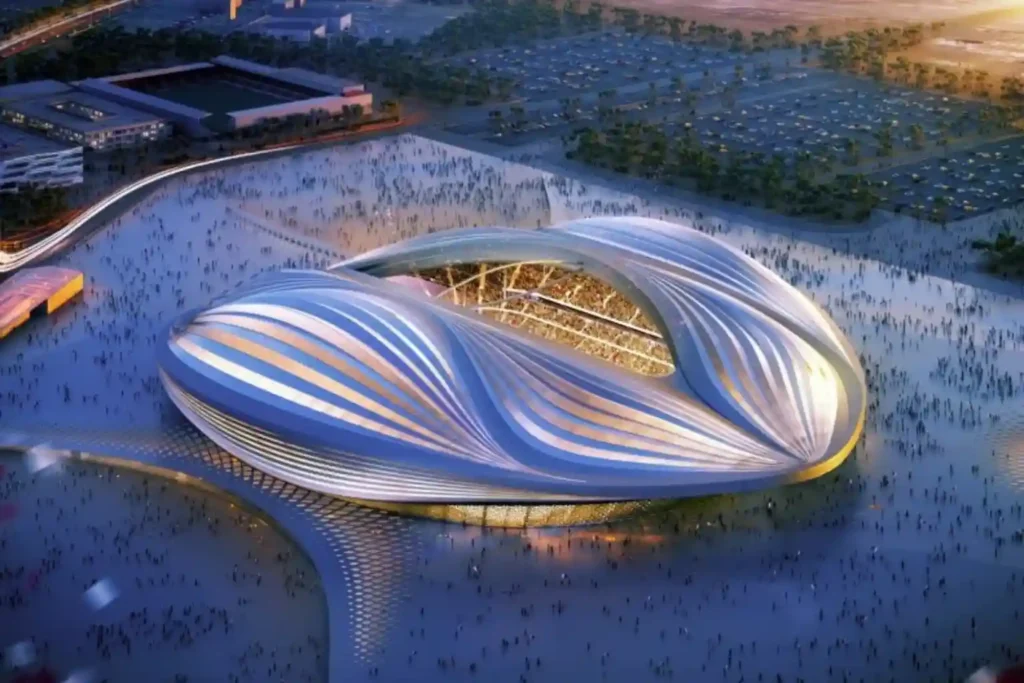
As Saudi Arabia approaches the 2027 AFC Asian Cup, the expansion of King Fahd Sports City Stadium stands as the primary infrastructure priority. Chosen to host the tournament’s opening and closing ceremonies, the venue requires a complete engineering overhaul to meet international standards. This massive civil construction project involves complex structural modifications. The expansion will […]
Diriyah 2032 Rail: Weekly Digital Twin Audits for RCRC Transit Infrastructure
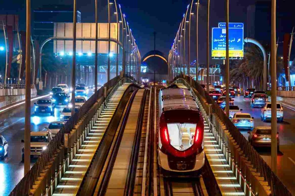
The Royal Commission for Riyadh City (RCRC) is actively extending the Riyadh Metro Red Line by 8.4 kilometers, driving the transit network directly into the Diriyah Gate development project. This mass infrastructure expansion introduces a significant civil engineering challenge, requiring 7.1 kilometers of deep underground tunneling alongside 1.3 kilometers of elevated viaduct tracks. The expansion […]
Construction Tracking and 3D Digital Twin for Saudi Arabia’s Superblock
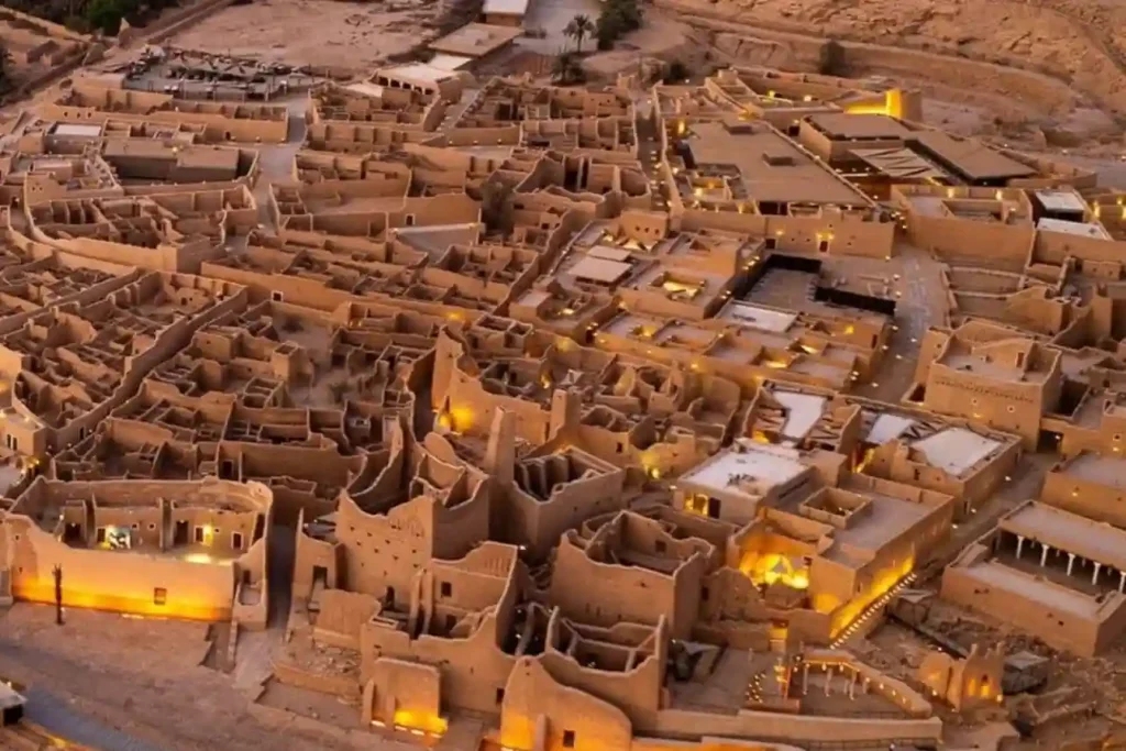
The SAR 2.7 Billion Diriyah Megaproject The Diriyah Company’s recent award of a SAR 2.7 billion contract to the joint venture of Hassan Allam Construction Saudi and UCC Saudi marks the official construction launch of the Waldorf Astoria superblock. This high-profile mixed-use development features a 200-key luxury hotel, 47 branded residences, commercial facilities, and modern […]
The Development of Laheq Island: Tracking Modular Construction Progress on Remote Island
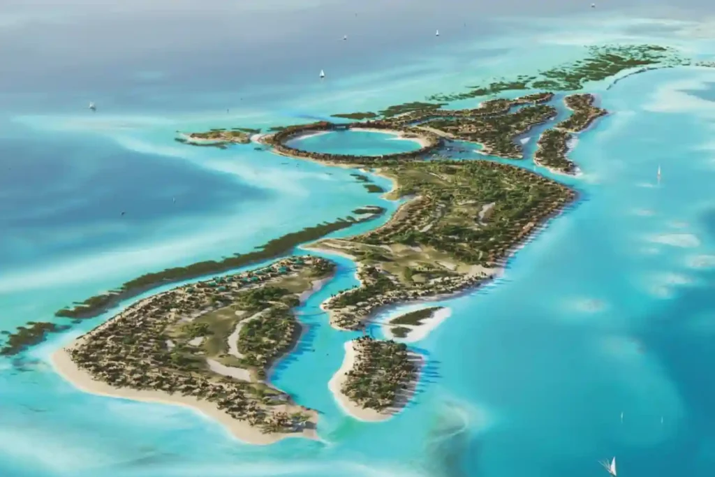
The international construction sector loses an estimated over SAR 6 trillion annually due to low efficiency and structural execution delays, with global sector productivity expanding at a low rate of just 0.4% per year. Remote, high-profile megaprojects have zero tolerance for these timeline extensions. A prime example is the 400-hectare luxury development on Laheq Island, […]
BIM Integration in Qiddiya City’s Future Sports Medical Centre
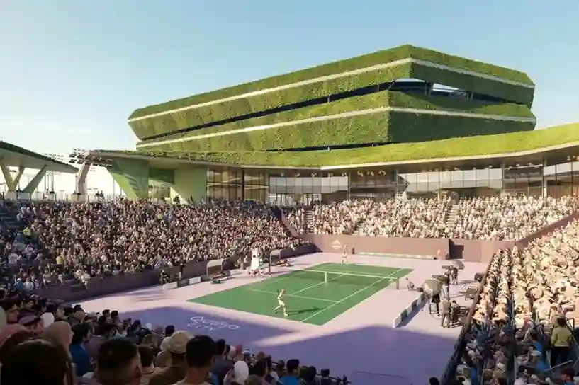
Establishing complex healthcare facilities in hyper-arid desert landscapes requires an extreme level of spatial precision before any ground is broken. In April 2026, the official agreement between Qiddiya Investment Company (QIC) and King Faisal Specialist Hospital & Research Centre (KFSH&RC) was finalized to establish a new specialized sports medical center. Developing a world-class clinical facility […]
رسم خرائط الموائل لهجرة الطيور: حماية المحطات الآمنة
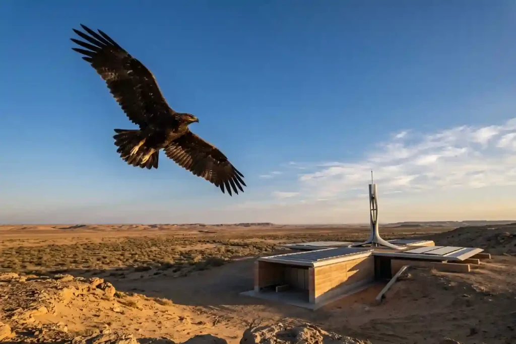
كل عام، تعبر ملايين الطيور القارات بحثًا عن طقس وغذاء أفضل. اعتبارًا من مايو 2026، تظل المملكة العربية السعودية ملاذًا آمنًا حيويًا على مسار هجرة أفريقيا وأوراسيا، حيث تعمل كمحطة راحة لهذه الطيور المهاجرة. تستضيف المملكة أكثر من 500 نوع من الطيور، ويشمل ذلك 14 من أصل 15 نوعًا التي […]
شاهد-136: حماية فعالة من حيث التكلفة للمواقع الاستراتيجية
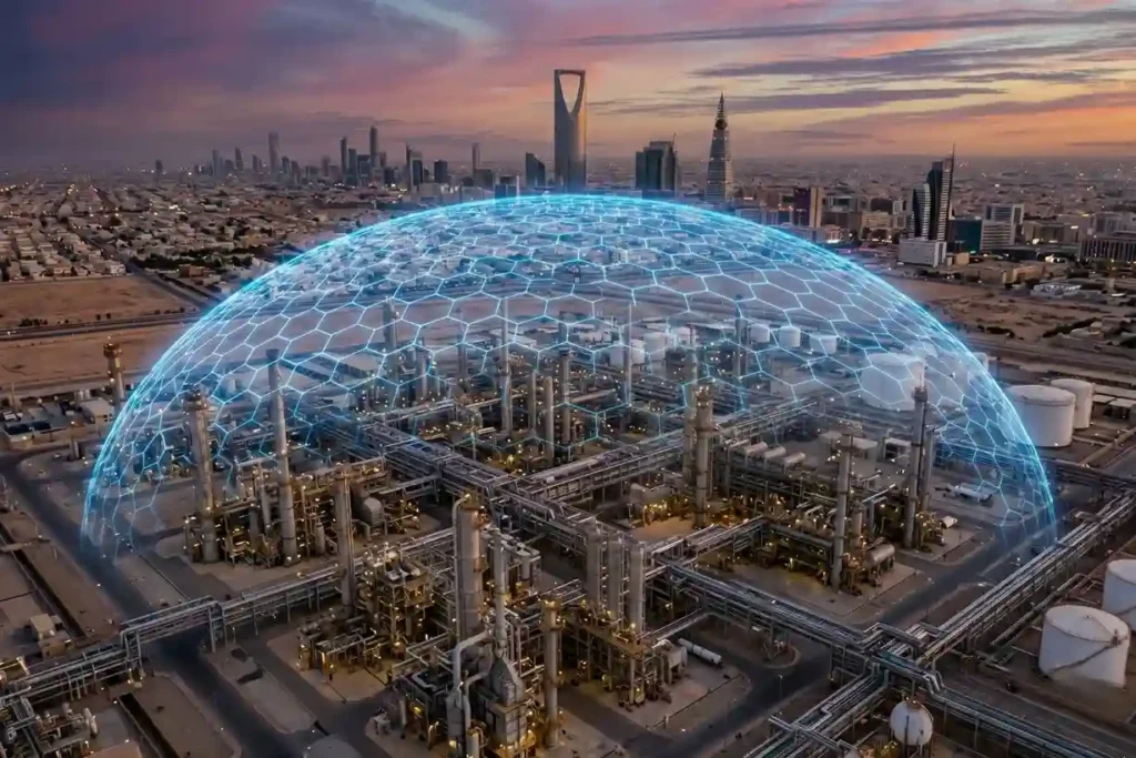
يشهد ميدان المعركة الحديث تحولًا سريعًا ودائمًا. لقد انتقلت طائرة شاهد 136 من أداة تجريبية متخصصة إلى ما يسميه الخبراء “سلاحًا موثوقًا به” للحرب غير المتكافئة. تم تصميم هذه الذخائر المتسكعة بطيئة الحركة لغرض واحد: ضرب عميق في أراضي العدو بدقة عالية. لقد قامت بتحريك خطوط المواجهة بعيدًا [...]
لماذا الطائرات بدون طيار أسرع في رسم الخرائط للمواقع الكبيرة من الطرق التقليدية
لقد كان رسم خرائط للمناطق الشاسعة والوعرة مثل تلك الموجودة في مكة تقليديًا عملية بطيئة وتتطلب الكثير من العمل. عند التعامل مع عدة كيلومترات مربعة من التضاريس غير المستوية، غالبًا ما تقضي فرق العمل على الأرض في المشي في الموقع لأسابيع أو حتى أشهر لجمع نقاط بيانات كافية. في المشروع الأخير الذي جرى في مكة، كان الهدف […]
 English
  العربية