Cutting The 80%: The Efficiency and Safety Gains in Land Surveying.
The foundational work of building Saudi Arabia’s next-generation cities from the coastal developments of Red Sea Global to the vast infrastructure of NEOM begins with a single critical step: land surveying. This core discipline, often taken for granted, is the very first factor dictating a project’s timeline and budget. Yet, the relentless pace and massive […]
Revolutionizing Land Surveying with Drone Photogrammetry and LiDAR Integration
The foundational work of building Saudi Arabia’s next-generation cities from the coastal developments of Red Sea Global to the vast infrastructure of NEOM begins with a single critical step: land surveying. This core discipline, often taken for granted, is the very first factor dictating a project’s timeline and budget. Yet, the relentless pace and massive […]
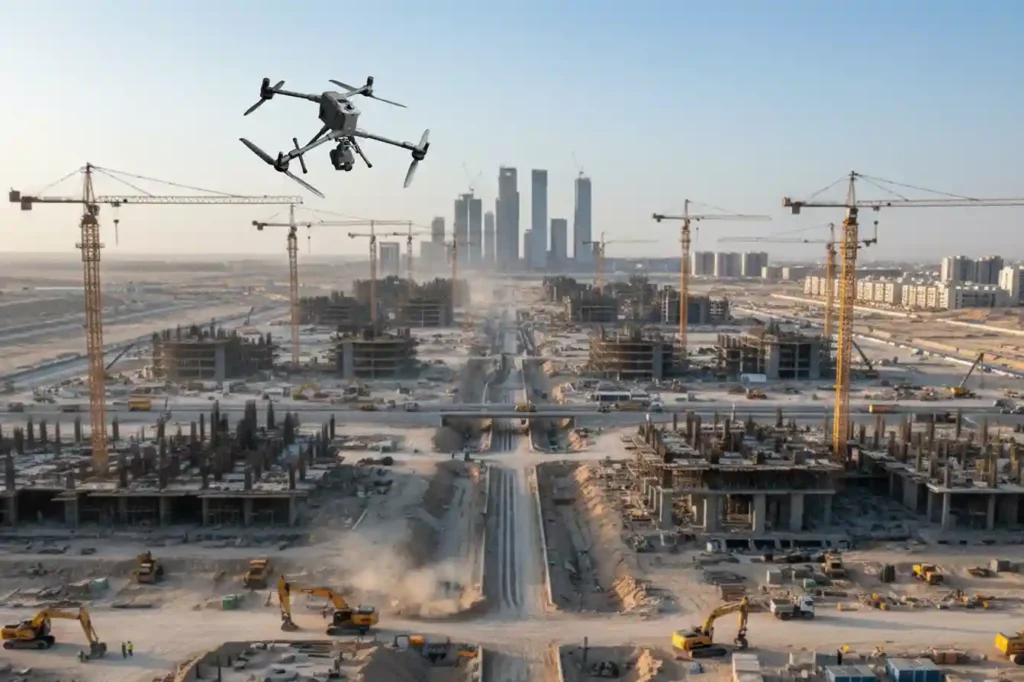
From 6 Months to 3: The Reality Capture Revolution Driving Topographic Survey For Saudi Vision 2030
The scale and speed of construction across Saudi Arabia from NEOM to ROSHN are rewriting the global rules of project management. Under the demanding mandate of Vision 2030, a months-long delay in acquiring foundational data is no longer an option. Project timelines have compressed to the point where the traditional methods used for decades simply […]
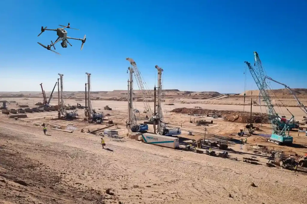
How Drones 2x Fastened Survey for Large Areas
Executive summary We delivered a coastal topographic map to support mangrove planning and environmental impact assessment across 102 km² split into 13 shoreline blocks in Jubail and Ras Al Khair. Field data collection finished in 1 month. Processing took 2 months. The program concluded in under 3 months end-to-end, significantly faster than a traditional coastal […]
Drone-Based Progress Tracking: Enhancing Accuracy, Safety, and Efficiency in Construction Projects
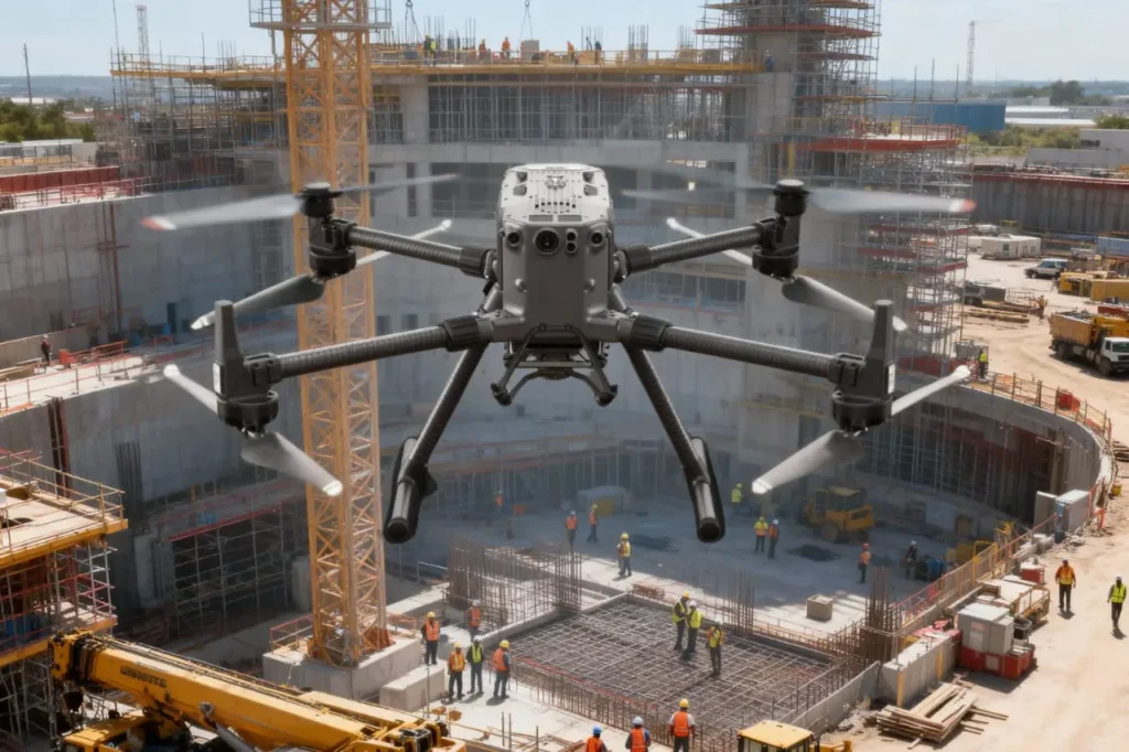
Highlight the Challenge in Project Monitoring Construction is a race against time, budgets, and safety risks. Projects involve thousands of moving parts, from contractors and materials to heavy machinery and schedules and keeping them aligned is one of the most difficult tasks in the industry. Progress monitoring is supposed to be the safeguard, yet in […]