At Terra Drone Arabia, we deliver drone solutions that bring safety, speed, and precision to your industrial needs. Our Drone Services harness the power of advanced aerial technology to provide industry-leading data acquisition, inspection, surveillance, and mapping solutions. Using a diverse range of sensors and payloads, our drone platforms deliver actionable insights across sectors.
From inspection and mapping to agriculture and environmental monitoring, our solutions are designed to meet the highest standards. Explore how we help clients like you get accurate data, minimize risk, and cut operational downtime.
We delivers fully integrated drone and geospatial services that cover the entire project lifecycle, analysis, and visualization. Clients benefit from a one-stop solution provider capable of executing complex workflows with precision. We ensures seamless and high-quality deliverables.
Serving a wide range of sectors, Terra Drone Arabia applies its deep industry knowledge to tailor solutions that meet specific regulatory and operational requirements. This cross-sector experience allows us to ensure compliance with local and international standards.
Equipped with proprietary platforms such as Terra LiDAR, UT Drone, Aviro Sprayer, and Terra Xross 1, Terra Drone Arabia leverages cutting-edge technology to address unique industry challenges. These solutions provide unmatched accuracy and efficiency in many tasks.
Terra Drone Arabia is strategically positioned within the Kingdom to drive innovation and support Vision 2030. The company prioritizes local talent development, invests in R&D, and complies with all Saudi regulatory requirements including GACA, ISO, and Aramco CCC certifications.

Drone Photogrammetry
Capture high-resolution aerial images and convert them into accurate 2D maps and 3D models. ideal for land development, site planning, and volume calculations.
Topography Survey
Reliable elevation and contour data. Topographic surveys deliver centimeter-level precision for roads, utilities, and infrastructure projects.
Drone LiDAR Survey
For complex terrains or dense vegetation, LiDAR drones provide laser-accurate elevation data and surface models that go beyond what cameras can see.
Digital Twinning
Provide you with the digital replicas of physical assets to support asset lifecycle management, engineering workflows, and predictive maintenance strategies.

Flare Stack Inspection
Get the drones to inspect the active flare stacks while in operation, capturing visual and thermal data to identify corrosion, leaks, or heat stress — with less risk to men.
Storage Tank Inspection
From external corrosion to roof integrity, we inspect tanks using visual, thermal, or LiDAR sensors. No scaffolding, no entry.
Powerline Inspection
Fly drones along live powerlines to detect faults, vegetation encroachment, or damage, reducing outage risks and improving grid reliability.
UT Spot Thickness Measurement
With ultrasonic sensors mounted on drones, we measure material thickness to detect wear or corrosion on elevated structures.

Security Monitoring
Patrol your large sites, from refineries to construction zones. We provide aerial views and alerts for unauthorized access or suspicious activity.
Emergency Response
In crisis scenarios like fires, oil spills, or structural collapse. Drones provide real-time visuals for fast and safe decision-making.
Safety Violation Monitoring
Identify safety non-compliance from above, from missing PPE to improper site procedures, and improve real-time response.
Oil Spill Response
Get a rapid aerial mapping of affected zones to support your environmental teams and cleanup logistics.

Air Quality Monitoring
Measure the air pollutants and particulate levels to assess environmental compliance or incident response zones.
Greenhouse Gas (GHG) Monitoring
Track CO₂, NOx, and other GHG levels to support sustainability reporting and regulatory audits.
Methane Detection & Quantification
With laser-based methane sensors, you can identify and quantify leaks for oil & gas operators and reduce greenhouse gas emissions.
Water Sampling
Drones with sampling tools collect water from lakes, treatment ponds, or canals for lab testing. No boats needed.

Ground Penetrating Radar (GPR)
GPR drones scan subsurface layers to detect pipes, cavities, or buried utilities with minimal site disruption.
Electromagnetic Survey
Assess soil conductivity and subsurface conditions to inform engineering or environmental studies.
Aeromagnetic Survey
Measure magnetic field variations for geological mapping, resource exploration, and mineral surveys.
Shallow Subsurface Mapping
Collect precise near-surface data to support construction, archaeology, or geotechnical investigations.
Land Parcel Mapping
Define and visualize field boundaries with georeferenced maps for smarter planning and irrigation.
Flood Assessment
After extreme weather, drones quickly map affected areas to support emergency response and farm recovery planning.
Tree Health Assessment
Detect tree stress, pest infestation, or disease early with multispectral imaging and NDVI analysis.
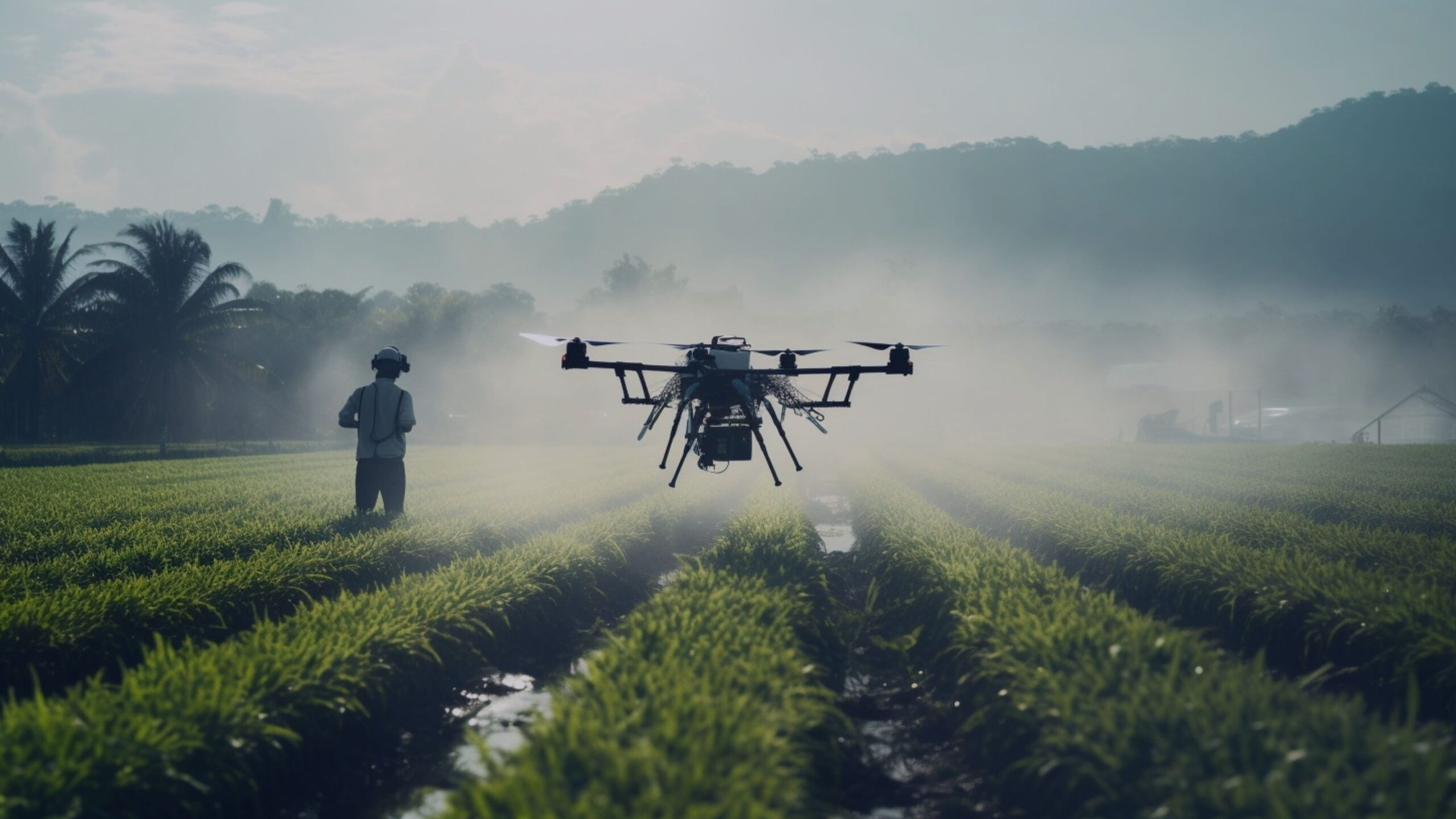
Spot Pesticide Spraying
Deliver targeted pesticide application only where needed — saving chemical use and protecting crop health.