

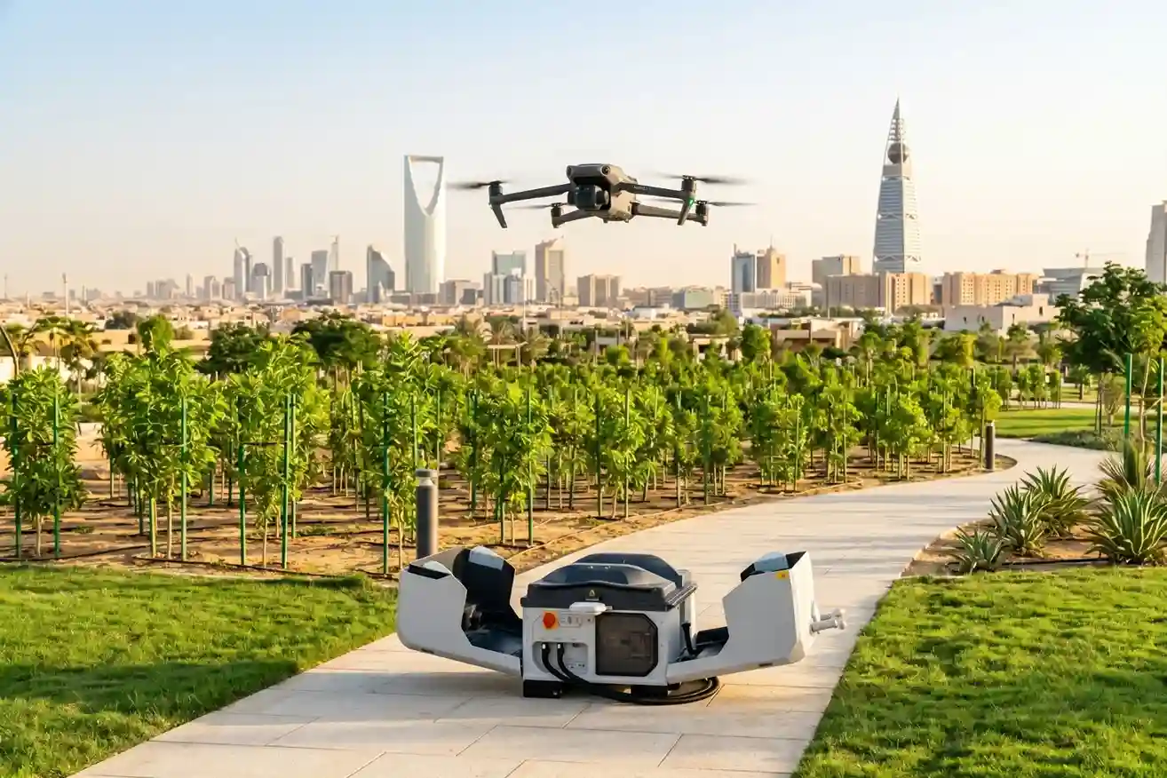
Riyadh’s industrial sectors managed by the Saudi Authority for Industrial Cities and Technology Zones (MODON) represent key drivers of national manufacturing and logistics expansion under Vision 2030.
Housing thousands of active industrial facilities across Riyadh 2nd and 3rd Industrial Cities, these zones require continuous, real-time perimeter monitoring to safeguard manufacturing assets, power distribution grids, and logistics corridors.
Managing industrial footprints of this scale using traditional security methods introduces major operational limitations.
Physical security patrols and static CCTV cameras leave wide coverage gaps across large land parcels.
Security vehicles face delayed response times due to site traffic, physical gates, and long driving distances across spread-out industrial sectors.
As industrial expansion accelerates, the global drone-in-a-box (autonomous docking station) market reached SAR 6.45 billion in 2026 and is projected to expand to SAR 27.83 billion by 2034 at a 20.07% CAGR underscores the growing reliance on 24/7 autonomous facility security, remote industrial site monitoring, and perimeter surveillance.
Transitioning to pre-positioned aerial docking platforms transforms static physical security into connected, automated field intelligence.
DJI Dock 3 Deployment for Daily Security Workflows
Establishing automated, round-the-clock aerial monitoring across Riyadh Industrial Cities relies on deploying pre-positioned “drone-in-a-box” docking stations that operate completely without on-site human pilots.
Remote flight platforms, such as the قاعدة DJI 3 paired with Matrice-series aircraft, serve as self-contained operational security hubs distributed across high-priority industrial districts.
The DJI Dock 3 system integrates hardware and software engineered for continuous industrial security deployment:
- All-Weather Docking Architecture: Features an IP55 ingress protection rating, integrated climate control, and surge protection modules, allowing the station to operate continuously in extreme desert environments, resisting blowing dust, high ambient heat, and heavy sandstorms.
- Rapid Charging and Readiness: Following mission completion, the aircraft lands automatically on the docking pad. An automated cooling system charges the drone batteries from 20% to 90% in approximately 25 minutes, maintaining continuous operational readiness for consecutive security flights.
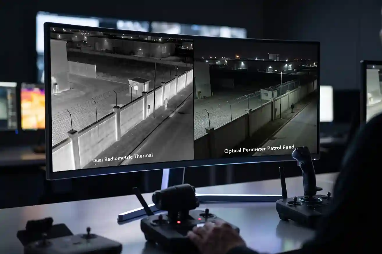
- Dual Thermal and Optical Sensing: Equipped with high-resolution optical zoom cameras, radiometric thermal sensors ($640 \times 512$ resolution), and laser rangefinders, the aircraft detects fence line breaches, unauthorized vehicle movement, and structural thermal anomalies during day or night patrols.
- Centralized Fleet Coordination via FlightHub 2: All docking stations connect directly to management software like DJI FlightHub 2. Security supervisors program automated flight paths, set up trigger-based launch routines, monitor live telemetry, and stream real-time video feeds into central command centers.
Addressing labor costs and human hazards, field operational research demonstrating that replacing traditional roving guard patrols with automated drone docking networks delivers up to a 60% to 70% reduction in overall security operational costs while providing continuous perimeter coverage and eliminating physical human exposure in hazardous or high-risk industrial zones provides a strong economic case for facility management.
Pre-programmed flight paths allow autonomous drones to execute scheduled perimeter sweeps, audit high-voltage electrical substations, and monitor vulnerable facility boundaries without mobilizing ground security vehicles.
Drone as a First Responder (DFR) and Command Center Live-Streaming
Industrial parks face operational emergencies that demand immediate situational awareness, including electrical transformer fires, chemical spills, unauthorized perimeter intrusion, and traffic collisions.
When a perimeter motion sensor or facility alarm trips, dispatching ground security vehicles into complex industrial corridors can lead to dangerous delays.
Integrating autonomous drone docks directly with facility alarm systems enables a “Drone as First Responder” (DFR) operational model.
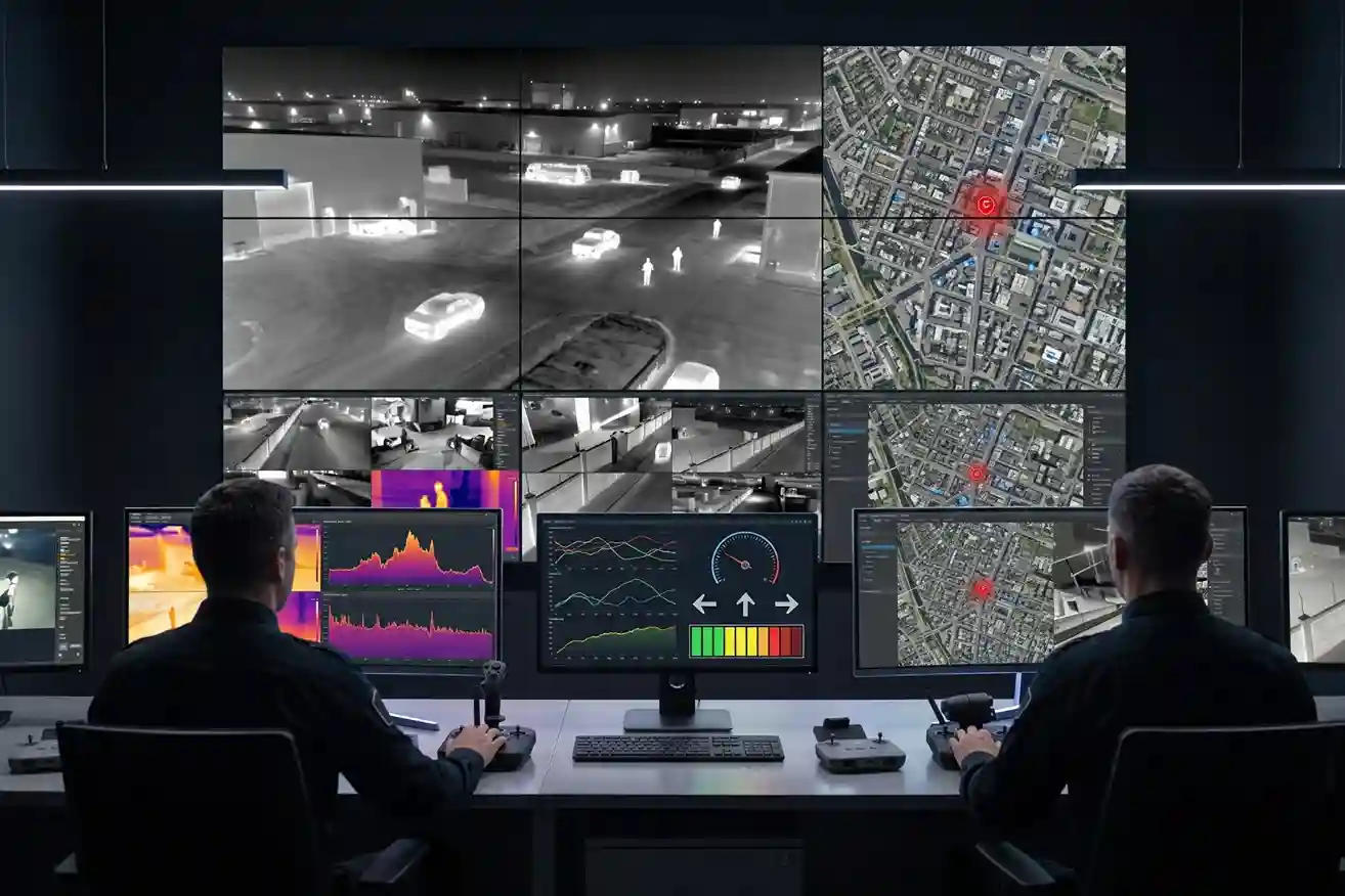
During active security breaches or safety alarms, emergency performance data from Dataintelo confirming that deploying pre-positioned autonomous drone docks across high-density industrial parks reduces emergency response times from standard ground patrol averages of 7 to 10 minutes down to under 2 minutes (achieving arrival times up to 70% to 80% faster than ground vehicles), streaming live 4K thermal and visual video feeds to command centers within seconds of an alarm trigger, allows security officers to evaluate incidents in real time.
Live-streamed optical and thermal video feeds allow incident commanders to verify false alarms, evaluate fire perimeters, track fleeing intruders, and identify safe access routes before first responders arrive on scene.
This immediate aerial perspective reduces physical risks for ground security personnel and speeds up decision-making during critical incidents.
Integrating Autonomous Patrol Data into Smart City Governance
The primary value of autonomous drone patrols lies in converting raw aerial video and spatial telemetry into actionable security intelligence.
Captured spatial datasets do not remain locked inside flight software; they feed directly into enterprise systems used by municipal leadership, facility management, and public safety officers.
- ArcGIS and Enterprise Platform Integration: High-resolution orthomosaics, 3D point clouds, thermal defect maps, and AI-tagged intrusion alerts convert into georeferenced layers compatible with ArcGIS environments, Enterprise Asset Management (EAM) software, and executive dashboards.
- Data Ownership and Security Governance: All operational workflows adhere to national governance protocols, including General Authority of Civil Aviation (GACA) airspace permits, Saudi Data and Artificial Intelligence Authority (SDAIA) data privacy rules, and National Cybersecurity Authority (NCA) standards. Secure local data hosting ensures sensitive infrastructure records remain protected.
- Repeatable Decision Loop: Monitoring the same industrial sectors on a continuous, automated schedule establishes an objective security baseline. Municipalities and facility managers shift from reactive incident management to proactive, data-driven security operations across Riyadh Industrial Cities.
Consult with Our Experts
Streamline your facility perimeter security, continuous 24/7 automated surveillance, and autonomous drone dock deployments.
Contact our specialist to deploy advanced aerial and robotic solutions for your infrastructure projects.

 العربية