المساحة ورسم الخرائط

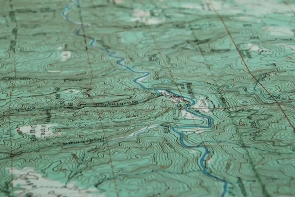
Terra Drone Arabia offers high-precision Survey & Mapping services using drone and LiDAR technologies, enabling faster, safer, and more accurate data collection than traditional survey methods.

المشاكل الحالية التي يواجهها عملاؤنا

Inaccessibility

Harsh terrains, remote locations, and safety hazards make manual data collection difficult or impossible

Time & Cost

Traditional ground survey methods are labor-intensive and time-consuming

Data Obsolescence

Long survey durations often render collected data outdated before analysis is complete

Inconsistency

Manual surveys are prone to human error and inconsistencies, especially in large-scale infrastructure or complex terrain

Lack of Detail

Traditional tools frequently fall short in delivering the high vertical accuracy and fine resolution required for advanced engineering.

Data Management Overload

Many organizations struggle with processing, managing, and transforming this raw data into actionable insights 

الفوائد وضمان مستوى الخدمة (SLA)

Delivering Excellence in Surveying for Faster, Safer, and More Accurate Data Solutions

Speed

Up to 10x faster than traditional survey methods

Accuracy

Up to 3–5 cm horizontal/vertical accuracy with a combination of PPK/RTK and GCP

Coverage

Wide-area coverage in short timeframes (Up to 15 km²/day/drone)

Delivery Time

First draft within 2–3 working days after flight

Data Format

Customizable outputs: DWG, DXF, LAS, GeoTIFF, etc.

Safety & Compliance

GACAR 107 certified pilots & airspace-compliant missions

التقنيات والأساليب

تقنيات متقدمة لحيازة ومعالجة البيانات الجيومكانية لدقة لا مثيل لها. الاستخدام المنهجي لتقنيات الاستشعار عن بعد للتحليل البيئي والهيكلي متعدد المقاييس.

Photogrammetry (RGB)

Orthomosaic, DSM/DTM, contour lines

Multispectral Imaging

Vegetation mapping, land classification

LiDAR (UAV, terrestrial, bathymetric)

High-resolution topography & terrain modeling

Oblique Photogrammetry

Accurate 3D modeling of vertical structures

GNSS PPK/RTK and GCPs Integration

Enhanced spatial accuracy & absolute georeferencing

المخرجات النموذجية

  • Orthomosaic Map (GeoTIFF, ecw, tiled maps, etc)
  • Digital Surface Model (DSM) (GeoTIFF)
  • Digital Terrain Model (DTM) (GeoTIFF)
  • CAD-Compatible Topographic Plans (.DWG/.DXF)
    • Contour Lines
    • Elevation Grid
    • 2D/ 3D CAD Drawing
  • 3D Point Clouds (.LAS/.LAZ)
  • Texturized 3D Model (.OBJ)
  • Geodatabase & GIS-Compatible Derivatives (.KML/.SHP/.GeoJSON)
  • Volume Calculations (stockpiles, excavations)
  • Change Detection/Progress Reports

أنظمة الطائرات بدون طيار والحمولة ذات الصلة

المنصات الموصى بها المتاحة للشراء أو لنشر الخدمات:

  • طائرة بدون طيار
    • دي جي آي إم 350 آر تي كيه
    • DJI M400
    • DJI Mavic 4 Enterprise
    • قاعدة DJI 3
    • Quantum Systems Trinity Pro
  • حمولة
    • Zenmuse P1 (Photogrammetry)
    • Zenmuse L2 (LiDAR)
    • Sony LR-1
    • Yellowscan Qube 640
    • Yellowscan Navigator
    • Micasense Altum
  • Supporting Device
    • DJI D-RTK 3

حالات الاستخدام العامة

Cross-Sector Applications of Drone and Geospatial Technologies for Mapping & Survey

النفط والغاز

Site preparation, access road planning, flare site mapping, seismic activity planning, inventory update, etc

Construction

Pre-design survey, volumetrics, cut-fill calculation, progress monitoring, etc

Mining

Pit design, stockpile volume auditing, progress monitoring, hazard identification, tailing dam monitoring, etc

Utilities

Right-of-way mapping, tower route alignment, route optimization, etc

التخطيط الحضري

Zoning, parcel demarcation, digital twin foundation, etc

زراعة

Estate design, tree counting & labeling, terrain classification, water flow modeling, land cover, etc

استفسار عن خدمة

Drone conducting topographic mapping in the transmission corridor.

أسئلة متكررة

With RTK/PPK and GCPs, we can achieve horizontal accuracy up to 3–5 cm and vertical accuracy up to 5–8 cm.

Yes, we provide CAD-compatible formats like DWG and DXF, as well as geospatial formats such as LAS, GeoTIFF, and SHP.

We use GCPs, post-processing corrections, and hybrid methods (UAV + terrestrial survey) to ensure data quality.

Yes. All missions in Saudi Arabia are conducted with licensed GACAR 107 pilots and coordinated with GACA.