Advancing Geospatial Intelligence for Smarter Cities and Infrastructure
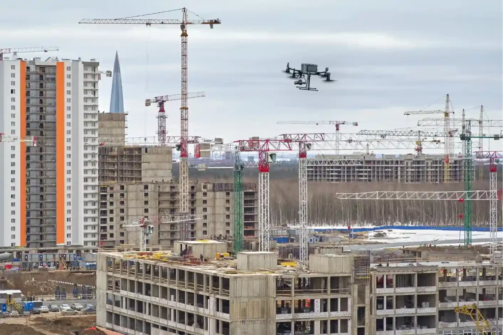
Saudi Arabia is building the future, investing heavily in monumental projects like NEOM, The Line, and Red Sea Global. These megaprojects carry an immense price tag and an equally immense demand for speed and precision. However, construction starts with Topographic Mapping, and here lies a critical problem. Conventional surveying methods, which rely on manual teams […]
