How Drone Mapped Over 100 km² Under 1 Month
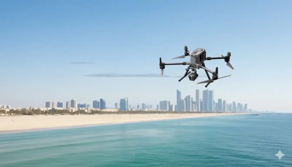
We delivered high-accuracy coastal topography to support mangrove planning and environmental impact assessment across more than 100 km² at the eastern province shoreline, split into multiple shoreline blocks. Field data collection finished in 1 month, and processing took 2 months, for a total delivery under 3 months end-to-end. The objective was a drone-based LiDAR + […]
