- AERIAL SOLUTIONS
See Beyond Limits
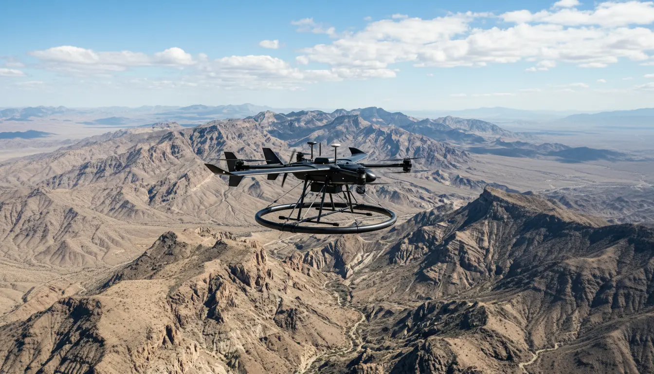
From flare stacks to pipelines, from terrain mapping to methane detection. Our drones go where people shouldn’t, collecting data they can’t.
CORE ADVANTAGES
Why Partner with Terra Drone?
We combine proprietary drone platforms and global methodologies with deep knowledge of Saudi regulatory and operational requirements, delivering outcomes traditional methods simply cannot match.
End-to-End Delivery
From flight planning to final engineering report, one provider for data acquisition, processing, and actionable deliverables.
Multisector Expertise
Proven across oil & gas, petrochemicals, construction, and renewables with tailored workflows for each industry.
Proprietary Platforms
Terra LiDAR, Terra UT Drone, Terra Xross 1, and Voliro, purpose-built for challenges standard drones cannot handle.
Saudi-Ready Operations
GACA-licensed, ISO-certified, and fully compliant with local regulations. Saudi-based pilots, engineers, and project teams.
Operational Capabilities
We deploy specialized platforms for every environment, from open deserts to the heart of a flare stack.
01
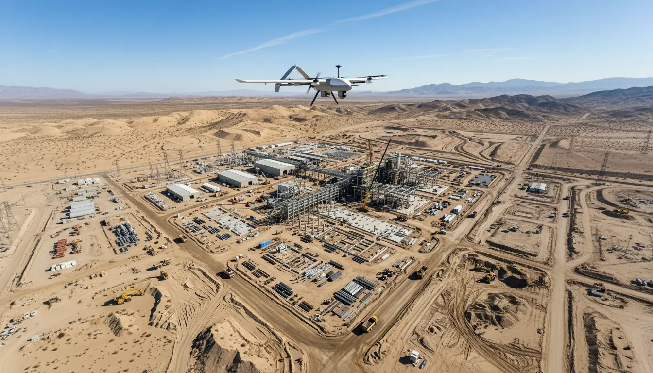
Survey & Mapping
Get centimeter-accurate terrain data 10x faster. Our LiDAR and photogrammetry drones cover up to 15 km²/day, replacing weeks of manual surveying with days of precision mapping.
THE CHALLENGE
- Harsh terrain makes manual surveys slow and unsafe
- Traditional methods fail to capture dense, accurate data
OUR SOLUTION
- High-Density Drone LiDAR Survey
- Topographic & Bathymetric Mapping
- Digital Twinning & Volumetric Analysis
- 3D Modeling & Orthomosaic Generation
02
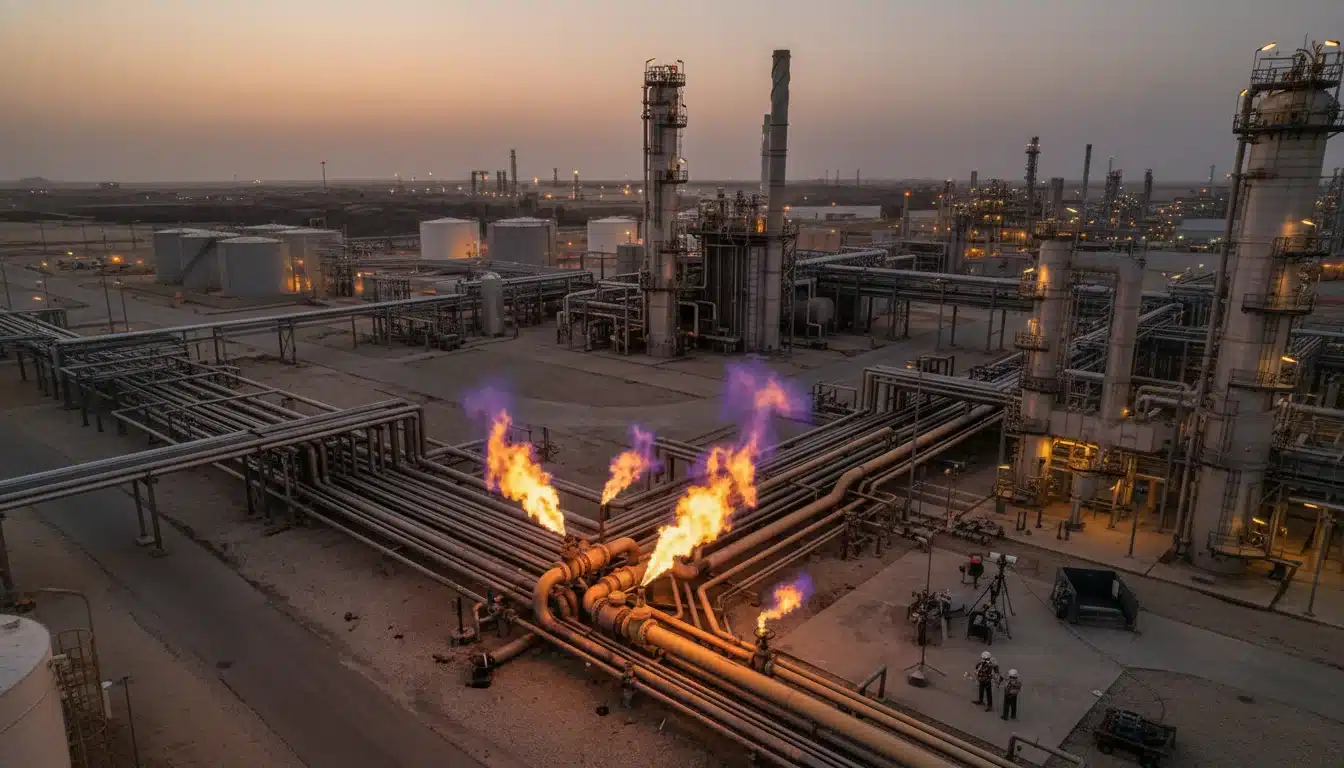
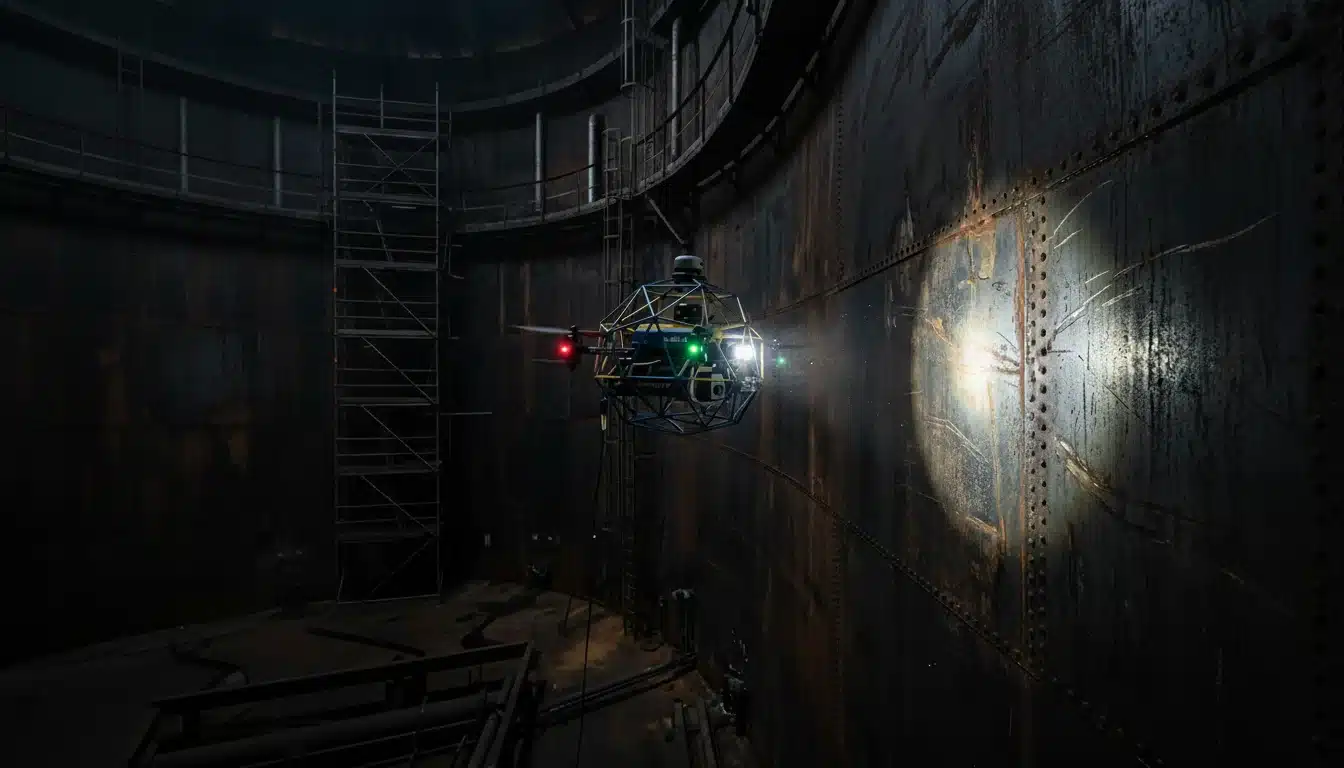
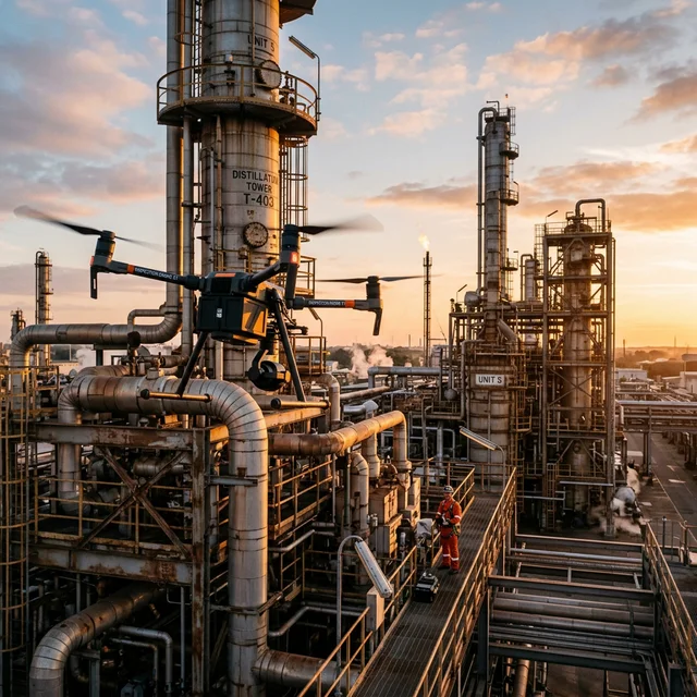
Non-Destructive Inspection
Eliminate scaffolding and shutdowns with safe, high-resolution aerial asset health monitoring.
THE CHALLENGE
- Human entry to confined spaces is extremely high-risk
- Scaffolding costs exceed the actual inspection budget
OUR SOLUTION
- UT Spot Thickness Measurements (Drone-based)
- Confined Space Inspection (Caged Drones)
- Thermal & Visual Flare Stack Inspection
- Surface Defect Analysis via AI
03
Security & Surveillance
Replace static CCTV blind spots with autonomous patrols and real-time incident detection.
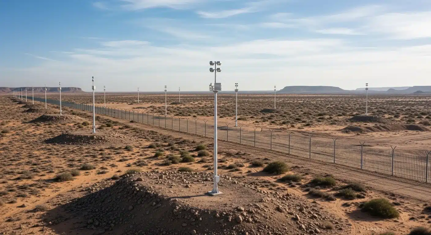
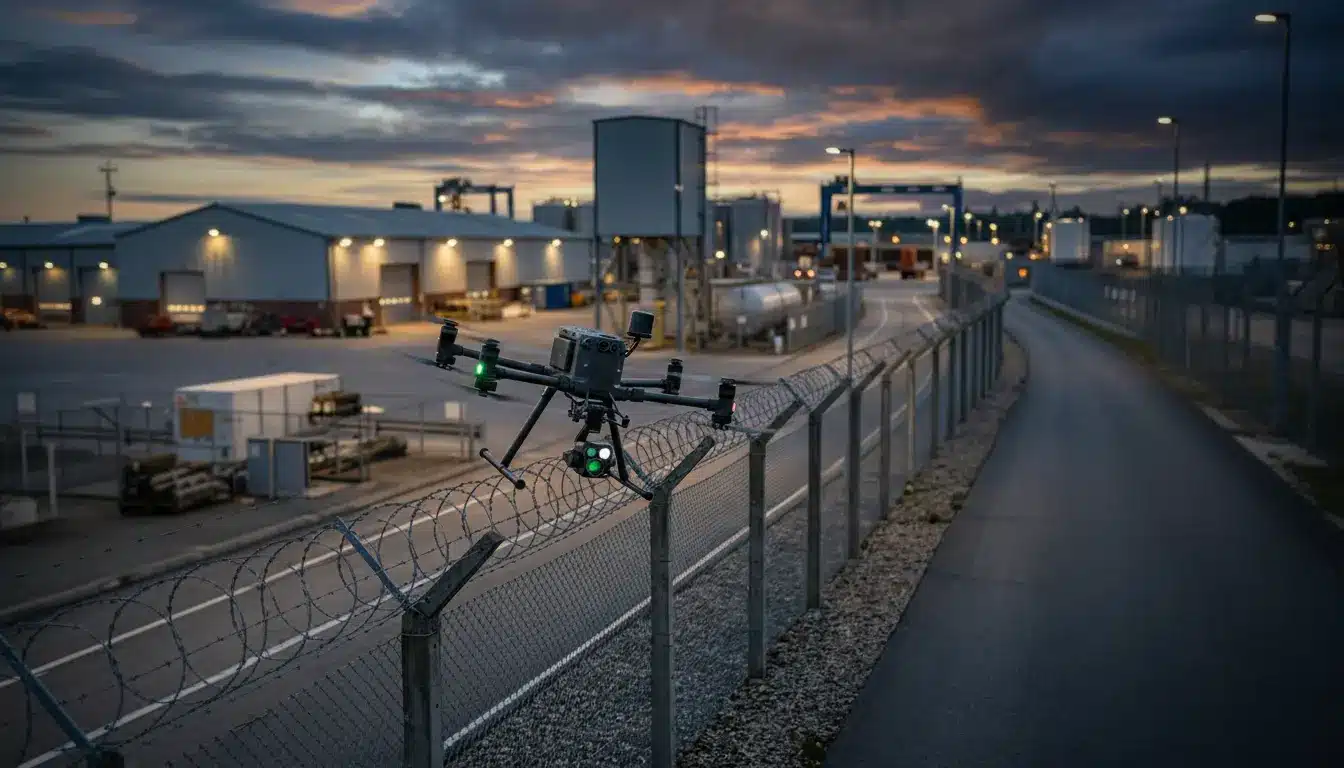
THE CHALLENGE
- Static cameras leave massive perimeter blind spots
- Ground patrols cannot respond fast enough to alarms
OUR SOLUTION
- 24/7 Autonomous Drone-in-a-Box Patrols
- AI-Powered Intruder & Fire Detection
- Real-time Live Stream to Control Rooms
- Search and Rescue Coordination
04
Survey & Mapping
Quantify fugitive emissions and methane leaks with ppm-level accuracy for ESG compliance.
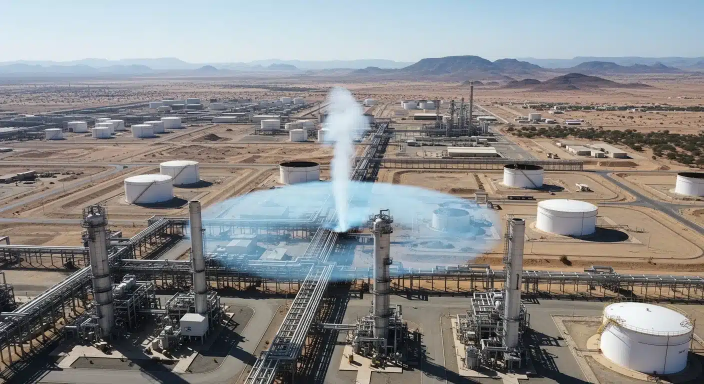
THE CHALLENGE
- Fugitive leaks go undetected without specialized gear
- Regulatory fines for undocumented methane emissions
OUR SOLUTION
- Methane Leak Detection & Quantification
- Greenhouse Gas (GHG) Emissions Audits
- Thermal Anomaly Detection
- Compliance-Ready ESG Reporting

Riyadh
Prince Saud bin Abdullah bin Jalawi st, Al Qirawan, Riyadh 13533, KSA
Dhahran
Dhahran Techno Valley 8783 Ibn Al Haitham St, Dhahran 34464, KSA
Newsletter
© 2026 All rights reserved.
Privacy Policy | Terms and Conditions