The foundational task of building or improving any major road, rail, or highway in the swiftly developing MENA region is topographic mapping. This process, which creates a three-dimensional model of the land’s surface, is not just a preliminary step; it dictates the engineering viability, the budget, and the ultimate timeline of the entire project. Yet, the intense pressure of Vision 2030 deadlines has created a crisis: the slow, dangerous, and low-density methods of the past simply cannot keep pace.
We need a solution that is not just faster, but also more accurate. The answer is the intelligent integration of advanced drone technology. The future of linear infrastructure hinges on the integrated process of aerial topographic mapping, combining LiDAR and Photogrammetry to create a perfect digital foundation for accelerated design and compliance.
The Geospatial Imperative
The economic stability and successful completion of giga-projects depend on fast, reliable survey data. The cost of relying on traditional methods—using manual GNSS rovers or Total Stations—is no longer acceptable.
The Time-to-Data Crisis
For long, linear projects like new highways, manual surveying is inherently slow and logistically complex.
- Low Data Density: Traditional methods rely on measuring individual, selected points3. This results in a sparse dataset that is often insufficient for the detailed volumetric and alignment checks required by modern engineering standards4.
- Safety and Accessibility Risks: Survey teams must be physically present on the ground, often working on steep slopes, near heavy machinery, or close to active traffic555. This introduces significant safety risks and slows work for compliance6.
- Design Lag: The time needed to complete a manual survey of a long corridor can lead to a severe Time-to-Data crisis7. By the time the data is processed, ground conditions may have already changed, forcing costly design adjustments or rework8.
The only way forward is a solution that can capture data at a density measured in millions of points per second, safely, and from the air.
Building the Perfect Digital Terrain Model (DTM)
The core of highway acceleration is the shift to high-precision, non-contact data capture that guarantees accuracy for civil engineering design. This process relies entirely on a technical partnership between two sensor types.

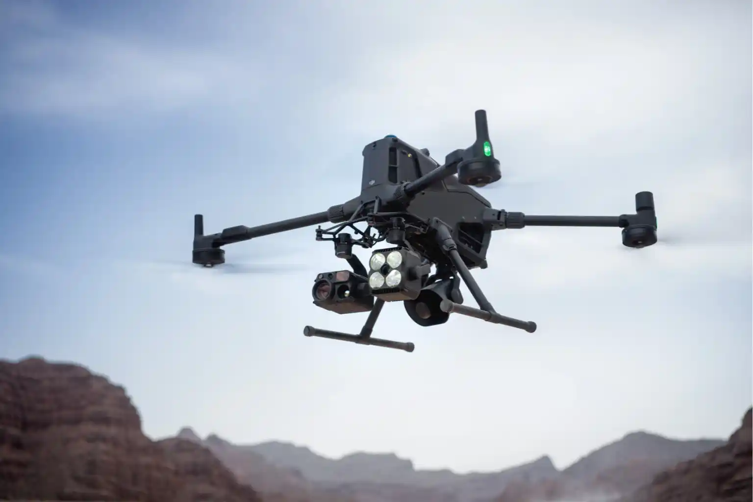
I. High-Fidelity Data Capture: The LiDAR and Photogrammetry Duo
The initial phase of any highway project is critical for budget and safety9. Drones transform this process into a fully transparent, digitally integrated workflow10.
A. LiDAR for True Terrain Modeling (DTM): The Geometric Foundation
LiDAR systems provide the most geometrically accurate data needed for civil engineering design, especially where natural terrain is involved11.
- Pulse Technology and DTM: Our drone-mounted LiDAR systems are active sensors that emit millions of laser pulses per second, precisely measuring distance to create a three-dimensional point cloud12.
- Bare-Earth Penetration: The key technical strength is the ability to record multiple returns per laser pulse. This allows the system to effectively filter out surface features like scrub or construction debris, isolating the bare-earth Digital Terrain Model (DTM)13. This DTM is the non-negotiable geometric basis for calculating slope stability and precise road drainage14.
- Corridor Integrity: This data is used to define critical right-of-way boundaries and spot potential geological hazards along the lengthy highway corridor15.
B. Photogrammetry for Visual Context and Textural Accuracy
While LiDAR provides the geometric skeleton, photogrammetry supplies the high-resolution visual context needed for design review and documentation.
- Creating the Auditable Orthomosaic: Drones capture thousands of high-resolution, overlapping images that are processed into a single, seamless Orthomosaic Map16. This map is geometrically corrected and precisely aligned using RTK (Real-Time Kinematic) positioning, ensuring the visual data is just as accurate as the LiDAR geometry17171717.
- Subsurface Modeling: The initial survey data is also essential for integrating follow-on data, such as utility maps created through Ground Penetrating Radar (GPR)18. This provides a complete 3D picture of any existing underground utilities that could conflict with the new highway design19.
Operational Value and Intelligence
The speed of data capture must translate into provable efficiencies and high-quality results. This is where the integration of topographic mapping into the digital ecosystem pays off.
II. Quality Control and Earthwork Efficiency During Construction
The construction phase of a major highway is characterized by rapid change and high-stakes financial risk. Drones transition from initial surveyors to the project’s digital Quality Assurance (QA) engine.
A. Earthwork Efficiency: Volumetrics and Digital Auditing
Drones control the largest cost variables in highway construction, the movement and management of soil.
- Cut-and-Fill Verification: Automated drone flights capture ultra-high-density 3D data used to create digital elevation models (DEMs). By comparing the current DEM to the planned design surface, advanced software accurately performs cut-and-fill analysis. This ensures the correct quantity of material is being moved, preventing expensive shortages or over-excavation.
- Stockpile Auditing: The same high-accuracy model enables instant and precise stockpile calculation for materials like asphalt and aggregate. Project managers rely on this data for real-time inventory management.
- Rework Mitigation: This high-resolution data ensures that the ground surface aligns with design specifications before expensive paving begins.
B. Progress Monitoring and Digital Twin Alignment
- Progress Tracking: Drones fly repeatable, automated routes to generate consistent, time-stamped orthomosaic maps. This creates an objective, visual timeline of the construction process.
- Design Compliance and Error Reduction: The drone data is digitally compared to the original BIM/CAD design model. This critical Drone-BIM integration has been shown to reduce design errors by up to 65%, allowing teams to catch conflicts early and drastically minimizing costly rework during the active construction phase.
III. Beyond the Pavement: Safety, Traffic, and Asset Intelligence
The overall intelligence derived from topographic mapping moves beyond the construction site into the operational life of the highway.
A. Real-Time Traffic and Operational Safety
- Traffic Flow Analysis: Drones provide a consistent aerial perspective over high-traffic areas. AI algorithms process the video to automatically extract precise vehicle speeds and trajectories, which is essential for intelligent transportation systems (ITS) to optimize signal timing and forecast congestion.
- Accident Response: After an incident, drones quickly capture high-resolution imagery to reconstruct the accident scene accurately and quickly.
B. Structural Health and the Digital Twin Highway
- Bridge and Pavement Inspection: Drones inspect difficult-to-reach areas of bridges for cracks and corrosion. Crucially, drone inspections can reduce asset inspection times by 4x compared to manual methods.
- Predictive Modeling: All recurring data from the initial topographic mapping and subsequent maintenance flights is continuously updated in a master digital twin environment. Asset managers use this to run simulations that predict when sections of pavement or structure will fail. This capability allows for highly sophisticated predictive maintenance planning, ensuring resources are used proactively and efficiently.
Conclusion
The undeniable benefits of cost savings, time efficiency, and enhanced safety have made drone technology an indispensable tool for modern infrastructure management. This technology can reduce inspection times and eliminates the need for expensive, risky equipment.
As your trusted, certified local partner, providing the expertise required to transition to this aerial advantage. We possess the needed hardware and the local compliance knowledge to deliver objective, repeatable, and high-resolution data for every highway inspection mission.
Claim your FREE 3-month progress monitoring with no questions asked to accelerate your shift to predictive asset management and experience. Take action today to future-proof your critical transportation network.