
Afforestation Monitoring: Using Multispectral Drone for Tree Canopy Health
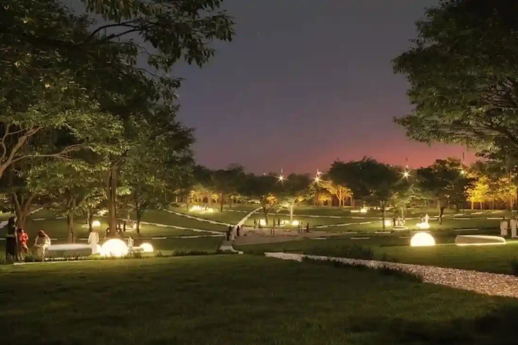
Urban greening in desert environments requires active monitoring to ensure long-term plant survival. Under Saudi Vision 2030, the Green Riyadh project represents a massive effort to build sustainable urban spaces. A central part of this initiative is the construction of three new city parks in the Al Munsiyah, Al Rimmal, and Al Qadisiyah neighborhoods, covering […]
Precision Geospatial Inspection: Safeguarding Green Riyadh’s Water Infrastructure with Aerial Leak Detection
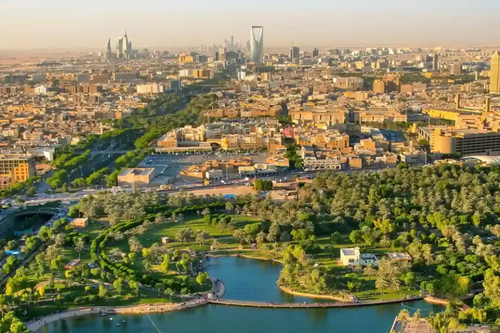
Urban modernization inside arid climates requires robust resource management to sustain newly built environmental projects. Under the economic development mandates of Saudi Vision 2030, the Green Riyadh initiative represents a major municipal effort to transform the desert capital into an ecologically balanced urban space. A primary focus of this initiative is the construction of three […]
Drone Thermography Survey for Solar Farm O&M at SPARK
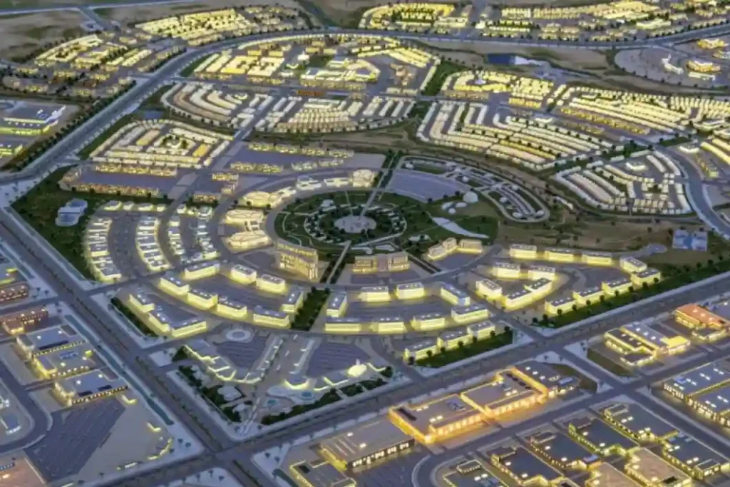
As Saudi Arabia accelerates its shift toward alternative energy under Saudi Vision 2030, the development of modern infrastructure requires automated maintenance systems. The King Salman Energy Park (SPARK) stands as a major part of this transition, operating as a sustainable industrial hub built to advance the digitalization and energy transition goals of the Kingdom. This […]
Diriyah 2032 Rail: Weekly Digital Twin Audits for RCRC Transit Infrastructure
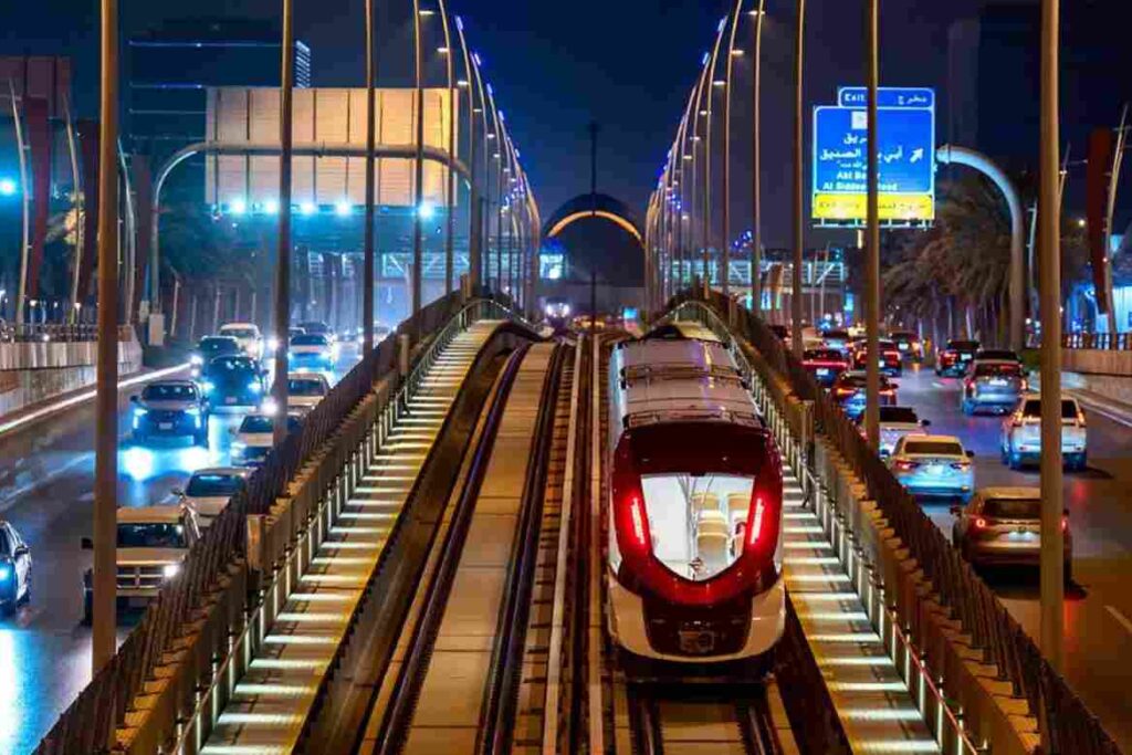
The Royal Commission for Riyadh City (RCRC) is actively extending the Riyadh Metro Red Line by 8.4 kilometers, driving the transit network directly into the Diriyah Gate development project. This mass infrastructure expansion introduces a significant civil engineering challenge, requiring 7.1 kilometers of deep underground tunneling alongside 1.3 kilometers of elevated viaduct tracks. The expansion […]
Construction Tracking and 3D Digital Twin for Saudi Arabia’s Superblock
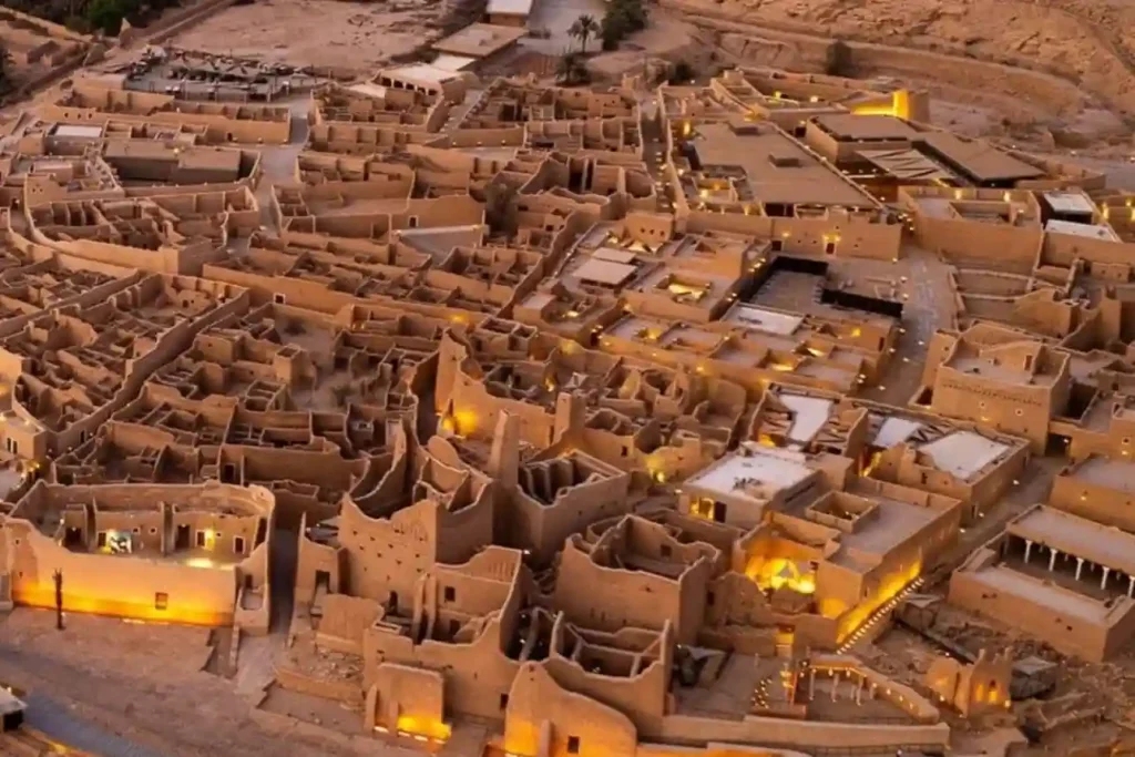
The SAR 2.7 Billion Diriyah Megaproject The Diriyah Company’s recent award of a SAR 2.7 billion contract to the joint venture of Hassan Allam Construction Saudi and UCC Saudi marks the official construction launch of the Waldorf Astoria superblock. This high-profile mixed-use development features a 200-key luxury hotel, 47 branded residences, commercial facilities, and modern […]
Underwater Biovidersity Inspection With QYSEA FIFISH V-EVO

Seafloor Mapping Protecting a coastal ecosystem requires a complete understanding of its underwater terrain. Before any conservation plans or low-impact tourist activities can begin around Laheq Island, environmental teams must map the layout, underwater trenches, and shallow slopes of the seabed. This structural map helps scientists understand exactly where marine habitats are located and how […]
Tracking mass Earthwork for Large-Scale Industrial Pads
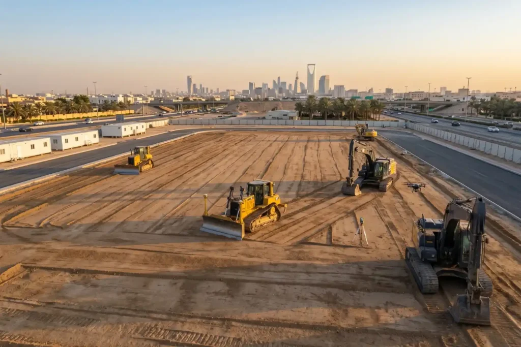
Preparing foundations for heavy industrial facilities involves extensive land preparation. For instance, leveling a single industrial pad measuring 400 by 400 meters requires grading a continuous surface area of 160,000 square meters. Managing earthwork at this scale introduces serious financial risks. Industrial research shows that 98% of megaprojects face cost overruns that exceed 30%, with […]
Pre-Construction Topographic Mapping for the Large-Scale Gas Expansion in Jafurah
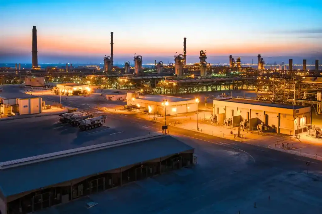
Expanding regional energy infrastructure across hyper-arid environments requires absolute geographic precision before a single asset is mobilized. As part of its long-term strategy to boost domestic energy production, Aramco is actively scaling up its country-wide gas network, recently finalizing a series of major expansion contracts totaling SAR 93.8 billion. A major pillar of this multi-tier […]
The Role of Drones in High-Rise Facade Inspections
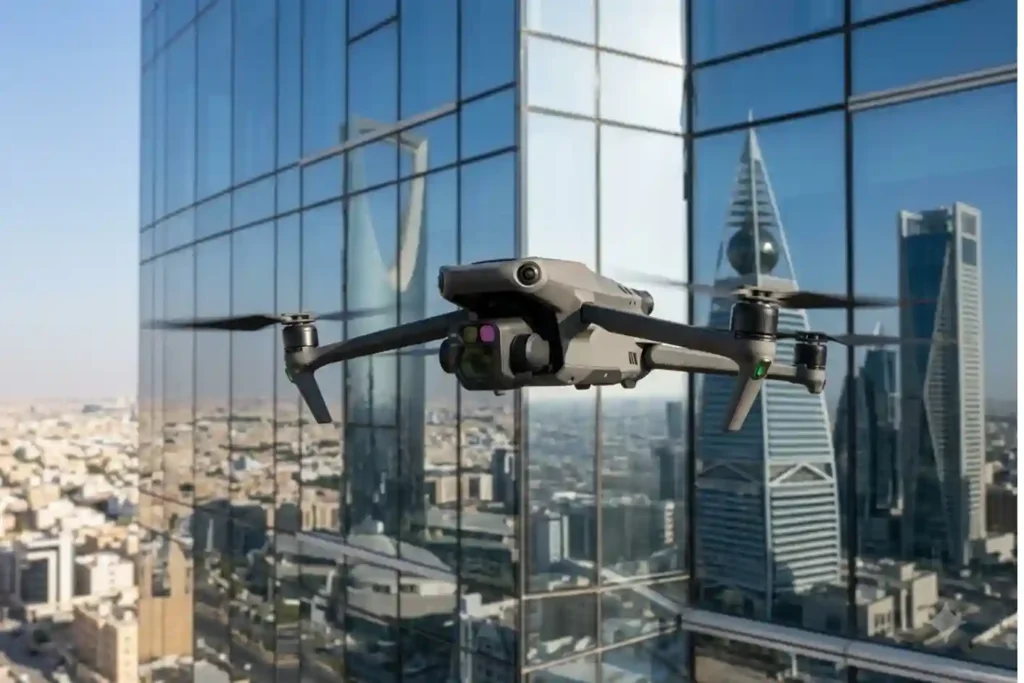
Traditional facade inspections are often stuck in the past. Facility managers usually rely on heavy scaffolding or rope-access teams to check for building damage. This manual approach is slow and carries high operational costs. It often delays critical repairs that are needed to protect the building’s structural health. While we previously explored how thermal imaging […]
كيف يخفض DJI Dock 3 تكاليف فحص الطاقة الشمسية
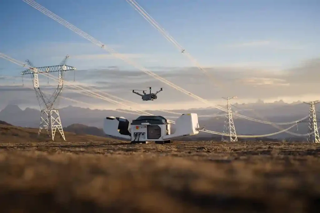
غالبا ما تتطلب إدارة مواقع الطاقة الكبيرة جهداً يدوياً هائلاً وتكاليف تشغيلية عالية. تغطي مزرعة الطاقة الشمسية القياسية بقدرة 100 ميجاوات حوالي 3.4 كيلومتر مربع وتحتوي على أكثر من 900 ألف لوح. قد يستغرق فحص هذه المساحة الشاسعة يدوياً فريقاً أرضياً أكثر من شهر كامل لإكماله. فريق أرضي تقليدي مكون من أربعة إلى ستة أشخاص [...]
 English
  العربية