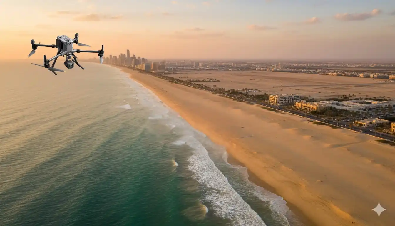
We delivered high-accuracy coastal topography to support mangrove planning and environmental impact assessment across more than 100 km² at the eastern province shoreline, split into multiple shoreline blocks. Field data collection finished in 1 month, and processing took 2 months, for a total delivery under 3 months end-to-end.
The objective was a drone-based LiDAR + photogrammetry topographic map for ecological planning and EIA. Deliverables included GCP and ICP lists, orthomosaic, DSM, DTM, contours, 2D CAD, an Accuracy Assessment, and a Survey Report.
Why Is Coastal Topography Challenging
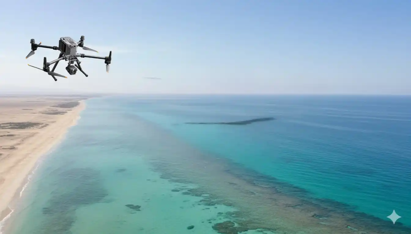
Shorelines limit access and introduce safety risks. Above all, tide windows govern when and how long you can work, stretching ground schedules and complicating repeatable measurements. In this context, a traditional approach is very difficult and time-consuming.
Approach: Hybrid Drone LiDAR + Photogrammetry
We selected a hybrid workflow to achieve both elevation fidelity and high-resolution textures. A drone survey was chosen specifically to overcome shoreline access limitations while still respecting tidal schedules for data quality.
Platforms & Control
- Control: Trimble R12 for PRM and for measuring GCPs and ICPs to ensure traceable accuracy and independent validation.
- Airframes & sensors: DJI M350 RTK with Zenmuse P1 (imagery) and Zenmuse L2 (LiDAR); Trinity Pro with Sony LR-1 and Qube640 to extend corridor efficiency and coverage.
Tide-window Acquisition Strategy
We divided the shoreline into multiple blocks and scheduled missions inside tide windows to balance safety and data quality. This plan was completed in 1 month. Datasets included GCP/ICP coordinates, drone photos, and LiDAR point clouds.
Processing & Quality Assurance
We aligned imagery and LiDAR with the control network, generated DSM and bare-earth DTM, built the orthomosaic, and produced contours and 2D CAD. An Accuracy Assessment, based on independent checkpoints and a comprehensive survey report, documents the results for audit and sign-off.
Results That Matter
- Timeline: Project concluded in < 3 months, compared with ~ 6 months for traditional coastal methods.
- Benefits: Improved accuracy, faster turnaround, cost reduction, and increased safety were recorded benefits.
- Compliance: The topographic map is compliant with consultant standards and industry best practices.
- Safety: Risk reduced by removing most survey work from the tidal zone, which is frequently inundated at high tide.
What Stakeholders Receive
A design-ready, traceable package: GCP/ICP lists, orthomosaic, DSM, DTM, contours, 2D CAD drawings, Accuracy Assessment, and Survey Report. This stack forms a clear audit trail from acquisition to final surfaces.
Implementation Checklist
To scope accurately, share: AOI geometry, target scale and contour interval, accuracy tolerances, CRS/vertical datum, relevant tide tables, and any permit constraints. These inputs drive block planning, control layout, and compliance steps.
Start Now
Send your AOI and requirements. We will return a scoped plan with flight blocks, control layout, QA gates, and a delivery schedule aligned to your milestones. Included at no cost for kickoff: free 3-month progress monitoring, with monthly milestone updates, QA-gate briefs with checkpoint residuals, a simple status dashboard for field and processing stages, and a pilot-block validation with a sample tile under NDA for early stakeholder review.