كيف قامت خرائط الطائرات بدون طيار الطبوغرافية بمسح 124 كم² في شهر واحد
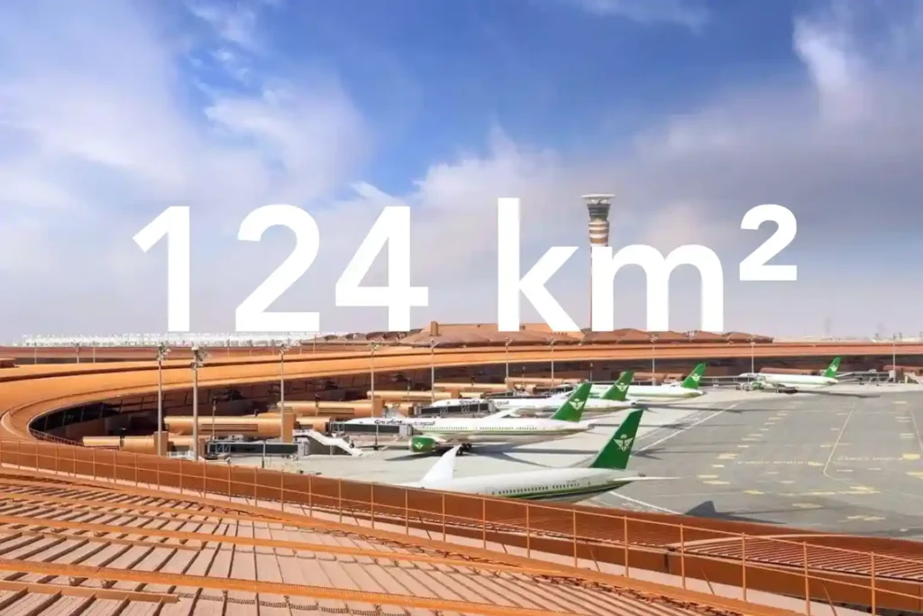
يعتمد كل قرار في ترقية مجاري الصرف الصحي أو توسيع أنظمة الصرف على دقة سطح الأرض الذي تقدمه للمصممين. في ممر حضري كثيف بجوار مطار دولي، تواجه المسوحات التقليدية بواسطة المحطات الشاملة وأنظمة تحديد المواقع العالمية (GNSS) فجوات في خط الرؤية وتحيزًا بسبب العوائق مما يخلق عدم دقة وتغطية غير متساوية. هذا الخطر حقيقي في [...]
تتبع التقدم القائم على الطائرات بدون طيار: تعزيز الدقة والسلامة والكفاءة في مشاريع البناء
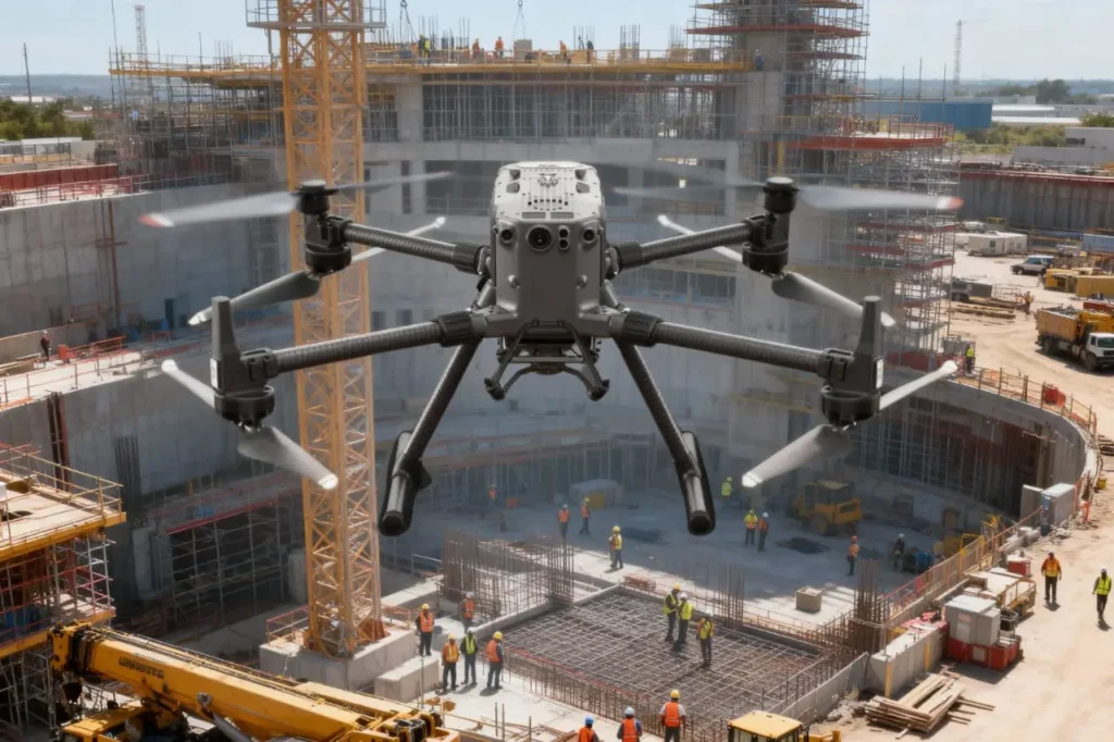
يعد بناء المشاريع سباقًا ضد الزمن والميزانيات ومخاطر السلامة. تتضمن المشاريع آلاف الأجزاء المتحركة، من المقاولين والمواد إلى الآلات الثقيلة والجداول الزمنية، ويعد الحفاظ على توافقها من بين المهام الأكثر صعوبة في هذه الصناعة. يُفترض أن تكون مراقبة التقدم هي الضمان، ولكن في [...]
كيف تختصر الطائرات بدون طيار وقت فحص النفط والغاز من أسبوعين إلى 4 ساعات
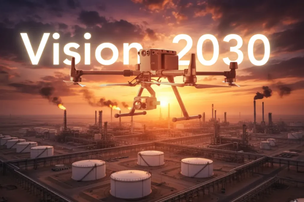
التقاط تحديات التفتيش: يظل النفط والغاز محور اقتصاد المملكة العربية السعودية وهما عنصران حاسمان لتحقيق طموحات رؤية 2030. لكن صيانة البنية التحتية الضخمة لهذا القطاع، من المصافي وخطوط الأنابيب إلى خزانات التخزين، لطالما كانت عملية تستغرق وقتًا طويلاً ومكلفة وخطرة. غالبًا ما تعتمد عمليات التفتيش التقليدية على سقالات، ورافعات، وإغلاق للمنشآت [...]
الطائرات بدون طيار كركيزة لرؤية 2030: دمج الاستراتيجية الوطنية وأنظمة الطائرات غير المأهولة
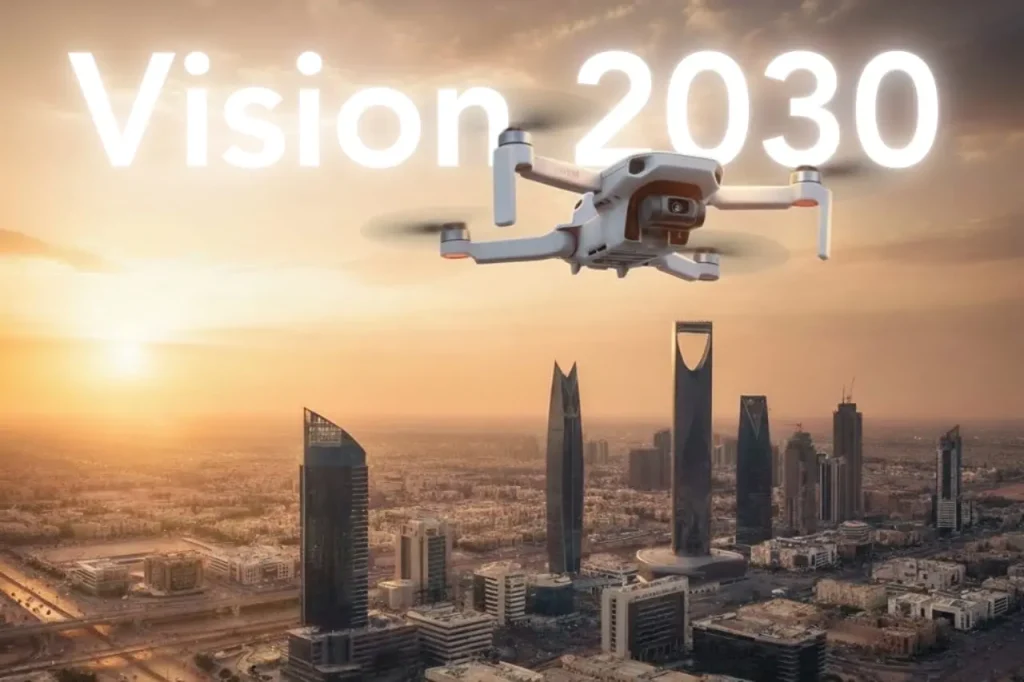
تعد رؤية المملكة 2030 واحدة من أكثر برامج التحول طموحًا في العالم، وتهدف إلى تنويع الاقتصاد، وتمكين الصناعات الجديدة، وتقديم مدن أذكى وأكثر استدامة. يتطلب تحقيق هذه الأهداف تقنيات رقمية متقدمة، وسرعان ما تثبت الطائرات المسيرة (الدرونز) أنها ركيزة أساسية لهذه الاستراتيجية الوطنية. عالميًا، أعادت الطائرات المسيرة تشكيل الصناعات […]
