التنقل في النقل الجوي المستقبلي عبر رسم خرائط الممرات الجوية
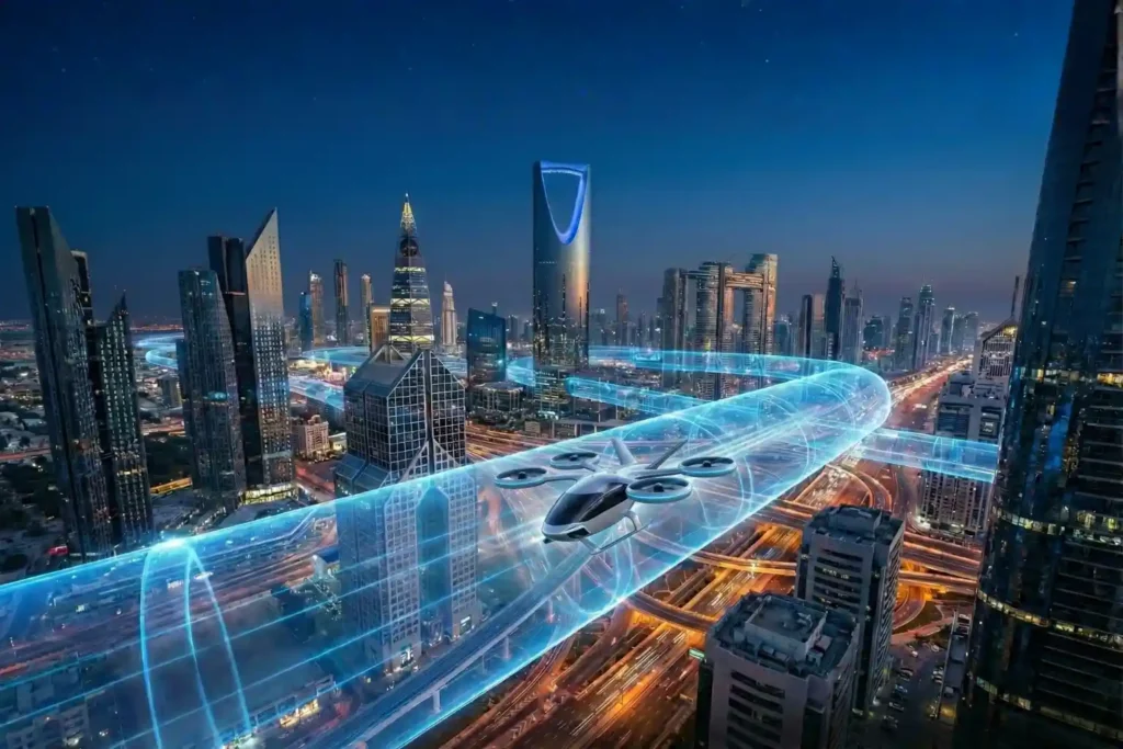
لعقود من الزمن، نظرنا إلى السماء فوق مدننا على أنها فراغ مفتوح وغير منظم. بينما أصبحت طرقنا مزدحمة ووصلت بنيتنا التحتية على مستوى الأرض إلى حدودها الفيزيائية، ظل المجال الجوي “الحدود النهائية” للنقل الحضري. ومع ذلك، بينما نتقدم في عام 2026، يتم ملء هذا الفراغ. تحدث ثورة هادئة للتو [...]
