How Drone Topographic Mapping Captured 124 km² in 1 Month
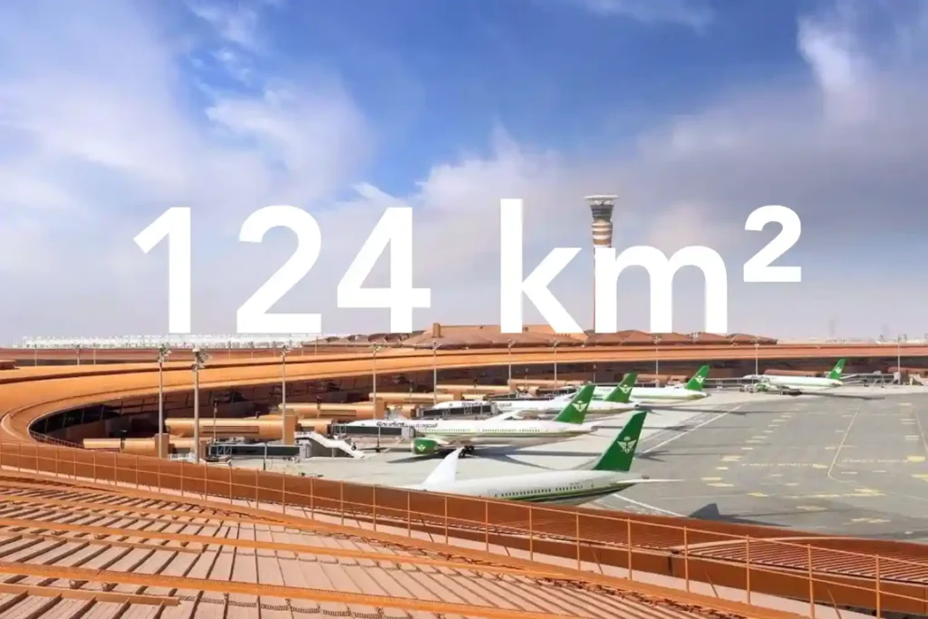
Every decision in a sewer upgrade or drainage expansion depends on the fidelity of the ground surface you hand to designers. In a dense urban corridor next to an international airport, conventional total station and GNSS traverses face line-of-sight gaps and obstruction bias that create uneven accuracy and patchy coverage. That risk is real in […]
How DJI Dock 3 Saves City Surveillance Budget by 30%

Capturing the Smart City Challenge The growth of modern cities is accelerating at a scale that challenges traditional infrastructure. By 2050, over 68% of the global population is expected to live in urban centers, with cities like Riyadh, Dubai, and Jeddah already experiencing rapid expansion. This growth introduces a complex mix of challenges: Population Density: […]
Cut Survey Labor Costs by Up to 60% with High-Accuracy Drone Surveys
Precision from the Ground Up A High-Accuracy Drone Survey is the foundation for efficient solar and wind energy projects. In renewable development, the land beneath your infrastructure determines how much energy you generate and how much profit you keep. For solar farms, even small slope errors can reduce sunlight capture. A misalignment of just a […]
How a Drone Topographic Survey Cuts Renewable Energy Site Prep Time by Up to 90%

In renewable energy development, the efficiency of a solar farm or wind park begins long before the first panel or turbine is installed. It starts with the precision of the terrain data. Even minor errors in elevation, slope, or site orientation can lead to long-term energy losses, unnecessary maintenance costs, and reduced return on investment. […]
Why 16.5% Market Growth in MEA Demands Smarter Drone Ground Support Now

The commercial drone market in the Middle East & Africa (MEA) is entering a phase of rapid expansion valued at $1.60 billion in 2023 and projected to nearly triple to $4.65 billion by 2030, growing at a CAGR of 16.5% from 2024 onward. This surge reflects increasing reliance on drone technology across industries such as […]
Retail Drone Delivery: Solving Last-Mile Logistics

Retail drone delivery operations are transforming the last mile of the supply chain—a stage traditionally known for being the most expensive and inefficient. As e-commerce continues to expand, retailers face growing pressure to deliver goods faster while keeping costs low. Conventional delivery methods struggle to meet this demand due to road congestion, fuel costs, and […]
How Drone Delivery in Retail Doesn’t Only Ship Your Shopping

Drone delivery in retail is no longer a futuristic concept; it’s happening right now. As customer expectations shift toward faster, same-day fulfillment, retailers are turning to UAV technology to close the gap between warehouses and front doors. The last mile, historically the slowest and most expensive part of the delivery chain, is being reimagined through […]
Drone Applications for Environmental: From Desertification to Disaster Response

Drone applications for environmental management are rapidly redefining how industries, governments, and conservation groups address pressing ecological challenges. As Saudi Arabia and the broader MENA region face accelerating climate risks from desertification to greenhouse gas emissions, there’s a critical need for scalable, technology-driven solutions. Drones now serve as force multipliers in this mission, combining aerial […]
Scaling Your Drone Fleet: Four Pillars for Pilots

Infrastructure managers often start small. One-off flights to inspect a bridge or survey an oil pipeline. Yet, when the time comes to expand, they encounter fragmented procedures, regulatory hurdles, and interoperability gaps. Scaling drone fleet capabilities provides the answer: a repeatable, secure, and high-impact program that spans dozens of assets without sacrificing quality or compliance. […]
How Drones Reduce Mining Survey Time in A Day

Reduce mining survey time has become critical as exploration teams tackle vast, remote concessions under tight budgets and schedules. Traditional ground surveys require clearing corridors, placing GNSS markers, and drilling dozens of test bores—often taking weeks and costing tens of thousands per square kilometer. Take a look at our team in Indonesia, showcasing this transformation […]