The Urban Data Gap
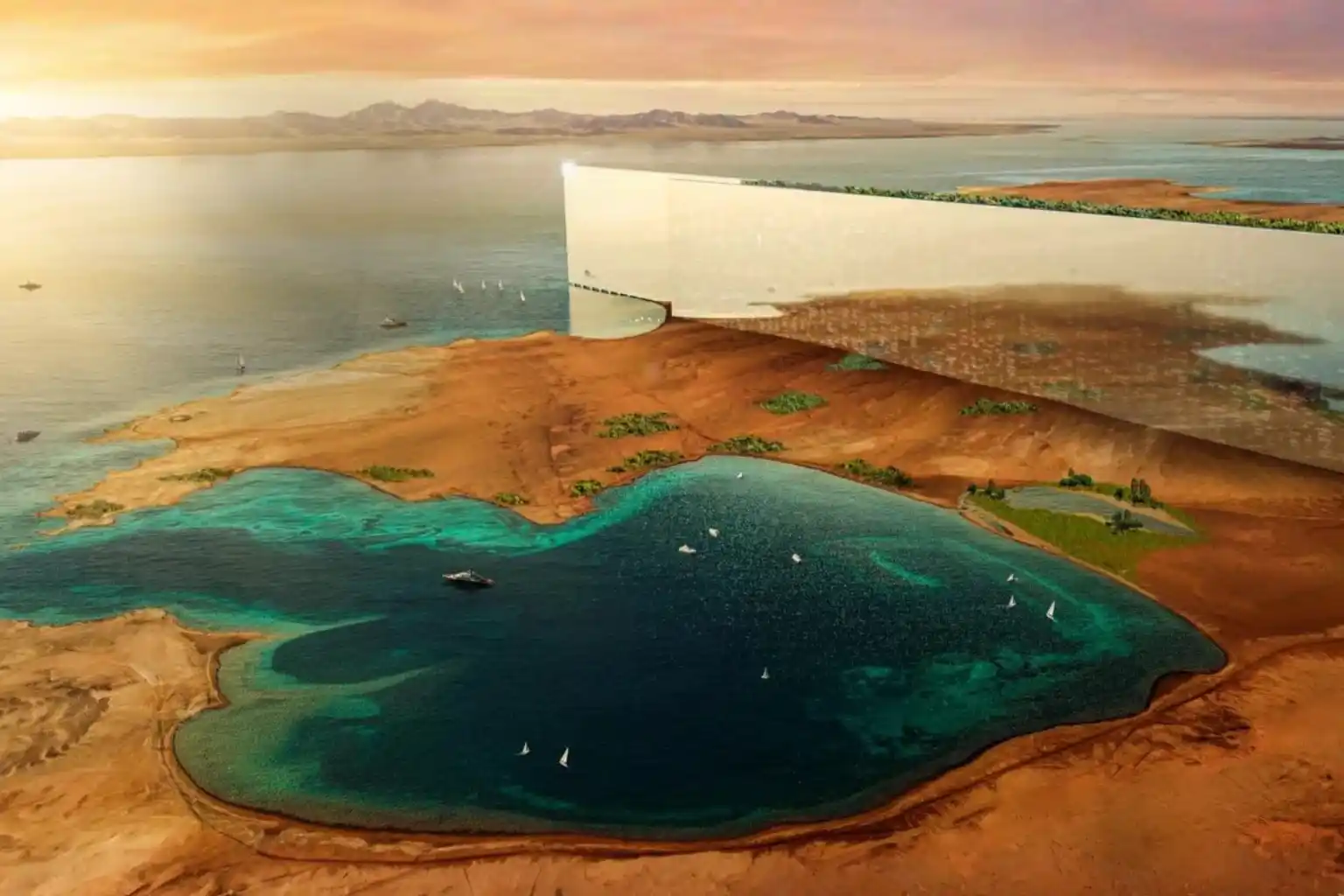
Smart cities like NEOM or Riyadh are not just collections of concrete and glass. They are complex, living systems that breathe, move, and consume energy. Managing such complexity requires real-time intelligence. Yet, many city planners still rely on static ground surveys and outdated maps. They cannot see how a new skyscraper might block airflow or how a road expansion will truly affect traffic until construction is finished. This data gap creates a blind spot that leads to costly errors.
The solution lies in the sky. The low altitude economy, the active layer of airspace below 1,000 feet offers a continuous stream of high-resolution aerial data. This data is the fuel that builds the essential digital twin infrastructure for modern urban management. By moving from static maps to dynamic aerial insights, we can predict the future of our cities before we pour the first cubic meter of concrete.
Capturing the City in High-Definition
To manage a smart city, you must first measure it. Drones act as the sensory layer of the modern metropolis, capturing the physical world in minute detail.
I. The Aerial Sensor Network
We deploy drones equipped with advanced remote sensing toolkits. These are not just cameras; they are sophisticated instruments. LiDAR sensors shoot laser pulses to measure the exact height of buildings and trees. Thermal cameras detect heat leaks in pipelines and buildings. Multispectral sensors analyze the health of urban green spaces. This network captures the physical city with a level of detail that ground crews simply cannot match.
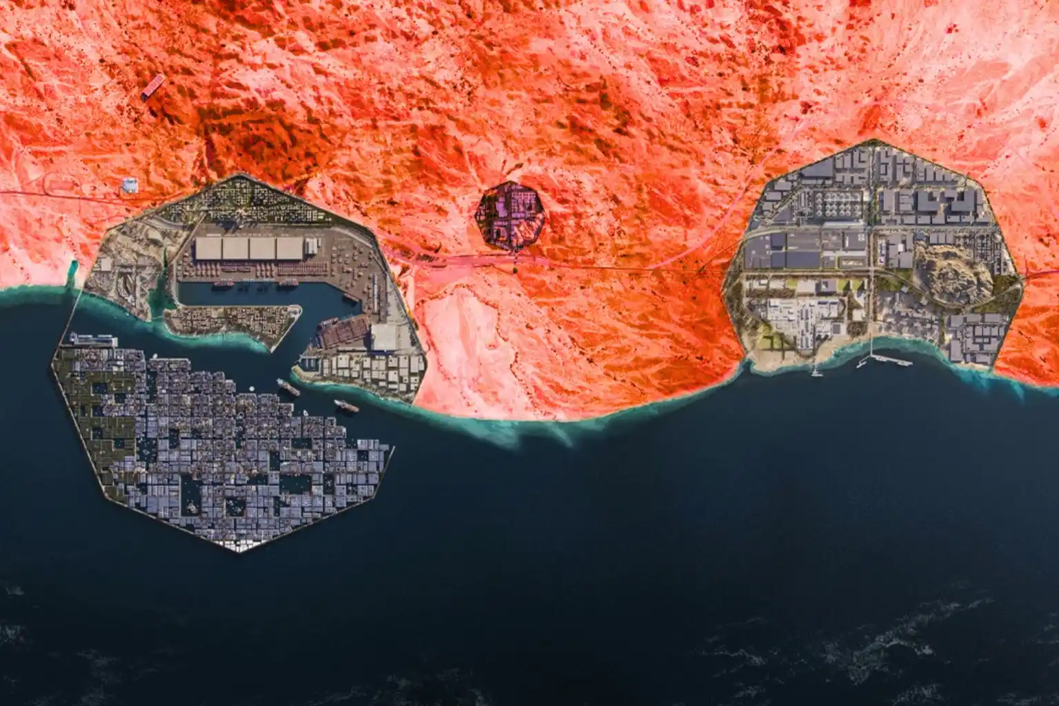
II. 3D City Modeling and Integration
This raw data is transformed into precise 3D models. We map every street corner, utility pole, and building facade. This creates the accurate geometric base of your digital twin infrastructure. But data alone is not enough. It must be organized. We build high-resolution maps and GIS databases to store this influx of information. The critical step is integration: ensuring data flows seamlessly from the drone to the database. This creates a “living” map that updates constantly, rather than a static snapshot that expires in a month.
Simulating the Future
When you have a living digital model, you gain the power of simulation. This is where data turns into decision-making power for city leaders.
III. Urban Simulation and Planning
Digital twin infrastructure allows planners to test ideas in a virtual world. You can simulate traffic flow during rush hour to test a new intersection design. You can model wind patterns to see how a new tower will affect pedestrian comfort. You can even simulate energy usage across a district to optimize the power grid. This predictive capability removes the guesswork from urban planning.
IV. Environmental and Project Management
The benefits extend to the environment. Drones monitor air quality sensors and detect urban “heat islands” areas that become dangerously hot. This data helps planners design cooler, healthier parks and living spaces. For the massive giga-projects driving Vision 2030, speed is everything. Aerial surveys track construction progress day by day. Project managers can overlay the digital plan onto the real-world progress to catch errors early. This keeps projects on schedule and saves millions in rework costs.
Building the Digital Foundation
The transition to a smart city requires a consistent, reliable data pipeline. The low altitude economy provides the speed and cost-efficiency needed to maintain a live digital twin infrastructure. It turns the sky into a digital asset that serves the city on the ground.
Don’t plan your city on outdated maps. Partner with Terra Drone Arabia to build your digital foundation. We invite urban developers and government entities to claim a FREE 3-month progress monitoring period on a key development site. Experience the power of live aerial intelligence and start building your future today.