Shahed-136: Affordable Protection for Strategic Sites

The modern battlefield is undergoing a rapid and permanent transformation. The Shahed-136 has transitioned from a niche experimental tool into what experts call a “single reliable weapon” for asymmetric warfare. These slow-moving loitering munitions are designed for one purpose: to strike deep into enemy territory with high precision. They have moved the front lines away […]
Owning A Drone vs Hiring a Vendor: Which One Do You Actually Need?

Many business owners see the price tag of a high-end drone and think that is the only cost they need to worry about. But buying a professional drone is like looking at an iceberg. The purchase price is just the small part you see above the water. Beneath the surface is a massive collection of […]
The Complete DJI Enterprise Software Guide: From Data to Intel

Drones alone are no longer enough for operational purposes. While a high-performance aircraft is the “muscle” of the operation, it is merely a vehicle for sensors. To truly unlock value, reliable software is needed to process large amounts of data acquired during field missions. The complexity of modern infrastructure means that “one size fits all” […]
Drone Battery Storage & Safety: The Essential Guide

In recent years, lithium-ion battery incidents have surged globally, with reports showing a 17% increase in related fires due to mishandling during storage and charging. A single lithium battery failure can trigger “thermal runaway,” a catastrophic chain reaction where temperatures spike from 100°C to over 1,000°C in seconds. Alarmingly, over 50% of these fires occur […]
FJD Trion Series: The GNSS Ecosystem for Every Operational Frontier

In 2026, centimeter-level accuracy is no longer a luxury, it is the prerequisite for the modern industrial site. Whether automating a tractor for row-crop optimization, guiding an excavator on a complex construction project, or deploying autonomous robotic mowers, high-precision geospatial data serves as the invisible backbone of efficiency. However, the modern operational environment is multi-faceted. […]
Cloud-First Mapping: Accelerating Construction Timelines with ArcGIS Online and ArcGIS Enterprise
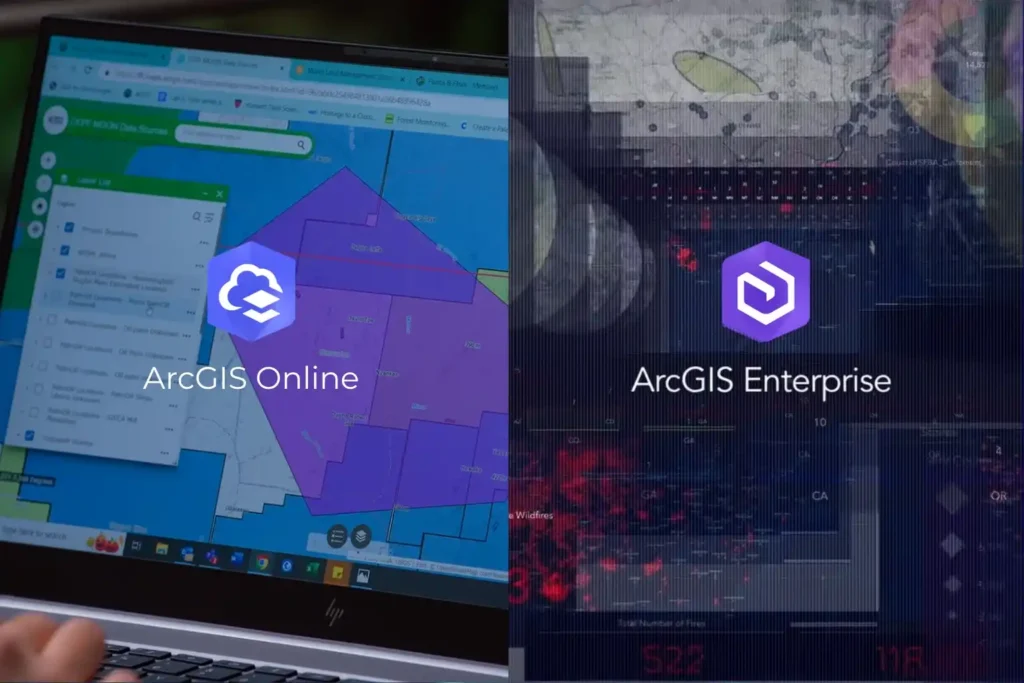
Every drone mission, whether it is an inspection of a solar farm in NEOM or a volumetric survey in the Empty Quarter ends with a massive influx of data. Thousands of images, high-density point clouds, and thermal layers require a “home.” Without a robust platform to organize and visualize this information, your drone program is […]
ROV-Based Monitoring for Marine Infrastructure and Coastal Inspection Assets

The Challenge Beneath the Surface The foundations of the MENA economy—jetties, bridges, seawalls, port facilities, and offshore energy platforms—rely on submerged infrastructure. These assets face a brutal, unseen enemy: the marine environment. Constant exposure to seawater, which is highly corrosive, leads to material loss. This structural decay is worsened by biofouling—the rapid growth of marine […]
Drones as a Pillar of Vision 2030: Integrating National Strategy and Unmanned Aerial Systems

Saudi Arabia’s Vision 2030 is one of the most ambitious transformation programs in the world, aiming to diversify the economy, empower new industries, and deliver smarter, more sustainable cities. Achieving these goals requires advanced digital technologies, and drones are quickly proving themselves to be a pillar of this national strategy. Globally, drones have reshaped industries […]
Advance Your Horizons: A Guide to Drone Career Path in 2025

The drone career path is no longer an emerging concept, it’s a well-defined route to high-value roles across industries that rely on precision, efficiency, and innovation. From flare stack inspections in oil & gas to aerial mapping in urban planning, drones have become a central part of modern operations. As we step into 2025, UAV […]
Drones for Industrial Inspections: Transforming Asset Management

Drones for industrial inspections are rapidly redefining how organizations manage, monitor, and safeguard critical assets. Across sectors such as oil and gas, power generation, infrastructure, and mining, inspections are not only vital for ensuring operational safety, regulatory compliance, and efficiency, but also for preserving asset longevity and optimizing lifecycle management in heavy industries. Regular inspections […]