Saudi Arabia is building the future, investing heavily in monumental projects like NEOM, The Line, and Red Sea Global. These megaprojects carry an immense price tag and an equally immense demand for speed and precision. However, construction starts with Topographic Mapping, and here lies a critical problem. Conventional surveying methods, which rely on manual teams and old technology, cannot keep up with these unprecedented timelines.
These traditional approaches, using physical measuring tools and manual GPS are slow, costly, and inherently risky for the workers. Surveying a large industrial area can take a project six months just to gather the initial ground data. This unacceptable delay severely hampers the entire construction schedule. These megaprojects cannot afford a long “time-to-data” lag. They urgently need a solution that can accelerate the process, minimize risk, and deliver data instantly. This transformation requires a complete overhaul of how data is gathered and used.
This urgent need for high-quality information is the driving force behind the demand for Geospatial Intelligence for Smart City development.
This strategic challenge requires a transformative solution: modern Geospatial Intelligence for Smart City platforms.
The Reality Capture Revolution: Drones as the Geospatial Engine
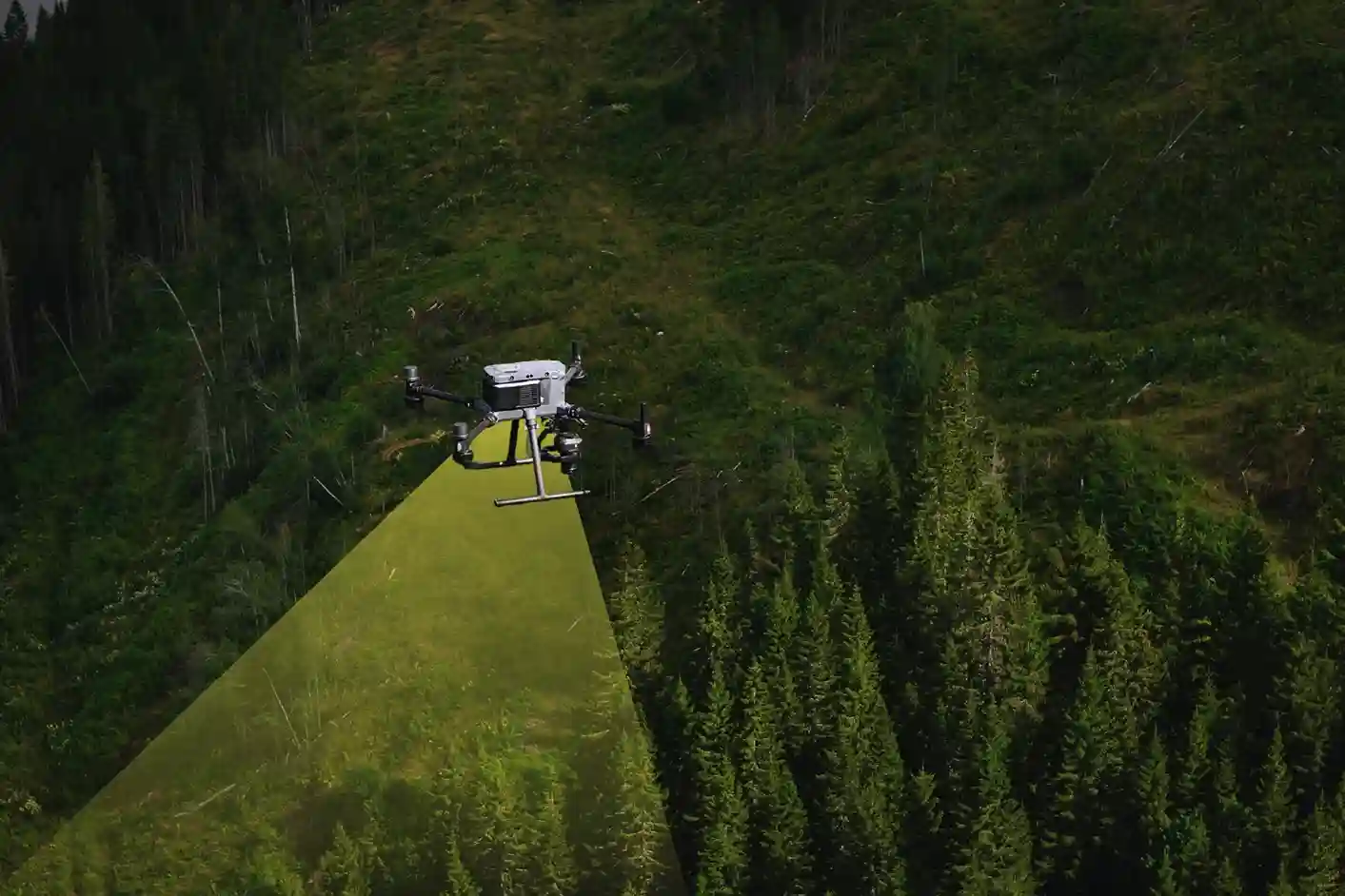
The only way to break the six-month bottleneck and meet the aggressive timelines of Vision 2030 is through Drone-Based Reality Capture. This technology has moved past being a niche tool; it is now the essential geospatial engine for all major infrastructure development in the region.
Drones, equipped with advanced sensors, capture millions of data points per second from the air. This aerial perspective allows specialized providers like Terra Drone Arabia to completely bypass the physical limitations of ground teams. By replacing manual processes with automated flight paths and rapid data acquisition, we drastically reduce the time spent in the field. This revolutionary approach allows us to overcome the time-to-data constraint, successfully achieving up to a 50℅reduction in the time needed for initial topographic surveys.
This speed does not come at the cost of accuracy. Instead, the density and resolution of the captured data surpass what manual methods can deliver. This efficient data collection process ensures that every project starts with a perfect, verifiable digital foundation. This Geospatial Intelligence for Smart City planning gives engineers the confidence they need to start design and construction faster.
LiDAR vs. Photogrammetry: Capturing Reality in High-Fidelity
Effective reality capture for these multi-billion-dollar projects relies on the combined power of two complementary sensing technologies: LiDAR and Photogrammetry. Neither technology alone provides the complete picture; their integration is what delivers high-fidelity Geospatial Intelligence for Smart City development.
LiDAR: The Geometric Scanner
- Function: LiDAR (Light Detection and Ranging) is an active sensor that sends millions of laser pulses to the ground, precisely measuring the distance and elevation.
- Value: This technology is essential for generating the bare-earth geometry of the terrain. Critically, LiDAR pulses can penetrate through light vegetation and foliage. This means that even in areas with trees or scrub, engineers receive an accurate Digital Terrain Model (DTM), which is impossible to achieve efficiently with camera-based surveying.
- Proprietary Edge: Using proven systems like Terra LiDAR One gives us precise control over the data quality, ensuring the geometric integrity required for detailed civil engineering design.
Photogrammetry: The Visual Engine
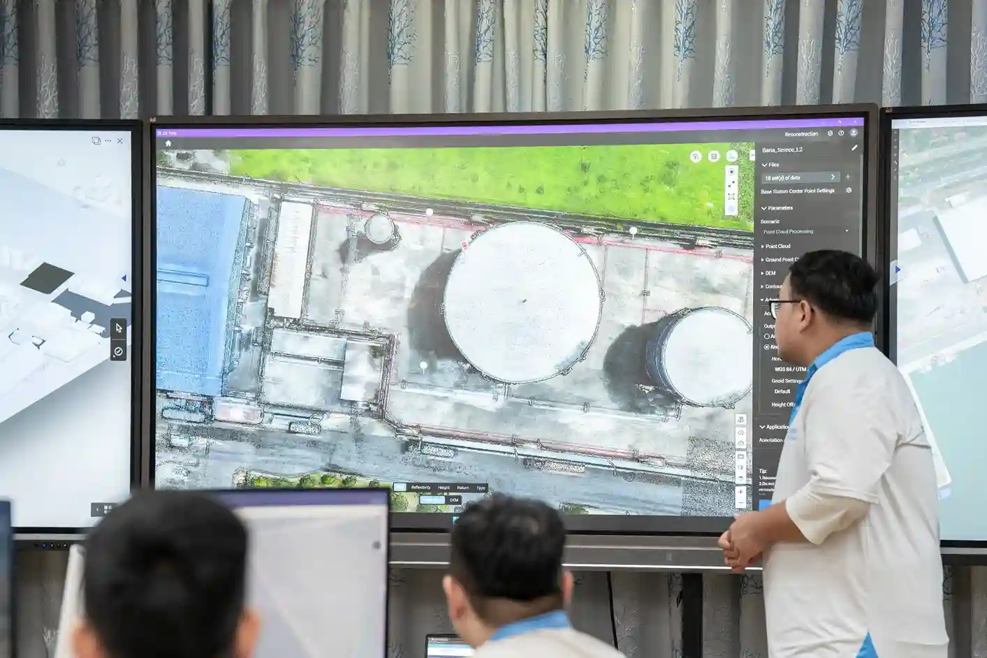
- Function: Photogrammetry captures thousands of high-resolution, overlapping images using a camera. Software stitches these images together to create a visual, textured 3D model and a seamless Orthomosaic Map.
- Value: This process delivers the rich visual texture and realistic context needed for stakeholder communication and detailed visual review. The Orthomosaic Map is a geometrically corrected, true-to-scale visual record of the entire site.
- Accuracy Assurance: When performed with an RTK (Real-Time Kinematic) drone, the data is accurately positioned at the centimeter level, ensuring that the visual map perfectly aligns with the LiDAR geometry.
Building the Living Digital Twin: The Foundation for Smart Operations
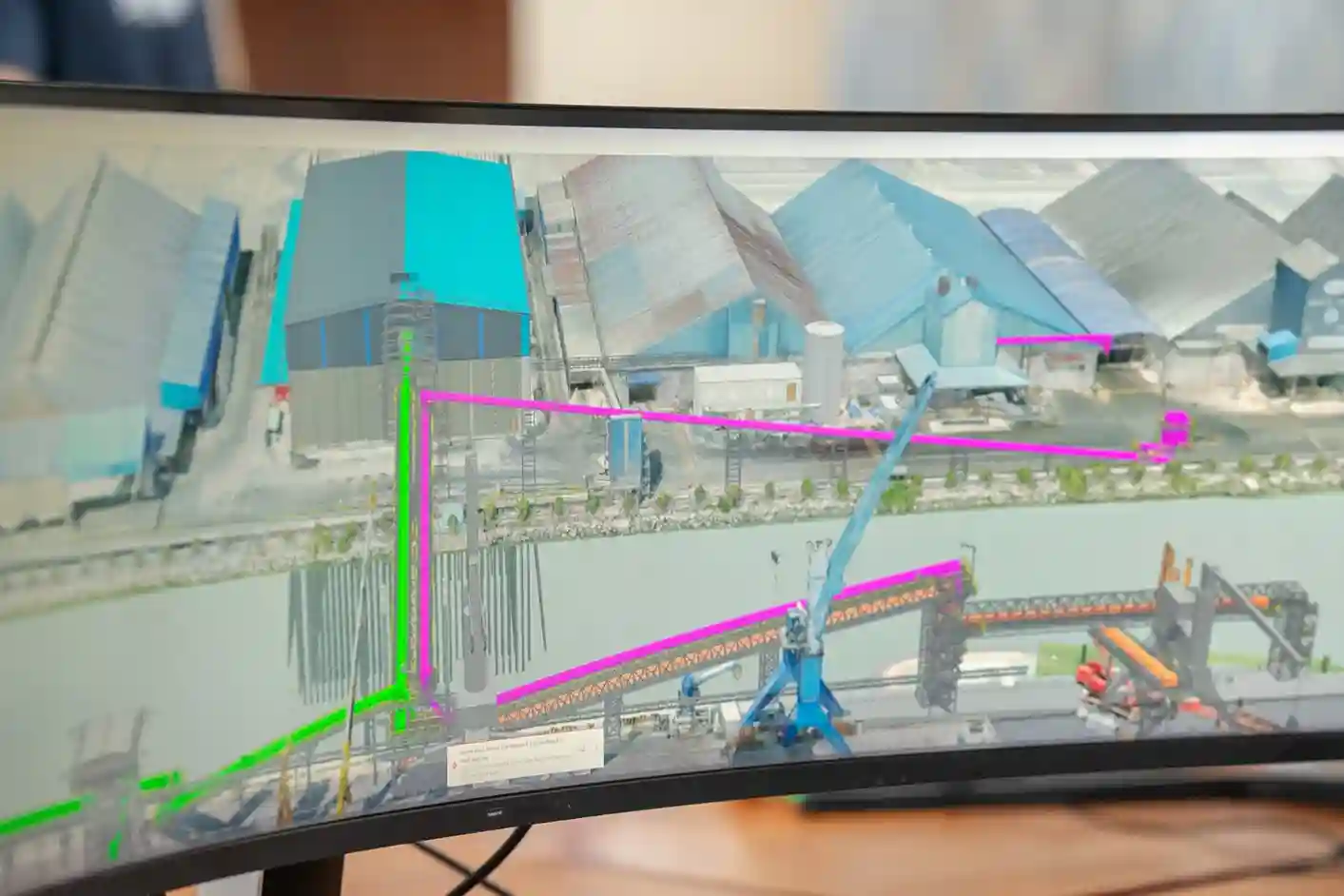
The ultimate goal of gathering all this high-fidelity data is not just to create maps, but to create a Digital Twin. This Digital Twin is a complete, virtual replica of the physical highway, city, or industrial plant.
Centimeter-accurate, drone-captured data is the essential, living foundation for these digital twins. The data allows engineers to move beyond static planning documents and into a dynamic, simulated environment.
- Simulating the Future: Once the Digital Twin is built with perfect geometry, city planners and asset managers can use it to simulate real-world events. They can test how a new drainage system performs during a flash flood or predict how pavement will degrade under different traffic loads
- Managing Complexity: For large, interconnected projects like NEOM, the Digital Twin acts as a command center. It integrates live data from sensors, construction progress updates, and maintenance schedules into a single, comprehensive view. This ensures all parts of the future smart city operate cohesively and efficiently. The foundation of this system is robust, up-to-date Geospatial Intelligence for Smart City development.
From Planning to Integrity: Applications Across the Project Lifecycle
The value of high-quality Geospatial Intelligence for Smart City projects is realized across every single phase of development, offering measurable time and cost savings.
Pre-Construction: Accelerating Earthwork
- Rapid Topography: Initial drone surveys quickly deliver the DTM and high-resolution contour maps required to commence engineering design, drastically shortening the project’s planning phase.
- Earthworks Optimization: The precise DTM data allows for accurate Volumetric Analysis and Cut-and-Fill calculations. This means contractors know exactly how much soil to move, preventing expensive guesswork and optimizing material logistics.
- BIM Integration: Survey data integrates immediately into the Building Information Modeling (BIM) software, accelerating the design timeline and allowing for immediate clash detection.
Construction: Monitoring and Quality Control
- Real-time Monitoring: Drones fly frequent, automated missions to track physical progress against the project schedule. This creates an objective, time-stamped record of construction for transparency and contract validation.
- Design Compliance: The captured 3D models are digitally compared to the original design plans. This allows site managers to catch conflicts and discrepancies early, reducing costly rework.
Post-Construction: Infrastructure Integrity
- Structural Health Checks: Drones perform non-contact integrity checks on critical assets. They fly beneath bridges or around industrial structures to scan for cracks, corrosion, and material defects. This reduces inspection time by up to 4 times compared to manual methods.
- UT Inspection: Drones equipped with specialized probes can perform Ultrasonic Thickness (UT) Inspection on assets like storage tanks, checking for metal thinning without requiring dangerous human entry or scaffolding.
- Confined Space Inspection: Using smaller, specialized drones, we inspect dangerous areas like boilers and storage tank interiors. This eliminates the risk to personnel and minimizes operational shutdown time.
Addressing KSA’s Unique Challenges: Coastal and Subsurface Mapping
Saudi Arabia’s giga-projects often involve complex terrain and unique environmental challenges that require specialized geospatial intelligence for smart city services.
- Coastal Mapping (Bathymetry): Projects like Red Sea Global require construction in near-shore and coastal areas. Drones can be adapted to perform Bathymetry (measuring water depth and seabed topography) in shallow waters, providing essential data for marine infrastructure planning and environmental monitoring.
- Subsurface Mapping (GPR): Before digging begins, accurate utility data is crucial. We use Underground Surveys employing Ground Penetrating Radar (GPR) to map the location of existing cables, pipelines, and buried infrastructure. Integrating this subsurface data into the 3D model prevents accidental strikes during construction, saving millions in damages and delays.
Partnering for Vision 2030 Excellence
The transition to a fully digital workflow requires more than just buying a drone; it demands technical expertise, specialized software, and deep local compliance knowledge.
We stands as the established, certified partner in the MENA region. We combine world-class technology (like our proprietary Terra LiDAR One systems) with the local operational know-how to ensure compliance with Saudi regulatory requirements. We are a Registered Vendor for key entities like NEOM, Red Sea Global, and MA’ADEN. This local status and technical capacity accelerate your project’s digital strategy.
We possess the comprehensive technical capability to turn raw field data into actionable Geospatial Intelligence for Smart City design and operation.
Take action today to secure your project’s digital foundation. We invite you to partner with our certified local team. Contact us now to discuss how our integrated reality capture solutions can accelerate your design phase, minimize rework, and build a safer, smarter infrastructure network.