Terra Drone Arabia is the Middle East arm of شركة تيرا درون, one of the world’s largest industrial drone service groups. Headquartered in Riyadh with a second office in Dhahran Techno Valley, we deliver advanced drone, geospatial, and data intelligence solutions across Saudi Arabia’s most critical sectors.
We go beyond drone flights. We provide end-to-end geospatial solutions integrating aerial, terrestrial, and subsurface data with professional 3D modeling, digital twinning, and GIS platforms to support engineering, inspection, and infrastructure decision-making at scale.
Countries Operated
0+
Years of Operations
0+
Local Presence,
Regional Focus
Established to support Saudi Vision 2030, Terra Drone Arabia prioritizes localization of drone technology, development of Saudi talent, and operational compliance. We are not just a service provider, we are a committed partner in the Saudi Arabia’s digital transformation.
Our mission is to serve as the region’s technology hub, supporting government entities, major asset owners, and EPC contractors with reliable, GACA-licensed geospatial intelligence that meets both local and international standards.
POWERED BY WORLD-CLASS TECHNOLOGY
خدمات الدرون
01
المساحة ورسم الخرائط
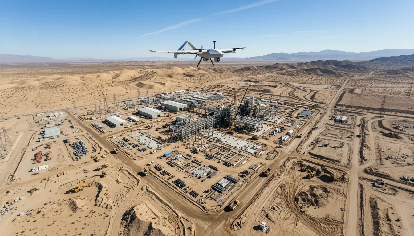
Get centimeter-accurate terrain data 10x faster. Our LiDAR and photogrammetry drones cover up to 15 km²/day, replacing weeks of manual surveying with days of precision mapping.
02
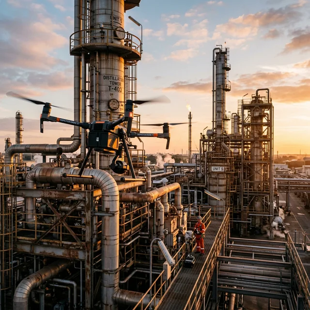
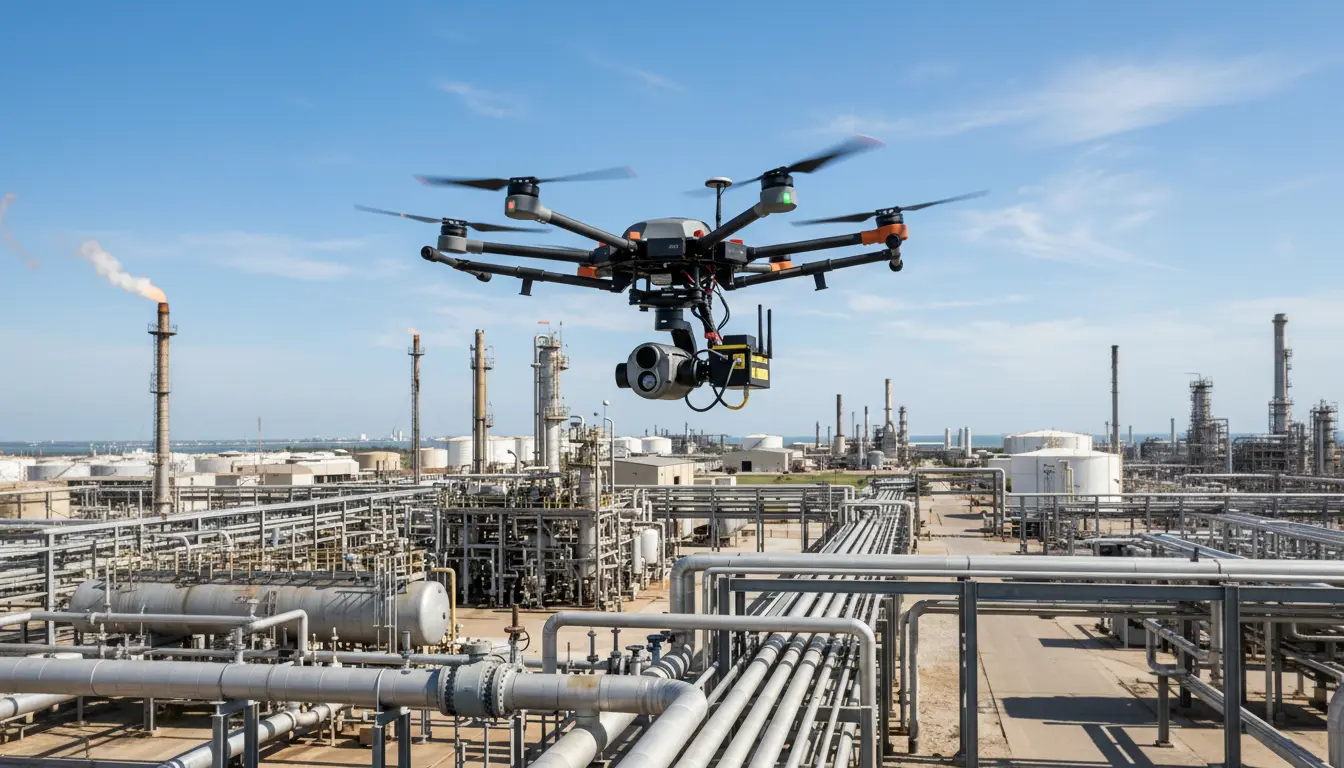
الفحص الصناعي
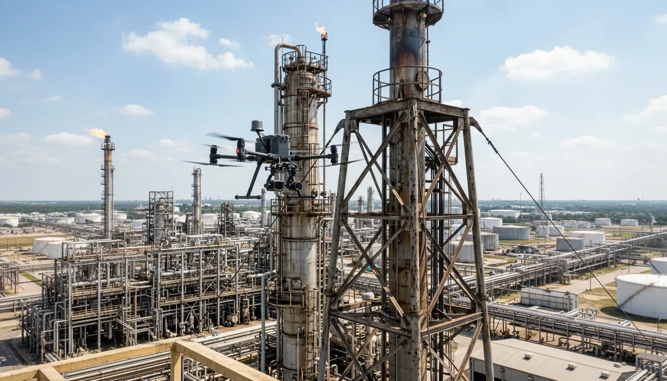
Inspect flare stacks, tanks, and towers without scaffolding or shutdown. Our drones capture sub-millimeter visual, thermal, and UT data while your plant keeps running.
03
Surveillance
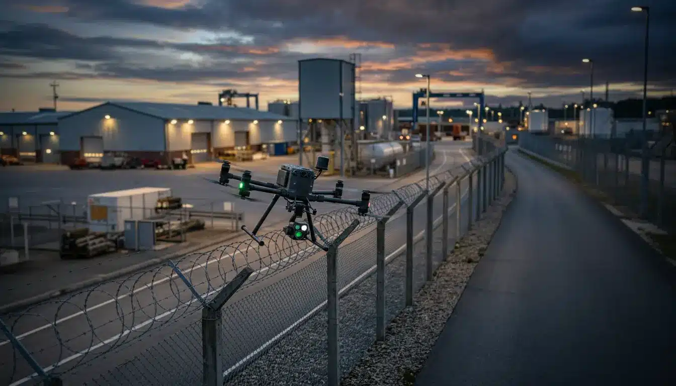
24/7 autonomous patrols that replace static CCTV blind spots. AI-powered detection for intrusions, fires, and safety violations with real-time alerts to your control room.
04
الرصد البيئي
Detect methane leaks and quantify emissions without entering hazardous zones. Get ESG-ready reports with ppm-level accuracy for regulatory compliance and sustainability audits.
05
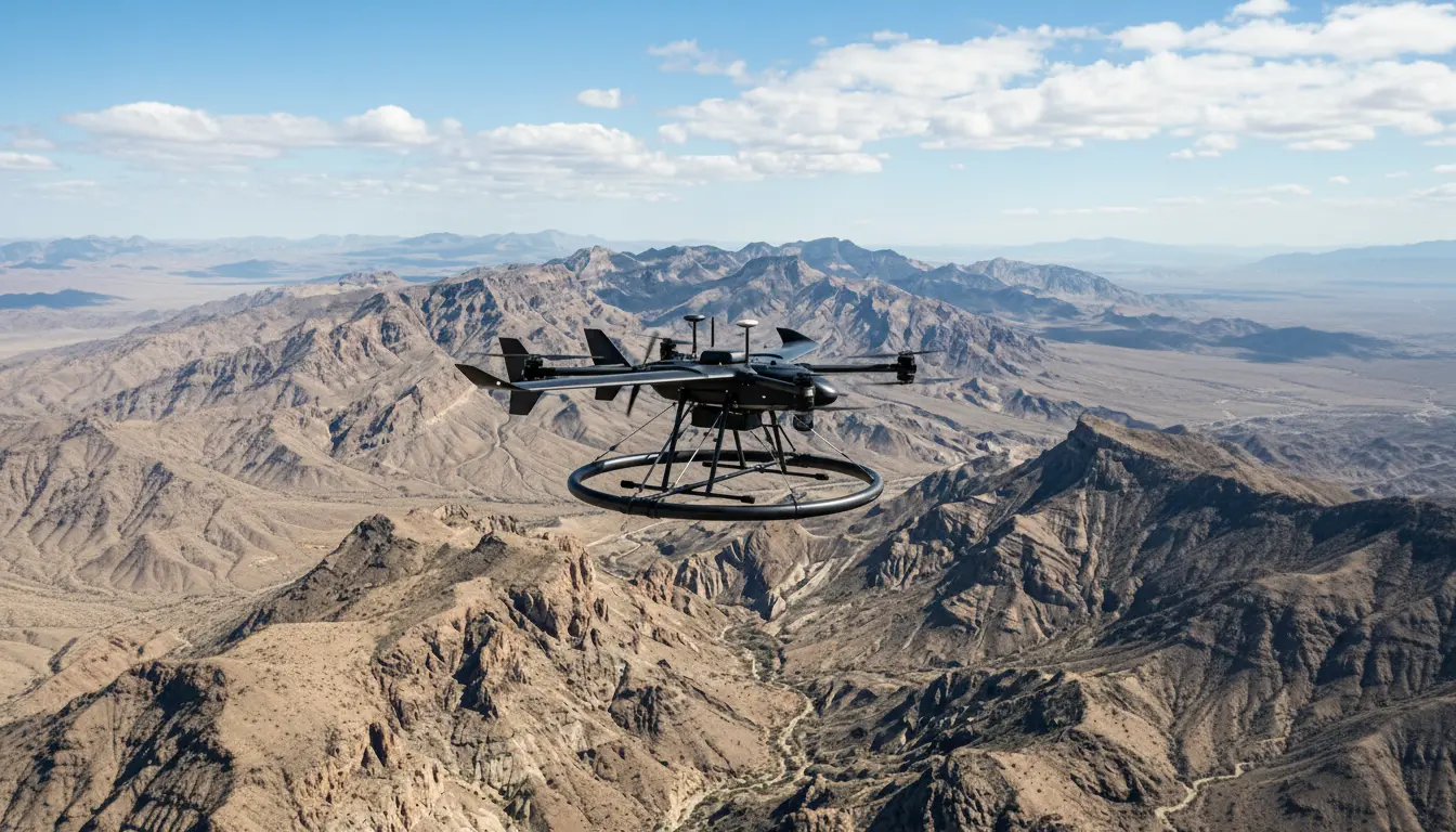
المسح الجيوفيزيائي
See what’s beneath the surface. Our airborne GPR and magnetometers detect buried utilities, voids, and mineral deposits covering terrain that ground crews can’t safely reach.
06
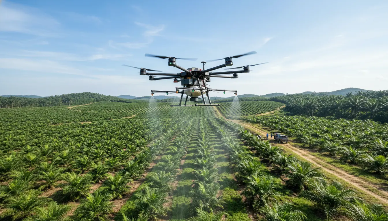
الخدمات الزراعية
Cut chemical usage by up to 30% with precision drone spraying. Detect crop stress early with multispectral imaging and NDVI analysis before it’s visible to the naked eye.
الخدمات الجيومكانية
01
جمع البيانات
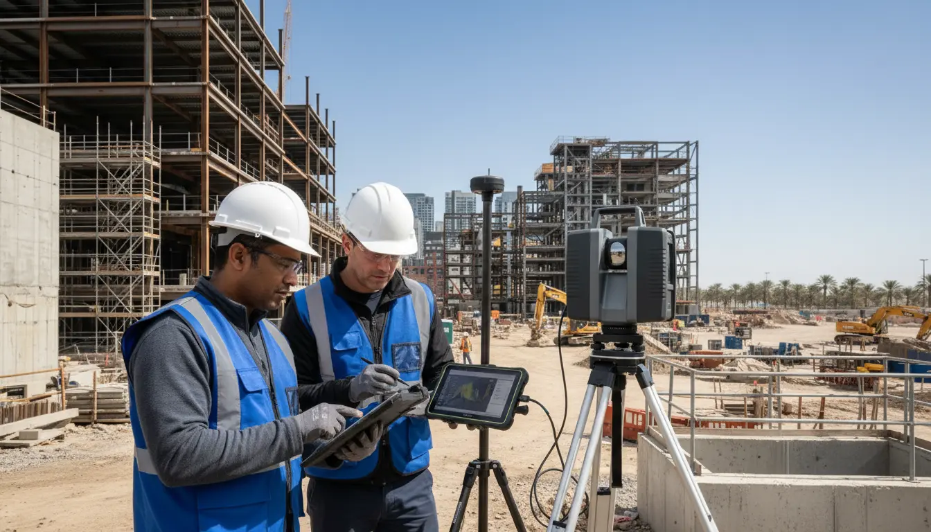
High-precision topographic, bathymetric, and underground utility surveys integrated with CAD/BIM workflows to deliver engineering-ready models without repeated site visits.
02
Remote Sensing & GIS
As an official ESRI partner, we transform satellite imagery and drone data into dynamic spatial intelligence, powering land use planning, asset management, and environmental monitoring.
Accuracy you can build on, Safety you can count on