كيف تعمل المسوحات الطبوغرافية بالدرون على تحسين الجداول الزمنية لمشاريع نقل الطاقة
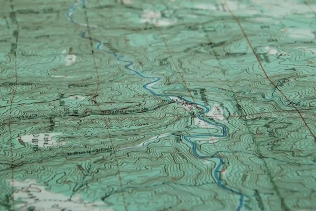
مسوحات الطائرات بدون طيار الطبوغرافية تُحدث تحولاً في كيفية رسم خرائط مشاريع نقل الطاقة وتنفيذها. مع تزايد الطلب على الطاقة المستهدف من رؤية المملكة 2030، يواجه مزودو الخدمات ومقاولون الضغط لتحسين جداول الإنشاء وتقليل تأخيرات التخطيط. الطرق التقليدية للمسح الأرضي، على الرغم من دقتها، غالباً ما تكون بطيئة، وتتطلب عمالة كثيفة، ومعرضة لـ [...]
