How Thermal Imaging Drones Cut Electricity Expenses
In Saudi Arabia’s extreme climate, keeping buildings cool is a constant struggle. Air conditioning is not just a comfort, it is a necessity that accounts for nearly 70% of total electricity consumption in the residential sector. When looking at the broader picture, the building sector is responsible for approximately 30% of the Kingdom’s total primary […]
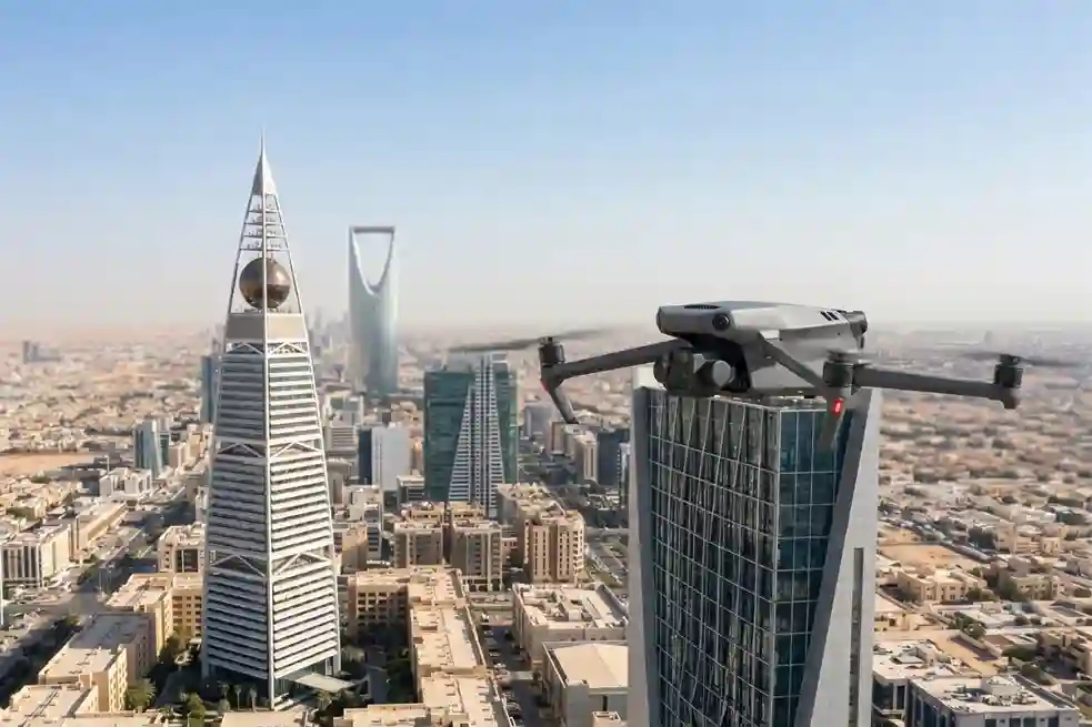
How DJI Dock 3 Cuts Solar Inspection Costs
Managing large energy sites often requires massive manual effort and high operational costs. A standard 100MW solar farm covers roughly 3.4 square kilometers and contains over 900,000 panels. Inspecting such a vast area manually can take a ground crew more than one full month to complete. A conventional ground crew of four to six people […]
How Quadruped Robot Inspects Extreme Industrial 24/7

As Saudi Arabia accelerates toward Vision 2030, the Kingdom’s energy sector is undergoing a profound metamorphosis. Leaders like Saudi Aramco and SABIC are moving beyond traditional maintenance toward a future defined by digital twins and unstaffed facilities. However, the bridge between a virtual model and a physical refinery is data—specifically, high-fidelity, real-time data collected from […]
Saving $1 Million Worth of Downtime with Drone-Based NDT

Drone-based non-destructive testing solutions (NDT) are redefining how critical infrastructure is inspected across high-risk, asset-intensive industries. Whether in oil & gas, petrochemical processing, power generation, or heavy manufacturing, the need for accurate, timely, and safe inspection of complex structures has never been more pressing. Non-Destructive Testing (NDT) refers to a range of inspection techniques used […]
Terra Drone Arabia Showcases Drone Solutions at NAP Tech 2025 to Advance Aramco’s Operational Excellence

Terra Drone Arabia recently participated in Saudi Aramco’s NAP Tech 2025, an event hosted by Saudi Aramco Northern Area Production (NAP) on May 13, 2025, in Tanajib, KSA. NAP Tech 2025 aimed to showcase the latest technological advancements and innovative solutions, providing a platform for networking, knowledge sharing, and collaboration among industry peers. Terra Drone […]
Drones for Industrial Inspections: Transforming Asset Management

Drones for industrial inspections are rapidly redefining how organizations manage, monitor, and safeguard critical assets. Across sectors such as oil and gas, power generation, infrastructure, and mining, inspections are not only vital for ensuring operational safety, regulatory compliance, and efficiency, but also for preserving asset longevity and optimizing lifecycle management in heavy industries. Regular inspections […]
Telecommunications: How Its Safety Inspection Can Be Enhanced

Telecommunications infrastructure plays a crucial role in modern society, and ensuring its safety is paramount. Telecom tower LiDAR inspections have emerged as a game-changer, enhancing the safety and accuracy of inspections. This blog explores how LiDAR technology integrated into drones is revolutionizing telecommunications inspections by providing high-precision data, enabling remote monitoring, and significantly reducing risks. […]
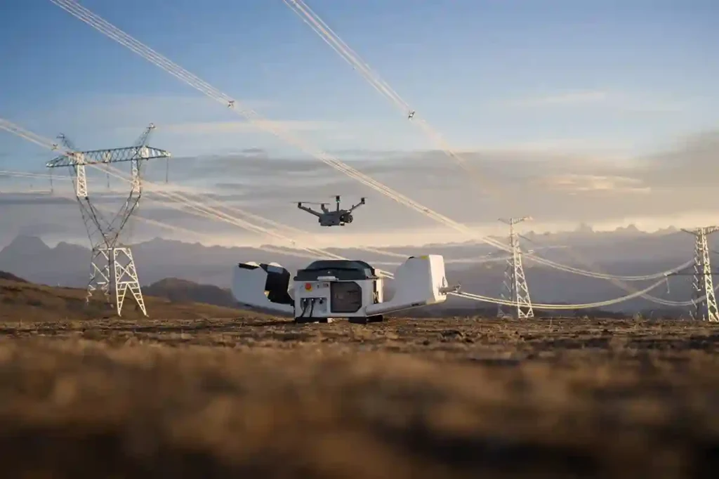
Powerline Inspection: Redefining How Its Utility Is Managed

Powerline inspection visual data collecting can be a lengthy process for several reasons, even with a large team involved. Here are the key factors that contribute: Scale and Scope of Power Grids: Power grids cover vast areas, often extending over thousands of kilometers with multiple branches and components. Inspecting every line, pole, transformer, and other […]
Enhancing Grid Stability with Drone Technology

Precision Monitoring with UAVs Drone grid stability is increasingly vital as energy companies deploy these aerial devices to ensure that their infrastructure operates reliably and efficiently. Drones have become crucial in maintaining the stability of electrical grids, offering an aerial advantage that ground-based inspections cannot match. As drone technology continues to advance, its implementation is […]
Drones in Energy Sector: Ensuring Infrastructure Integrity

Drones in the energy sector have become indispensable as global energy demand escalates, introducing innovative solutions for maintaining and managing the infrastructure that supports its production and distribution. In this context, drones, or unmanned aerial vehicles (UAVs), have emerged as a technological boon. By equipping the energy sector with aerial capabilities, drones not only streamline […]
