GACA Drone Regulations: The 2026 Permit Guide
In 2026, Saudi Arabia’s drone industry is a core part of the Kingdom’s digital transformation and Vision 2030 goals. Operating a drone professionally requires more than just a controller; it requires a multi-step legal framework. Following GACA regulations ensures that your business objectives are recognized as part of a safe and integrated airspace. This guide […]
How an Anti Drone System Finds Hidden Threats

Modern industrial sites face a serious risk from low-altitude drones that avoid traditional radar. These unauthorized drones can reach sensitive areas like oil refineries or power plants without being noticed. To stop them, an anti drone system must find these targets as early as possible. This requires moving away from loud sensors and using silent […]
Shahed-136: Affordable Protection for Strategic Sites

The modern battlefield is undergoing a rapid and permanent transformation. The Shahed-136 has transitioned from a niche experimental tool into what experts call a “single reliable weapon” for asymmetric warfare. These slow-moving loitering munitions are designed for one purpose: to strike deep into enemy territory with high precision. They have moved the front lines away […]
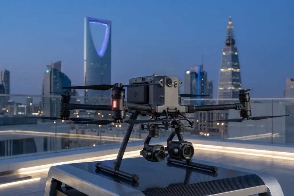
Owning A Drone vs Hiring a Vendor: Which One Do You Actually Need?

Many business owners see the price tag of a high-end drone and think that is the only cost they need to worry about. But buying a professional drone is like looking at an iceberg. The purchase price is just the small part you see above the water. Beneath the surface is a massive collection of […]
Drone Defense Overview: Exploring the Drone Detection Solution

The sky is becoming a busy place as commercial drones are now used for everything from delivery to photography. While most are harmless, the proliferation of these machines creates new risks for critical infrastructure like power plants and large public events. Traditional security cannot stop a threat that comes from above. This is why modern […]
The Complete DJI Enterprise Software Guide: From Data to Intel

Drones alone are no longer enough for operational purposes. While a high-performance aircraft is the “muscle” of the operation, it is merely a vehicle for sensors. To truly unlock value, reliable software is needed to process large amounts of data acquired during field missions. The complexity of modern infrastructure means that “one size fits all” […]
Drone Battery Storage & Safety: The Essential Guide

In recent years, lithium-ion battery incidents have surged globally, with reports showing a 17% increase in related fires due to mishandling during storage and charging. A single lithium battery failure can trigger “thermal runaway,” a catastrophic chain reaction where temperatures spike from 100°C to over 1,000°C in seconds. Alarmingly, over 50% of these fires occur […]
How to Spot Unknown Drones In Your Facilities in Real-Time

For modern oil and gas refineries, the threat from unauthorized drones is no longer theoretical. Whether it is industrial espionage, illegal photography, or potential physical interference, an unknown UAV in your airspace is a major security breach. However, refineries face a delicate challenge: many traditional drone defense systems use high-power radio signals that can interfere […]
How Drones are Keep Your Petrochemical Inspections On Track Without Risking Your Humans

In the petrochemical industry, traditional inspections are synonymous with high risk. For decades, checking a 50-meter flare stack or a massive crude oil storage tank meant sending humans into “Death Zones”—environments defined by hazardous atmospheres, confined spaces, and extreme heights. Despite strict ISO 45001 safety standards, manual inspections still rely on weeks of scaffolding and […]
Securing The Energy Asset: Why Active Anti-Drone Defense is Essential in 2026

The Middle East has long been a region defined by complex tensions and volatile geopolitics that threaten global social and economic stability. In such an unstable environment, the active protection of vital national assets, ranging from military installations and government hubs to critical energy infrastructure is no longer a luxury, but a prerequisite for national […]