The Development of Laheq Island: Tracking Modular Construction Progress on Remote Island
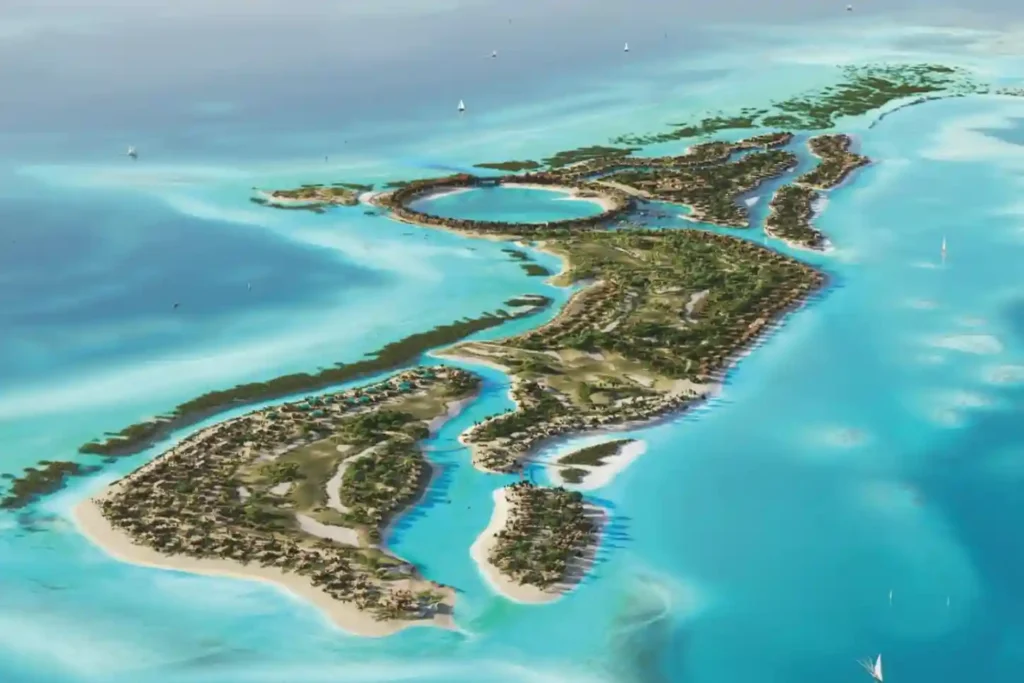
The international construction sector loses an estimated over SAR 6 trillion annually due to low efficiency and structural execution delays, with global sector productivity expanding at a low rate of just 0.4% per year. Remote, high-profile megaprojects have zero tolerance for these timeline extensions. A prime example is the 400-hectare luxury development on Laheq Island, […]
Tracking mass Earthwork for Large-Scale Industrial Pads
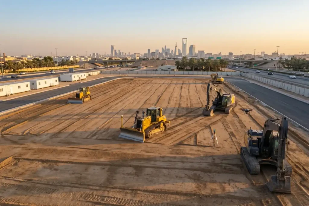
Preparing foundations for heavy industrial facilities involves extensive land preparation. For instance, leveling a single industrial pad measuring 400 by 400 meters requires grading a continuous surface area of 160,000 square meters. Managing earthwork at this scale introduces serious financial risks. Industrial research shows that 98% of megaprojects face cost overruns that exceed 30%, with […]
BIM Integration in Qiddiya City’s Future Sports Medical Centre
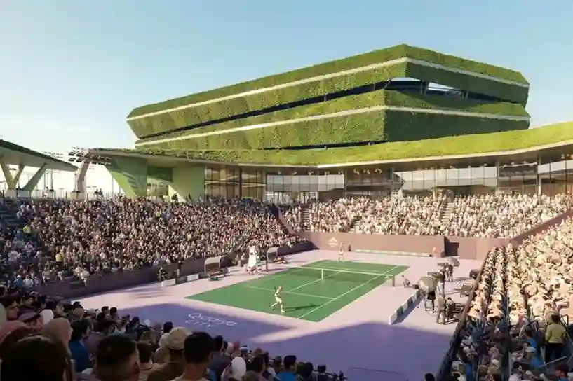
Establishing complex healthcare facilities in hyper-arid desert landscapes requires an extreme level of spatial precision before any ground is broken. In April 2026, the official agreement between Qiddiya Investment Company (QIC) and King Faisal Specialist Hospital & Research Centre (KFSH&RC) was finalized to establish a new specialized sports medical center. Developing a world-class clinical facility […]
Crop Monitoring: How Drones Prevent Urban Trees Drought
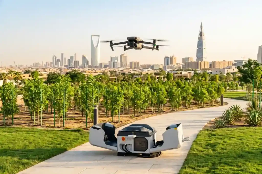
Riyadh’s extreme summer heat creates severe thermal stress, making massive urban forestry projects a critical challenge for local engineering teams. To combat this harsh climate baseline, the Green Riyadh initiative spans 545 square kilometers with a mandate to plant 7.5 million native, drought-resistant trees across the capital by 2030. According to environmental impact data, this […]
The Role of Drones in High-Rise Facade Inspections
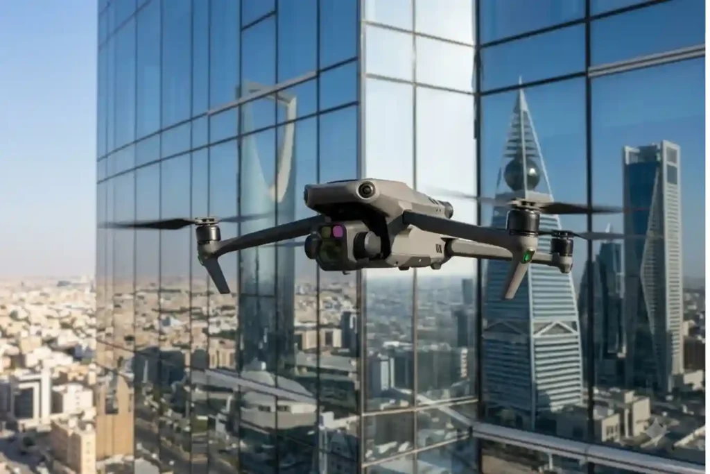
Traditional facade inspections are often stuck in the past. Facility managers usually rely on heavy scaffolding or rope-access teams to check for building damage. This manual approach is slow and carries high operational costs. It often delays critical repairs that are needed to protect the building’s structural health. While we previously explored how thermal imaging […]
Habitat Mapping for Bird Migration: Protecting Safe Stops
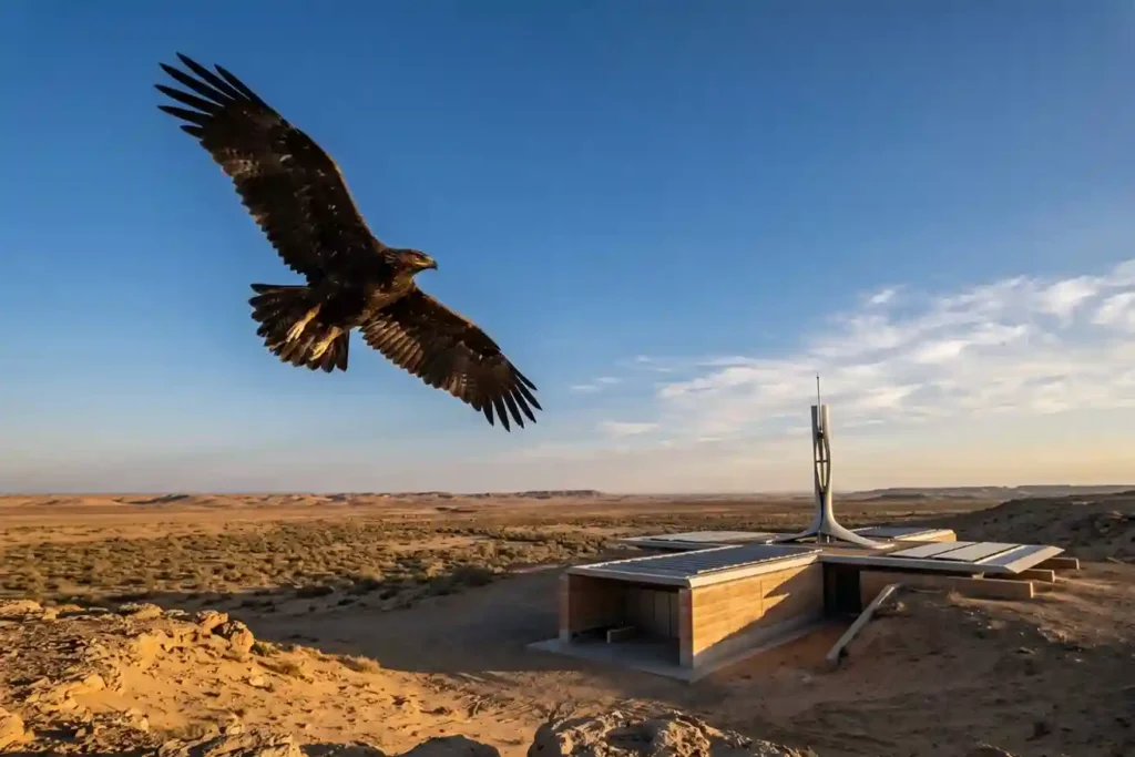
Every year, millions of birds cross continents to find better weather and food. As of May 2026, Saudi Arabia remains a vital safe haven on the African-Eurasian flyway, serving as a rest stop for these travelers. The Kingdom is home to over 500 bird species and hosts 14 out of the 15 species that are […]
GACA Drone Regulations: The 2026 Permit Guide
In 2026, Saudi Arabia’s drone industry is a core part of the Kingdom’s digital transformation and Vision 2030 goals. Operating a drone professionally requires more than just a controller; it requires a multi-step legal framework. Following GACA regulations ensures that your business objectives are recognized as part of a safe and integrated airspace. This guide […]
How DJI Dock 3 Cuts Solar Inspection Costs
Managing large energy sites often requires massive manual effort and high operational costs. A standard 100MW solar farm covers roughly 3.4 square kilometers and contains over 900,000 panels. Inspecting such a vast area manually can take a ground crew more than one full month to complete. A conventional ground crew of four to six people […]
Real-Time Traffic Management With Drones to End Road Jams
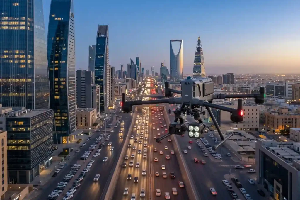
In rapidly growing cities like Riyadh and Jeddah, traffic congestion is more than a simple daily annoyance. It represents a significant drag on economic productivity and a hurdle to improving the general quality of life. The primary issue with current infrastructure is that most traffic lights operate on static, fixed timers. These systems are unable […]
Owning A Drone vs Hiring a Vendor: Which One Do You Actually Need?
Many business owners see the price tag of a high-end drone and think that is the only cost they need to worry about. But buying a professional drone is like looking at an iceberg. The purchase price is just the small part you see above the water. Beneath the surface is a massive collection of […]
