GACA Drone Regulations: The 2026 Permit Guide
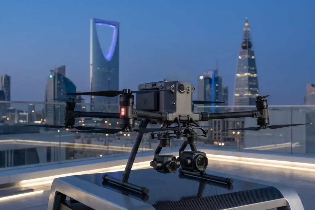
In 2026, Saudi Arabia’s drone industry is a core part of the Kingdom’s digital transformation and Vision 2030 goals. Operating a drone professionally requires more than just a controller; it requires a multi-step legal framework. Following GACA regulations ensures that your business objectives are recognized as part of a safe and integrated airspace. This guide […]
The Complete DJI Enterprise Software Guide: From Data to Intel

Drones alone are no longer enough for operational purposes. While a high-performance aircraft is the “muscle” of the operation, it is merely a vehicle for sensors. To truly unlock value, reliable software is needed to process large amounts of data acquired during field missions. The complexity of modern infrastructure means that “one size fits all” […]
Drone Battery Storage & Safety: The Essential Guide

In recent years, lithium-ion battery incidents have surged globally, with reports showing a 17% increase in related fires due to mishandling during storage and charging. A single lithium battery failure can trigger “thermal runaway,” a catastrophic chain reaction where temperatures spike from 100°C to over 1,000°C in seconds. Alarmingly, over 50% of these fires occur […]
Economy under 1,000 Feet: The Rise of LAE in Smart Cities

The Next Industrial Airspace Layer We often look at the sky and see empty space. However, a quiet revolution is happening just above our heads. This is the rise of the low altitude economy (LAE). This term refers to a new economic and operational domain occupying the airspace below 1,000 feet. It represents the next […]
Terra Drone Arabia Participates as Technical Partner in NUPCO’s Drone Initiative for Medical Supply During Hajj Season 1446H

Riyadh, Saudi Arabia – June 4, 2025 – Terra Drone Arabia, the local-arm of Terra Drone Corporation in Kingdom of Saudi Arabia, a leading provider of drone solutions, expressed its pride in participating as the technical partner and drone operator in a pioneering initiative launched by the National Unified Procurement Company (NUPCO), in collaboration with […]
Advance Your Horizons: A Guide to Drone Career Path in 2025

The drone career path is no longer an emerging concept, it’s a well-defined route to high-value roles across industries that rely on precision, efficiency, and innovation. From flare stack inspections in oil & gas to aerial mapping in urban planning, drones have become a central part of modern operations. As we step into 2025, UAV […]
Disaster Recovery Drones: Speeding Up Response Times

Disaster recovery drones are revolutionizing the rapid response protocols in the energy sector, especially following natural disasters. In the wake of such events, rapid response and efficient assessment are crucial for the recovery of energy infrastructure. Drones, or unmanned aerial vehicles (UAVs), are increasingly playing a pivotal role in these efforts, showcasing their capability to […]
How Drone for Oil Spill Combat is Changing the Game
The use of drone for oil spill detection and management is emerging as a revolutionary tool in environmental protection. Drones, equipped with advanced sensors and imaging capabilities, offer unique advantages in combating oil spills. This article explores how drones are reshaping the approach to oil spill management. Drone for Oil Spill Detection Timely detection of […]
