GACA Drone Regulations: The 2026 Permit Guide
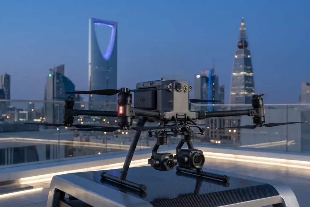
In 2026, Saudi Arabia’s drone industry is a core part of the Kingdom’s digital transformation and Vision 2030 goals. Operating a drone professionally requires more than just a controller; it requires a multi-step legal framework. Following GACA regulations ensures that your business objectives are recognized as part of a safe and integrated airspace. This guide […]
How an Anti Drone System Finds Hidden Threats

Modern industrial sites face a serious risk from low-altitude drones that avoid traditional radar. These unauthorized drones can reach sensitive areas like oil refineries or power plants without being noticed. To stop them, an anti drone system must find these targets as early as possible. This requires moving away from loud sensors and using silent […]
How DJI Dock 3 Cuts Solar Inspection Costs

Managing large energy sites often requires massive manual effort and high operational costs. A standard 100MW solar farm covers roughly 3.4 square kilometers and contains over 900,000 panels. Inspecting such a vast area manually can take a ground crew more than one full month to complete. A conventional ground crew of four to six people […]
Shahed-136: Affordable Protection for Strategic Sites

The modern battlefield is undergoing a rapid and permanent transformation. The Shahed-136 has transitioned from a niche experimental tool into what experts call a “single reliable weapon” for asymmetric warfare. These slow-moving loitering munitions are designed for one purpose: to strike deep into enemy territory with high precision. They have moved the front lines away […]
Why Drones Are Faster Than Traditional Mapping for Large Sites
Mapping large, rugged areas of land like those in Makkah has traditionally been a slow and labor-intensive process. When dealing with several square kilometers of uneven terrain, manual ground teams often spend weeks or even months walking the site to collect enough data points. In the recent project taking place in Makkah, the goal was […]
Real-Time Traffic Management With Drones to End Road Jams
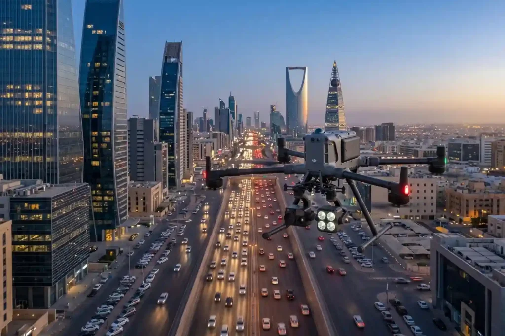
In rapidly growing cities like Riyadh and Jeddah, traffic congestion is more than a simple daily annoyance. It represents a significant drag on economic productivity and a hurdle to improving the general quality of life. The primary issue with current infrastructure is that most traffic lights operate on static, fixed timers. These systems are unable […]
Why We Need Digital Twins to Save Our Ancient Landmarks
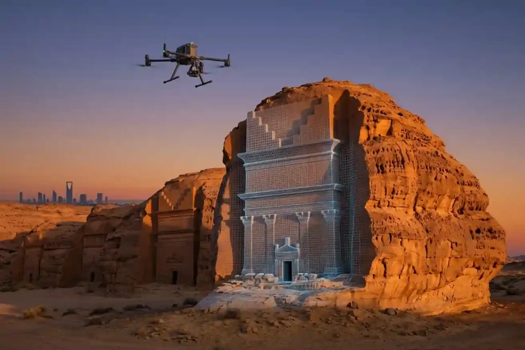
History is not permanent. Even the strongest stones of Al-Ula and the ancient mud-brick walls of Diriyah face a silent, constant threat from time, weather, and the natural process of decay. While we cannot stop the clock, we now have the technology to create a perfect digital backup of these treasures before they change forever. […]
Safe Site Measurement: Visual RTK GNSS Measurement for Elevation Models and Surface Mapping

In the high-stakes environments of 2026, topographic surveying has evolved. We have moved past simple coordinates and into the realm of complex Digital Elevation Models (DEM) and Digital Surface Models (DSM). However, a persistent challenge remains: the vertical barrier. Whether it is an unstable pit wall in a quarry or a jagged stockpile in a […]
The Complete DJI Enterprise Software Guide: From Data to Intel

Drones alone are no longer enough for operational purposes. While a high-performance aircraft is the “muscle” of the operation, it is merely a vehicle for sensors. To truly unlock value, reliable software is needed to process large amounts of data acquired during field missions. The complexity of modern infrastructure means that “one size fits all” […]
Drone Battery Storage & Safety: The Essential Guide

In recent years, lithium-ion battery incidents have surged globally, with reports showing a 17% increase in related fires due to mishandling during storage and charging. A single lithium battery failure can trigger “thermal runaway,” a catastrophic chain reaction where temperatures spike from 100°C to over 1,000°C in seconds. Alarmingly, over 50% of these fires occur […]